
Travelled: 242 kms (Total 2,616 kms)
The Alps to Ocean official brochure recommends to do the ride from Mount Cook to Oamaru due to wind direction and the downhill elevation.
But no, we are going to do the Ocean to Alps version. Doing it backwards!
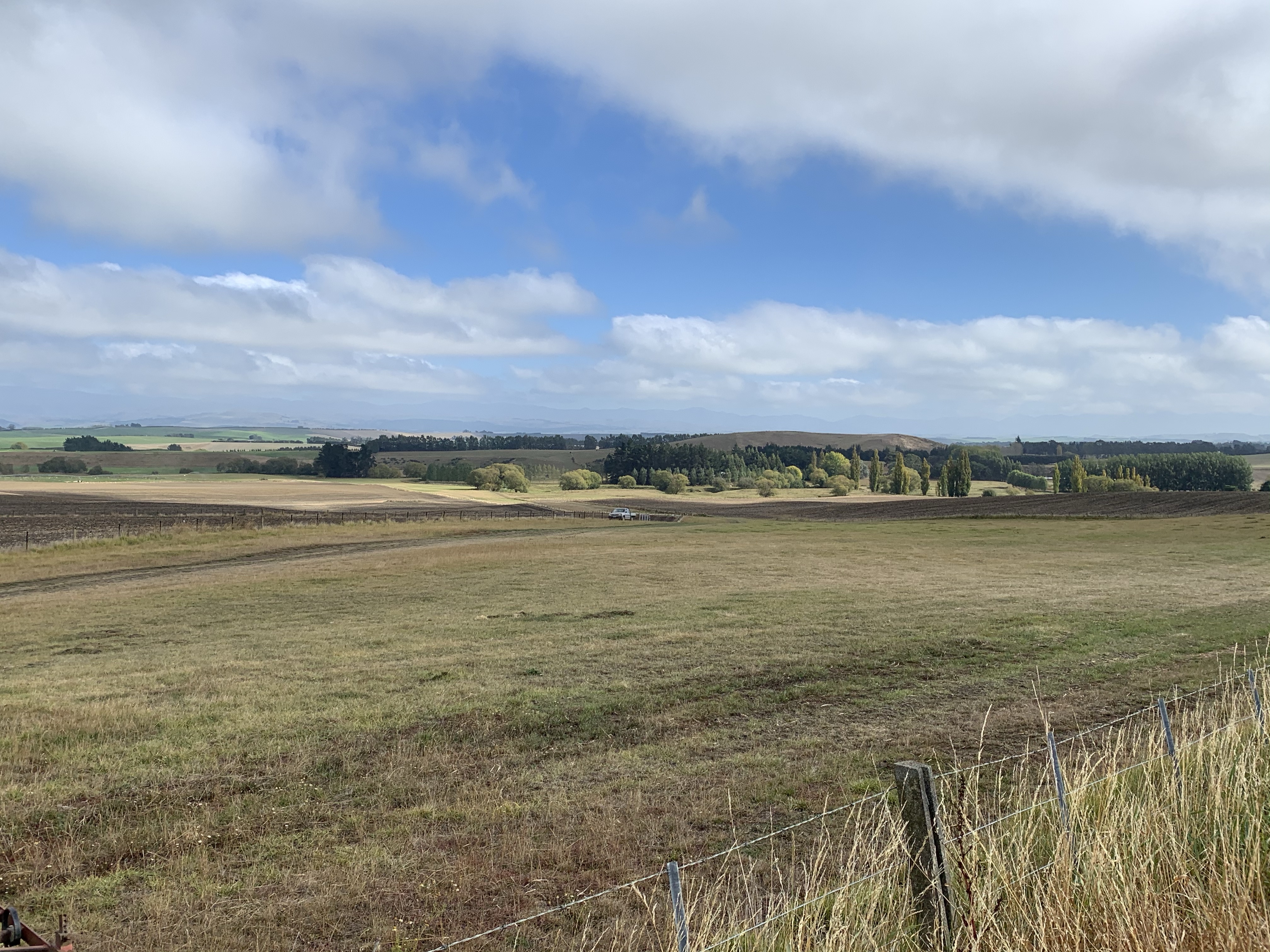
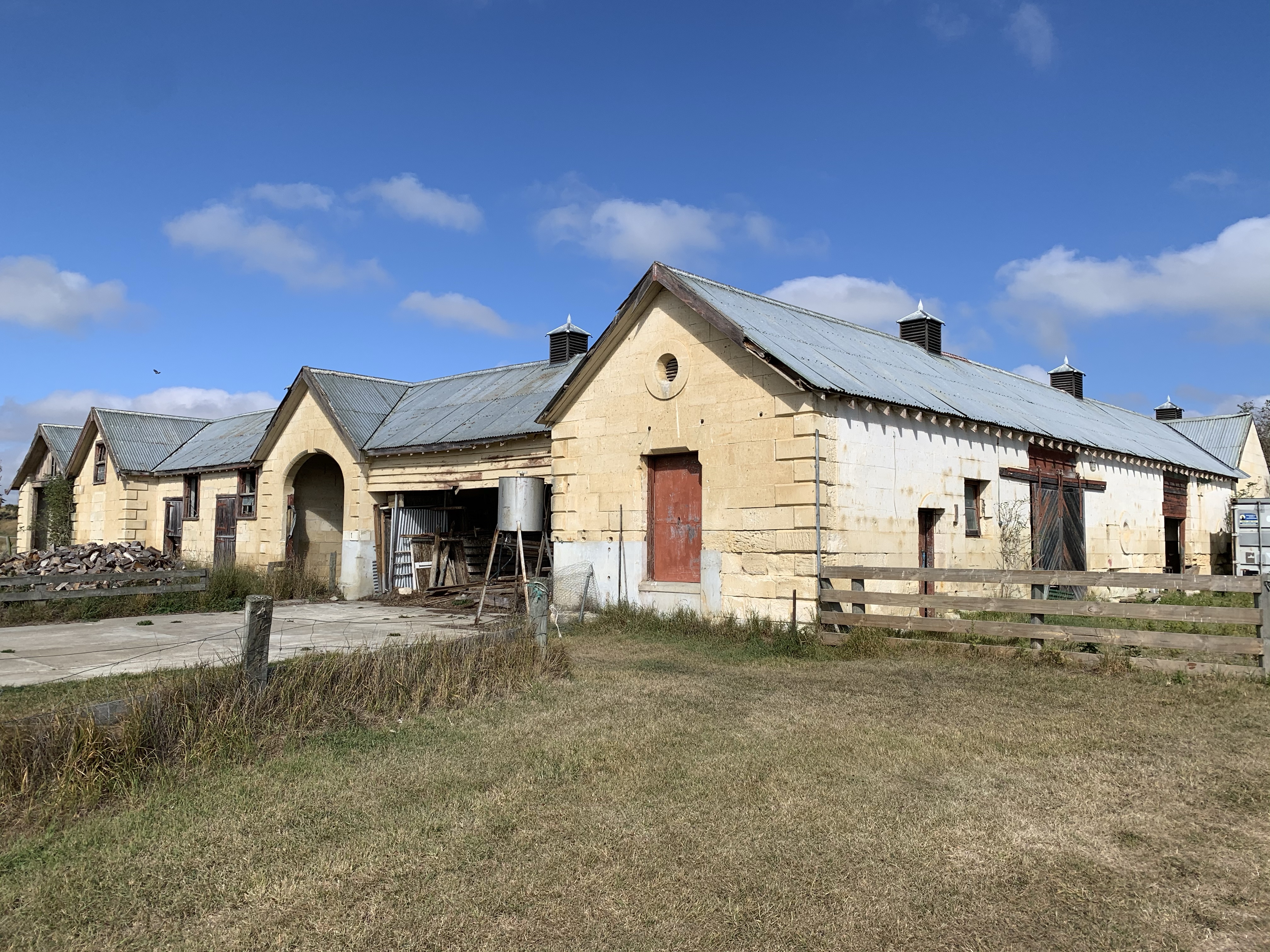
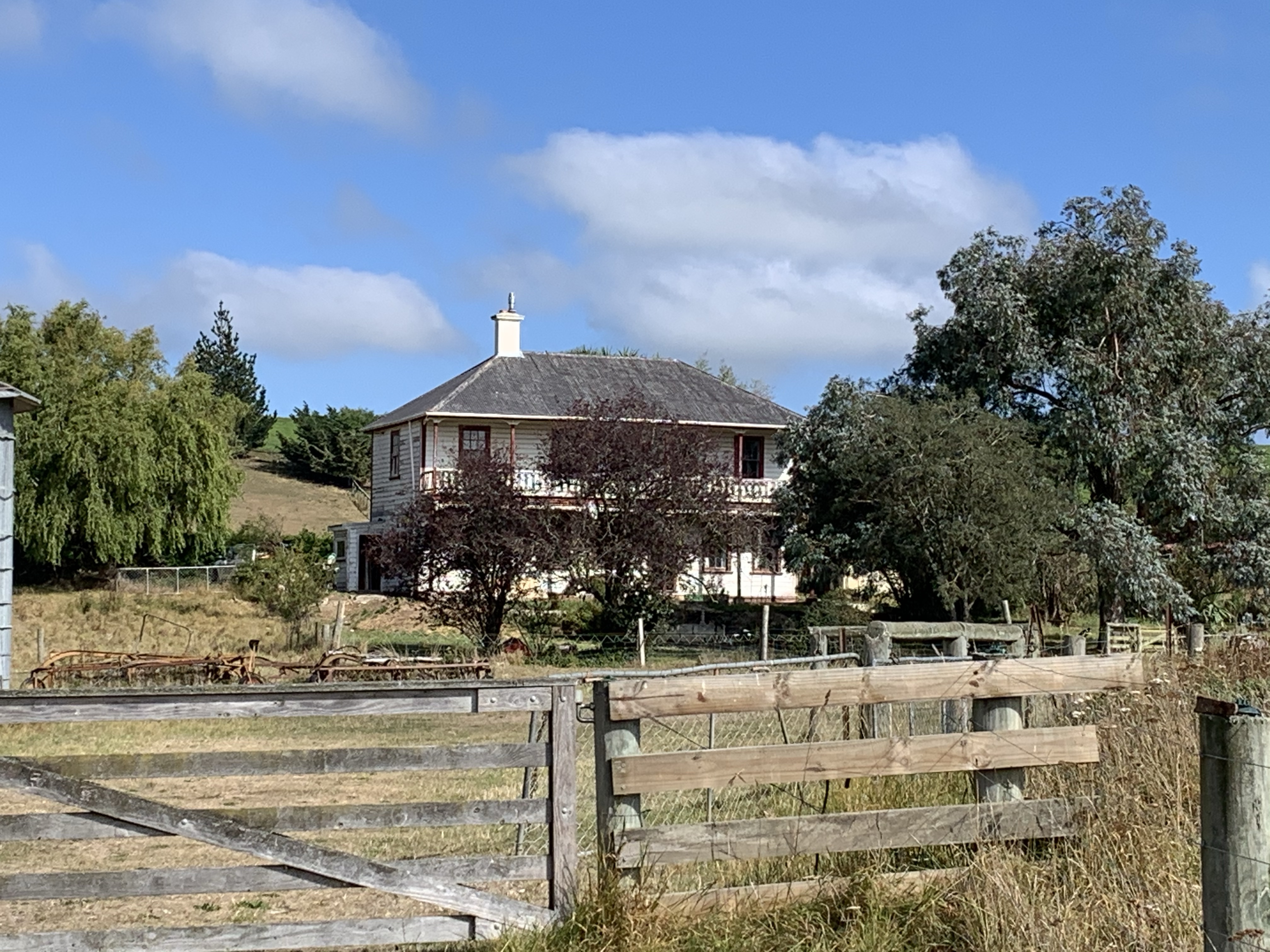
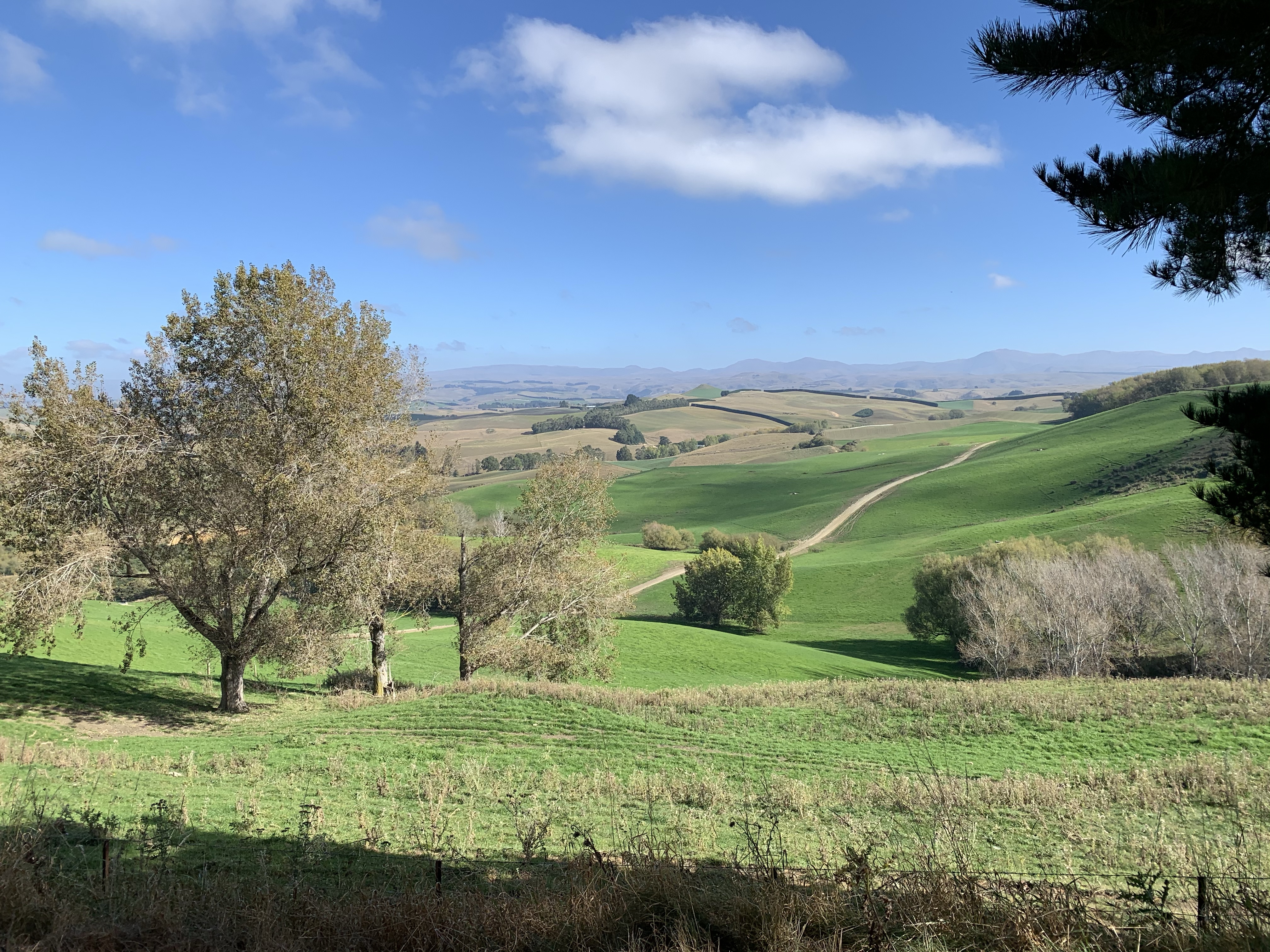
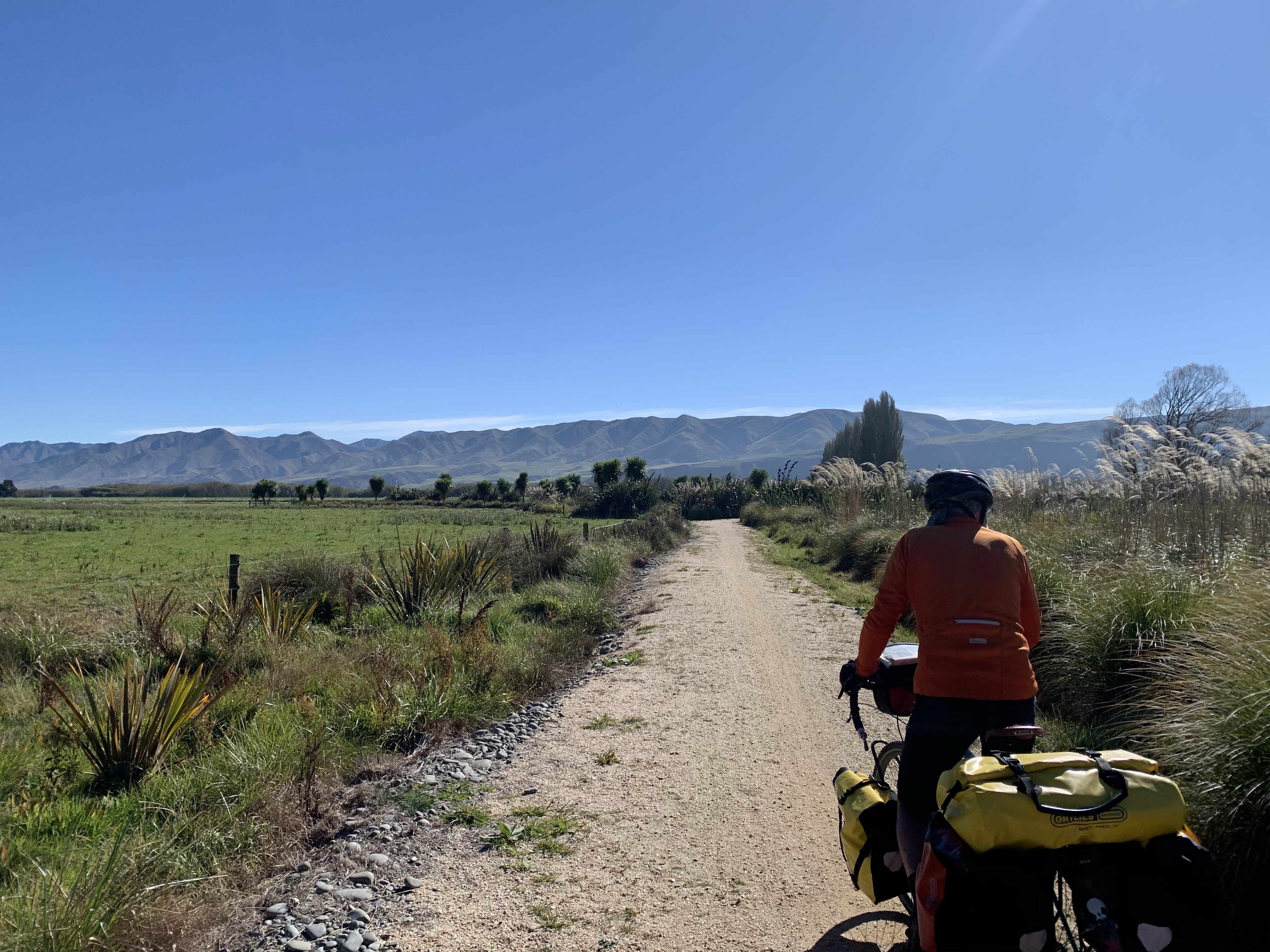
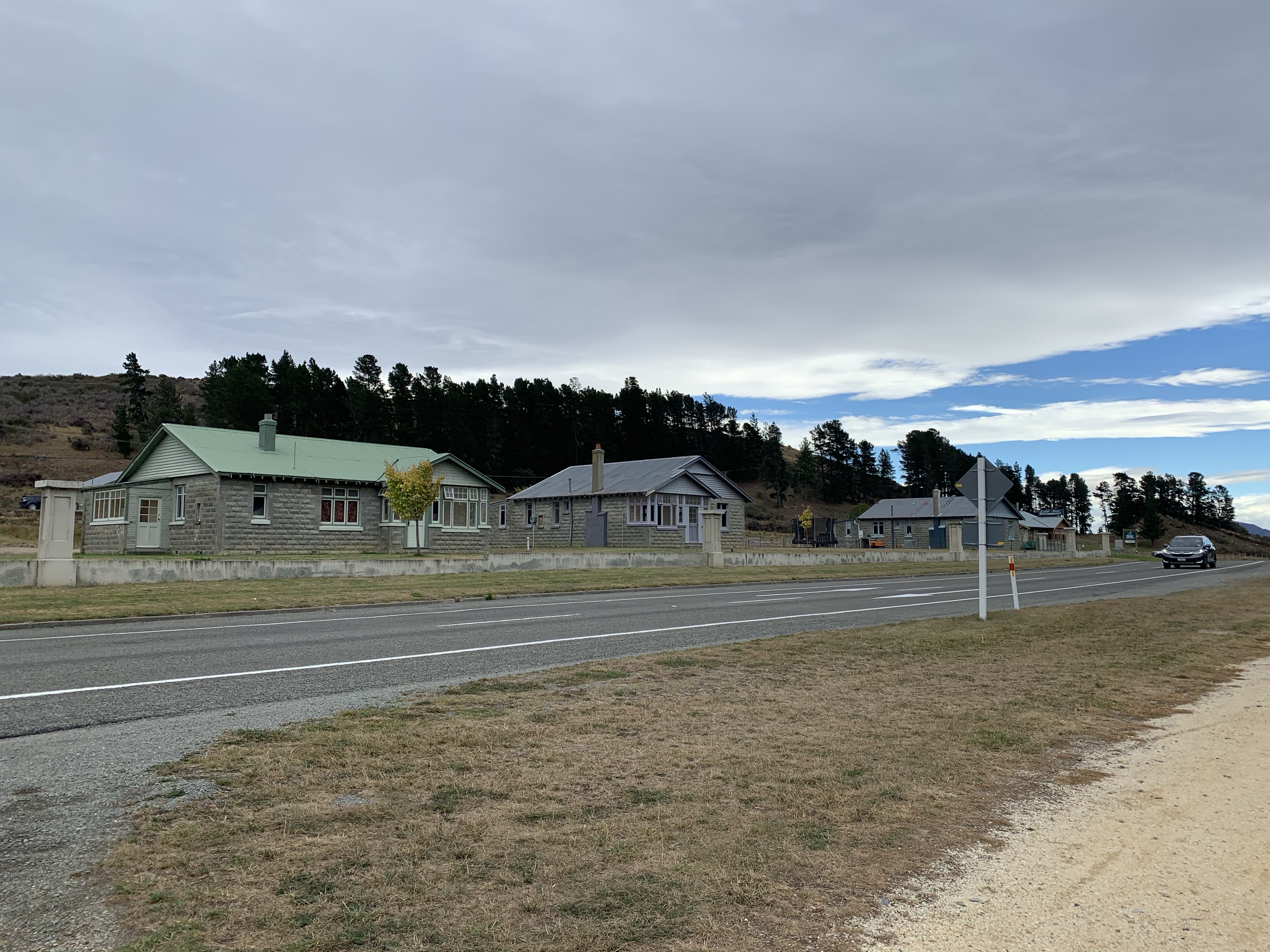
Starting from the campground in Oamaru, we headed inland passing some beautiful stone buildings and the views expanding out over pastoral landscapes.
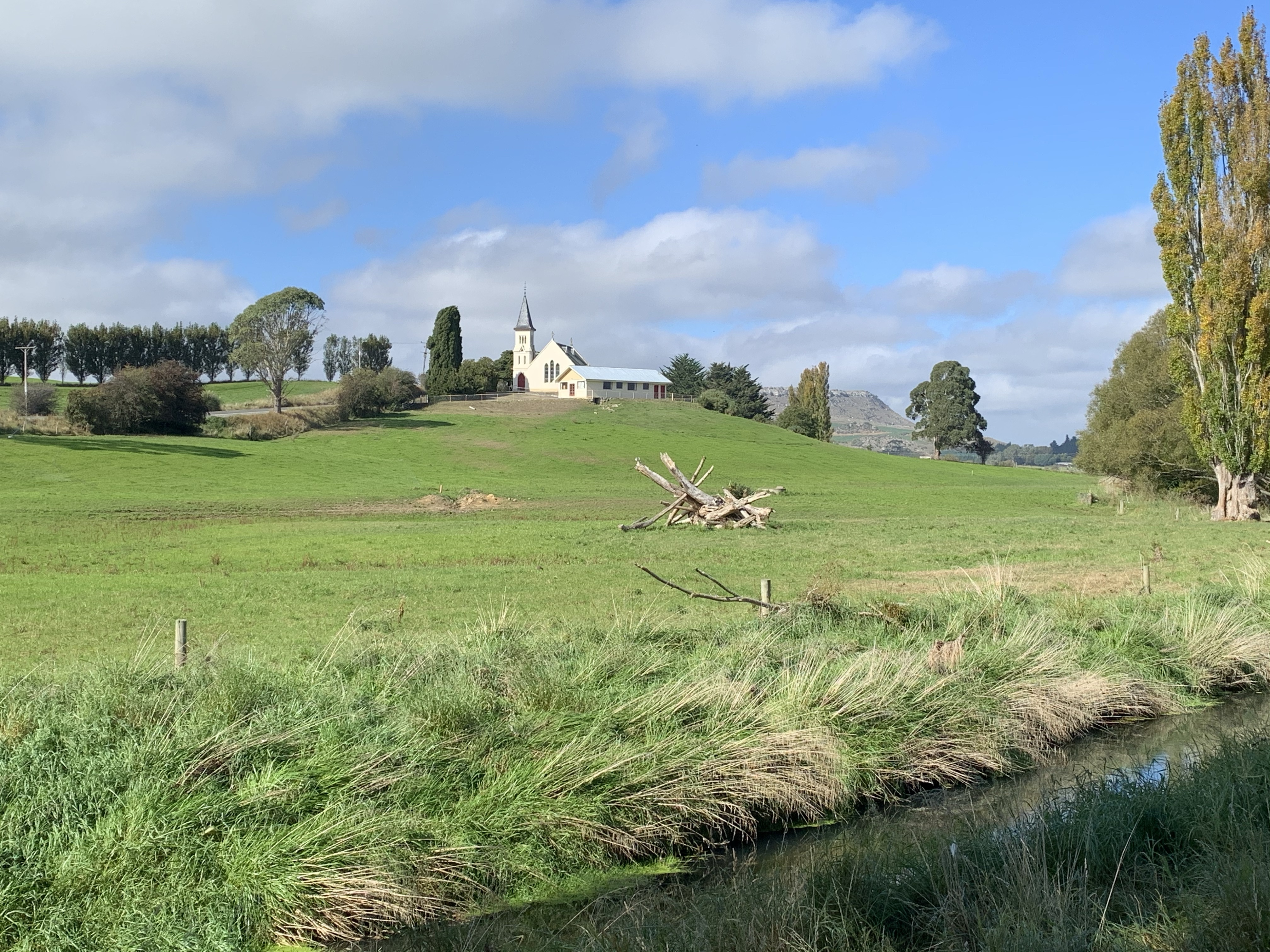
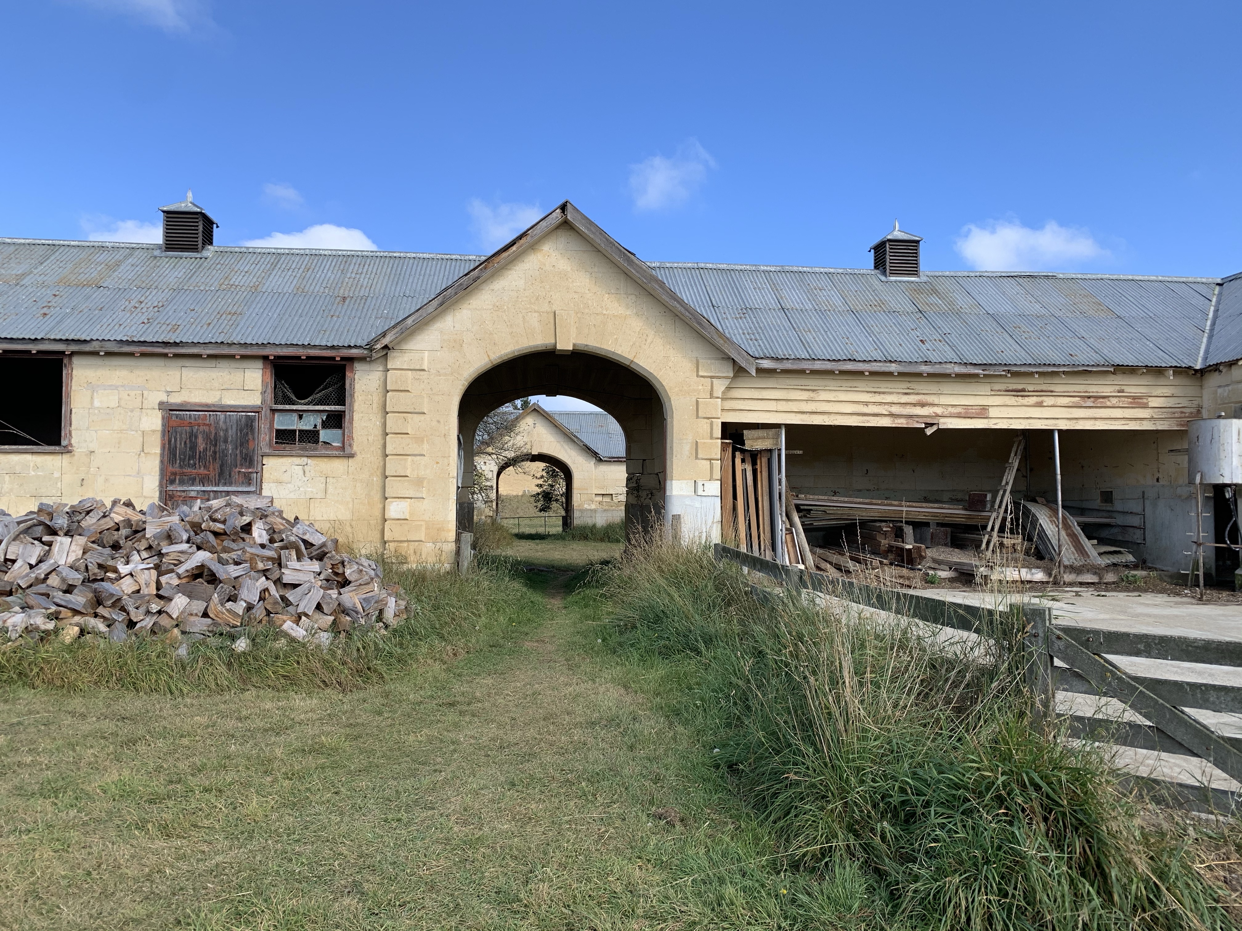
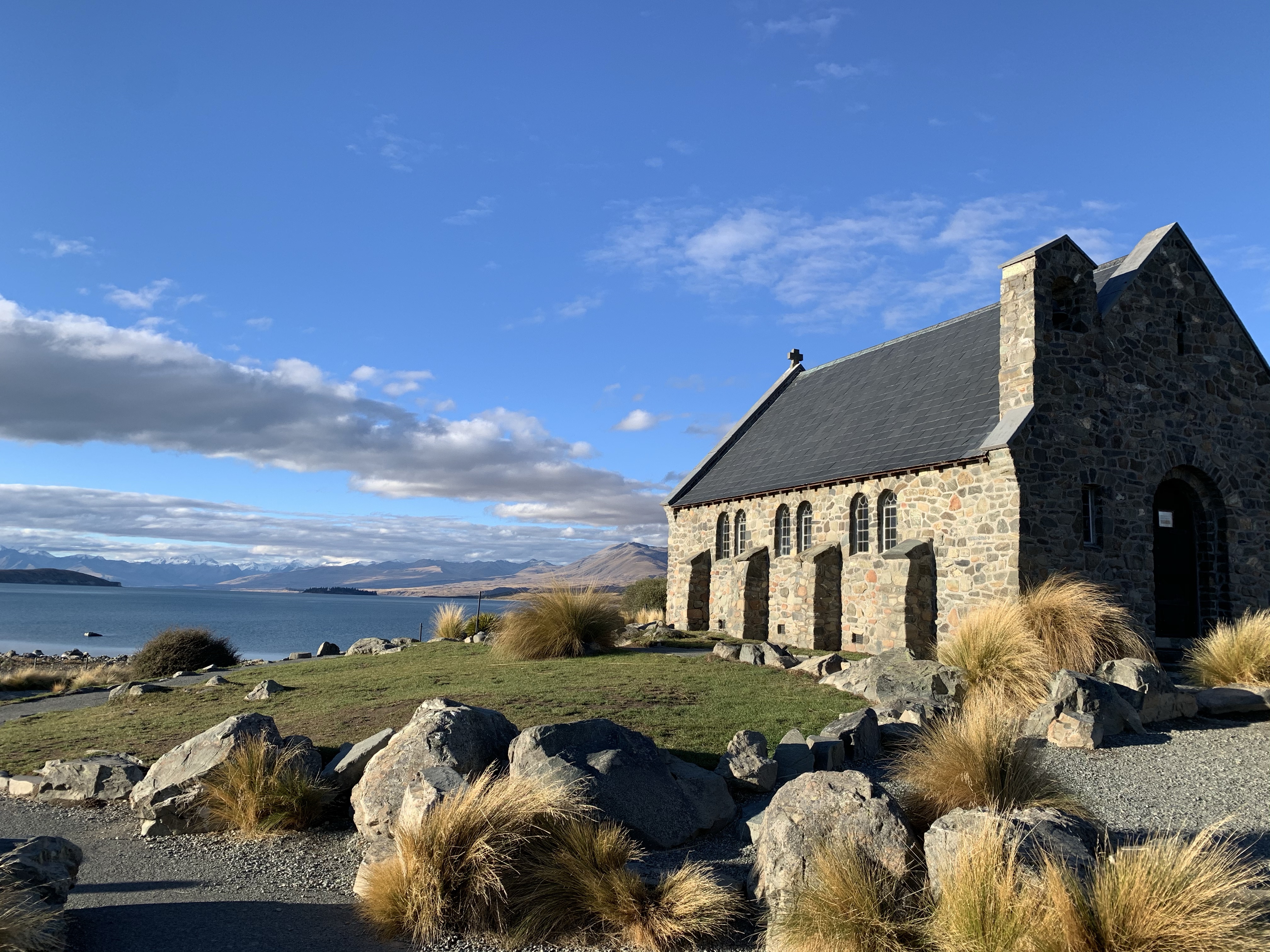
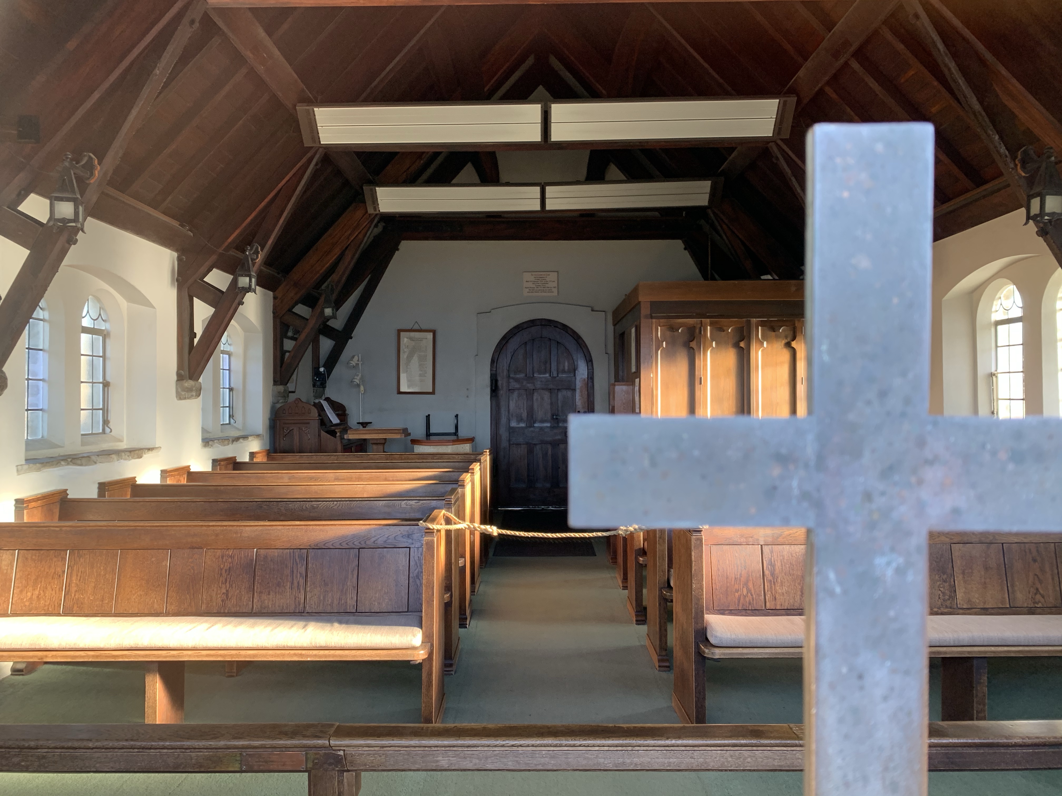
There was no shortage of history to view. From an idyllic church on a hill to an amazing stone barn and stables with a two storey villa in behind.
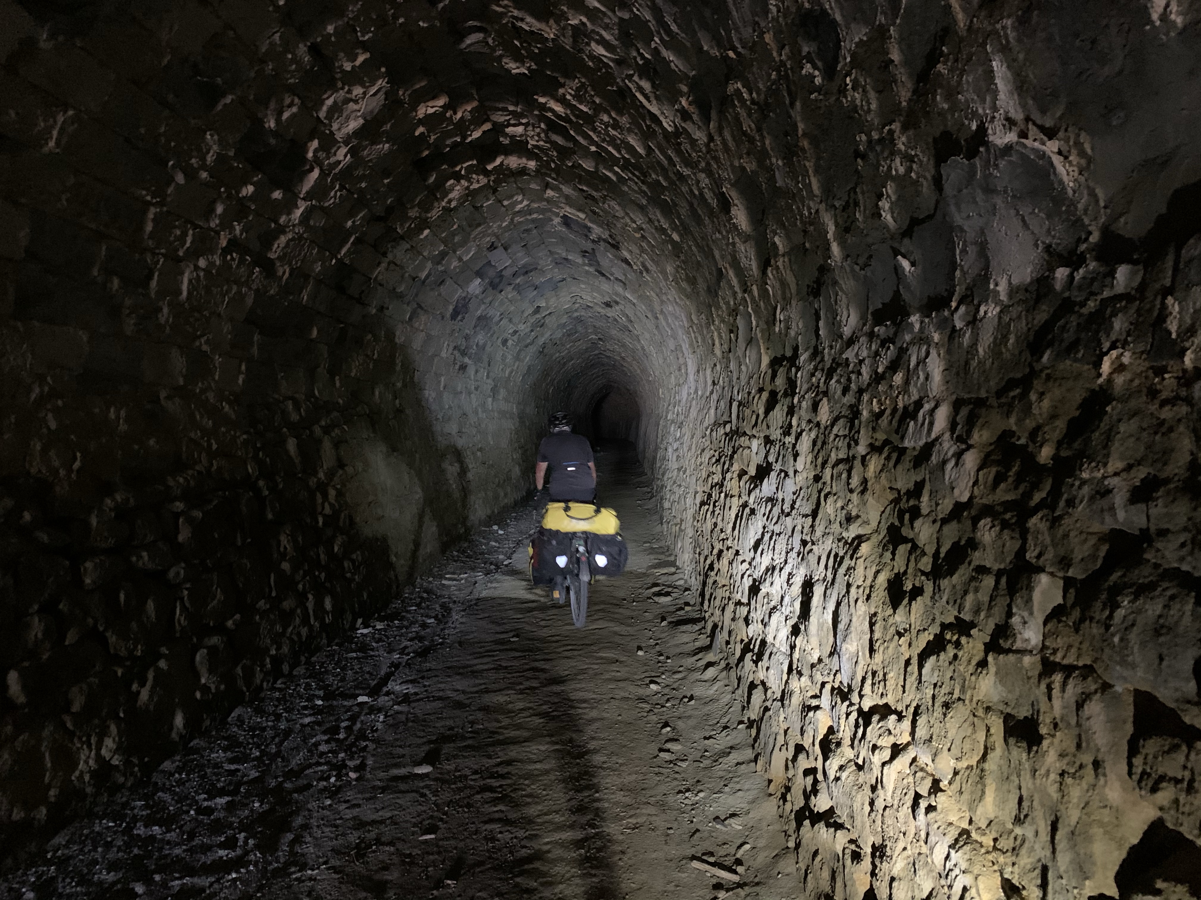
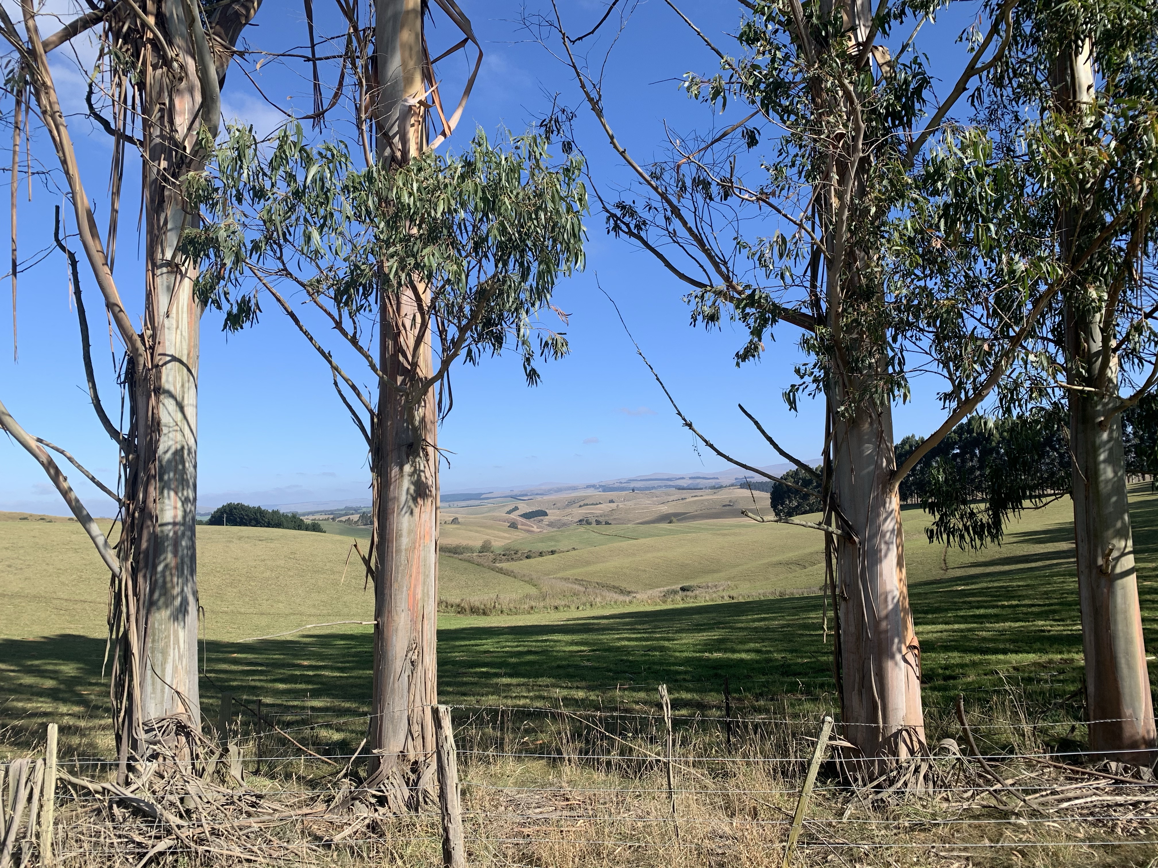
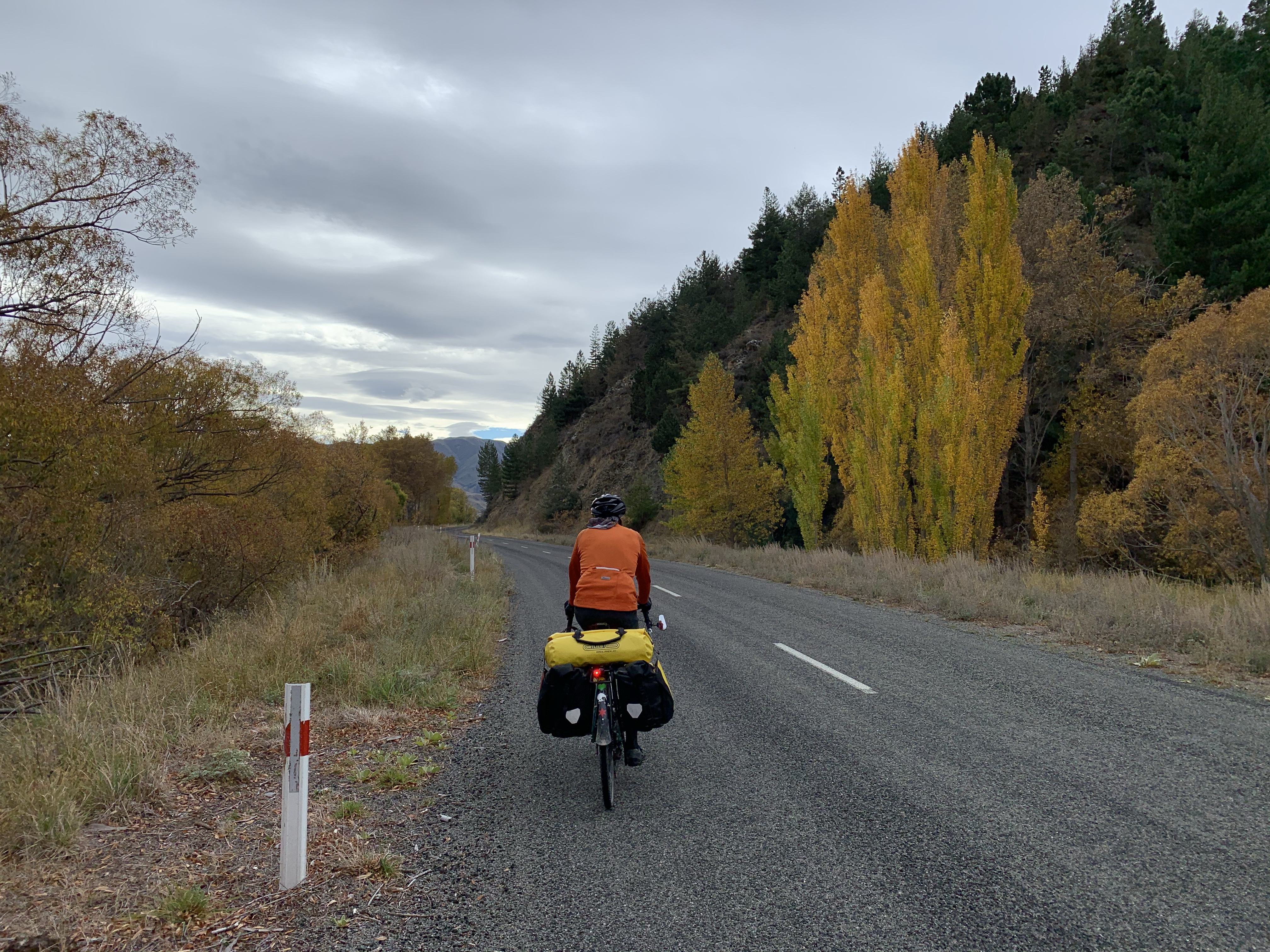
We climbed up we rode through the Raki Tunnel and the beautiful expansive rural views continued with foraging for dinner greens along the way.
Riding alongside the incredible limestone cliffs at Island Cliff.
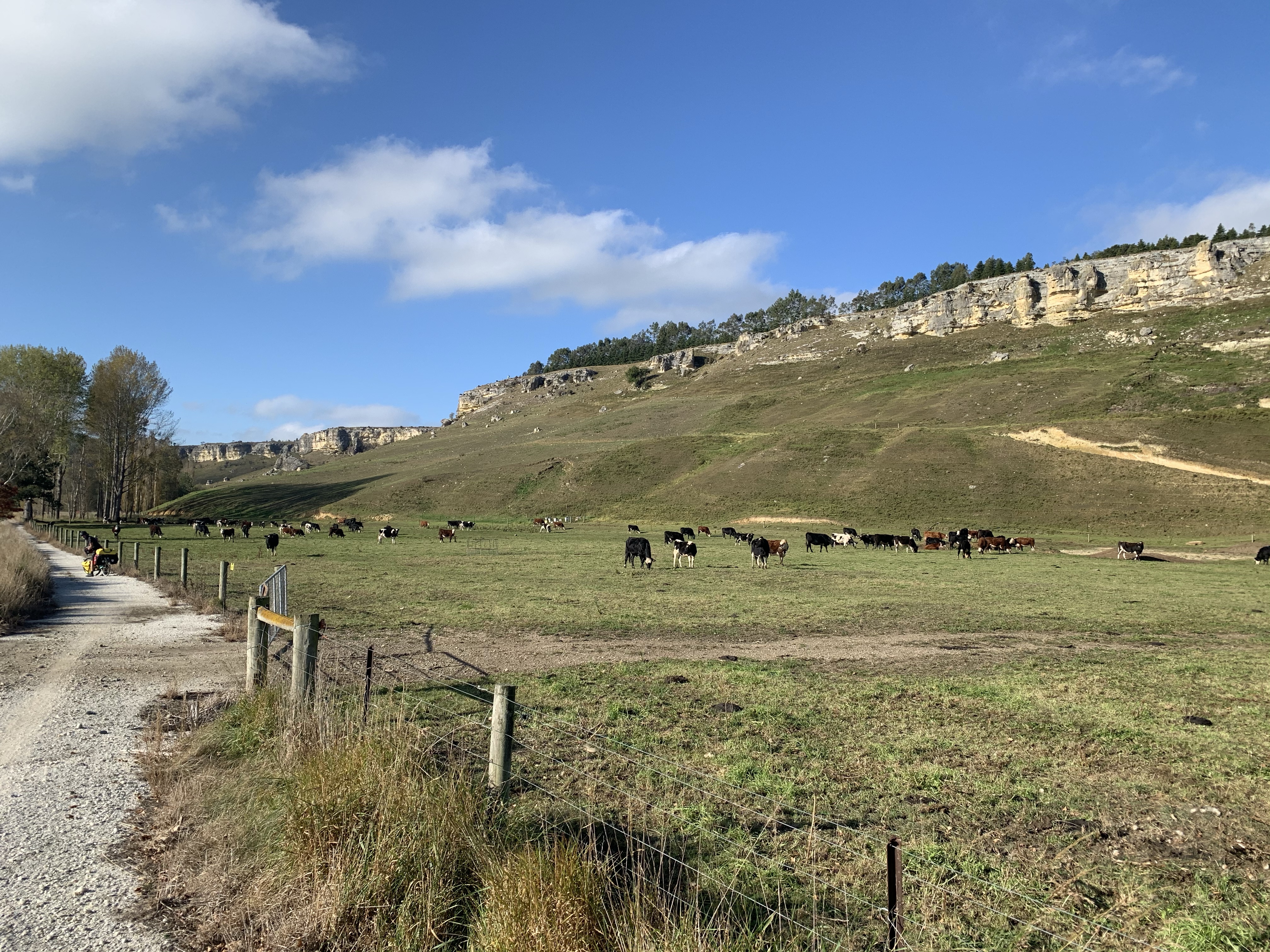
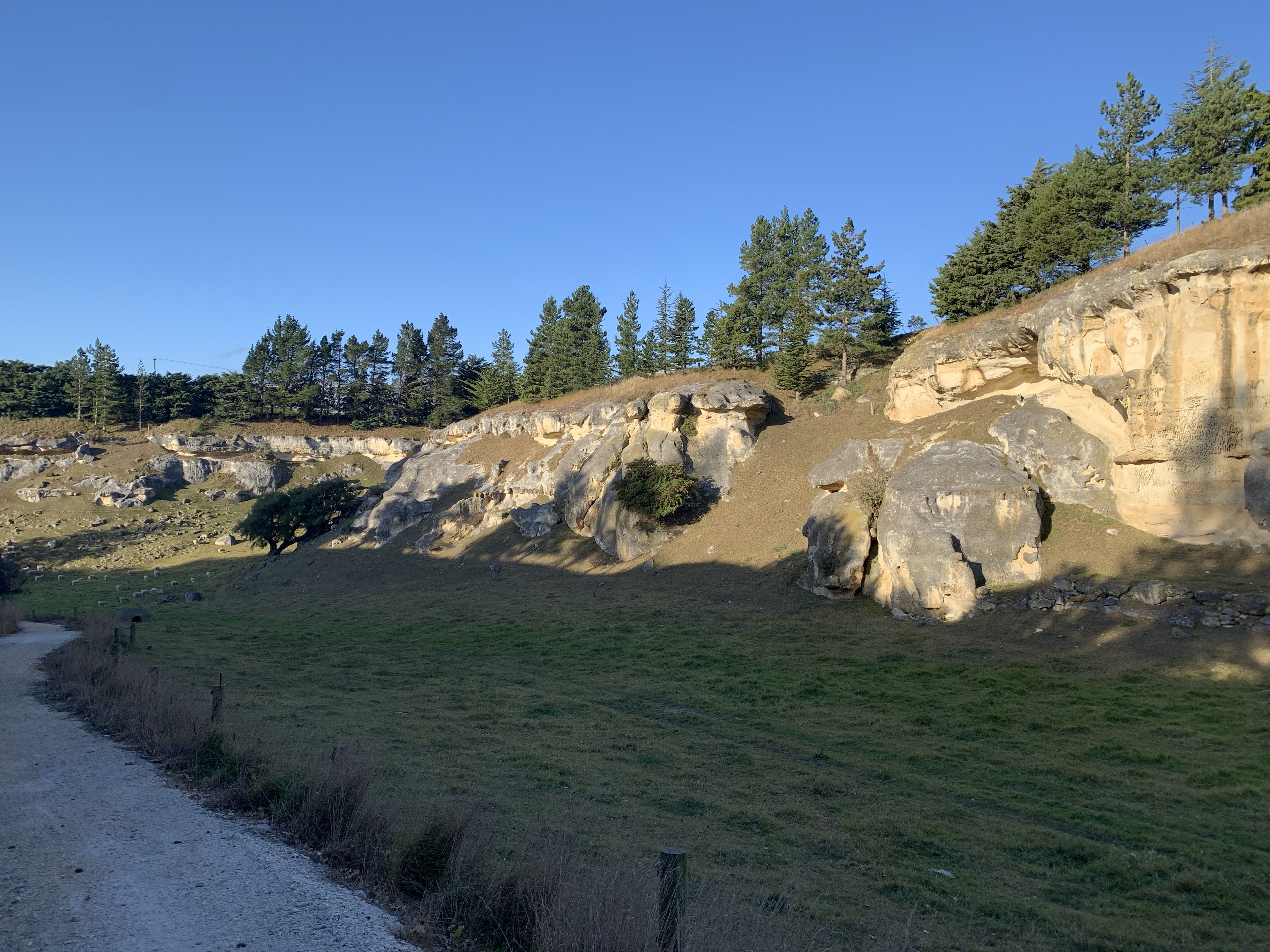
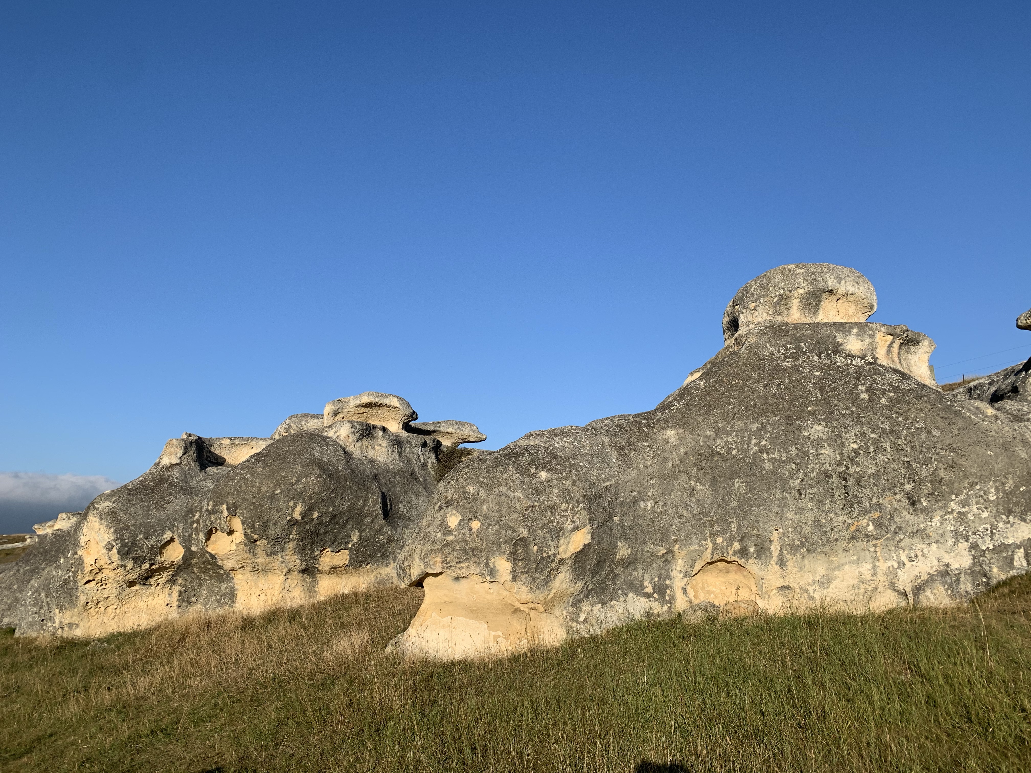
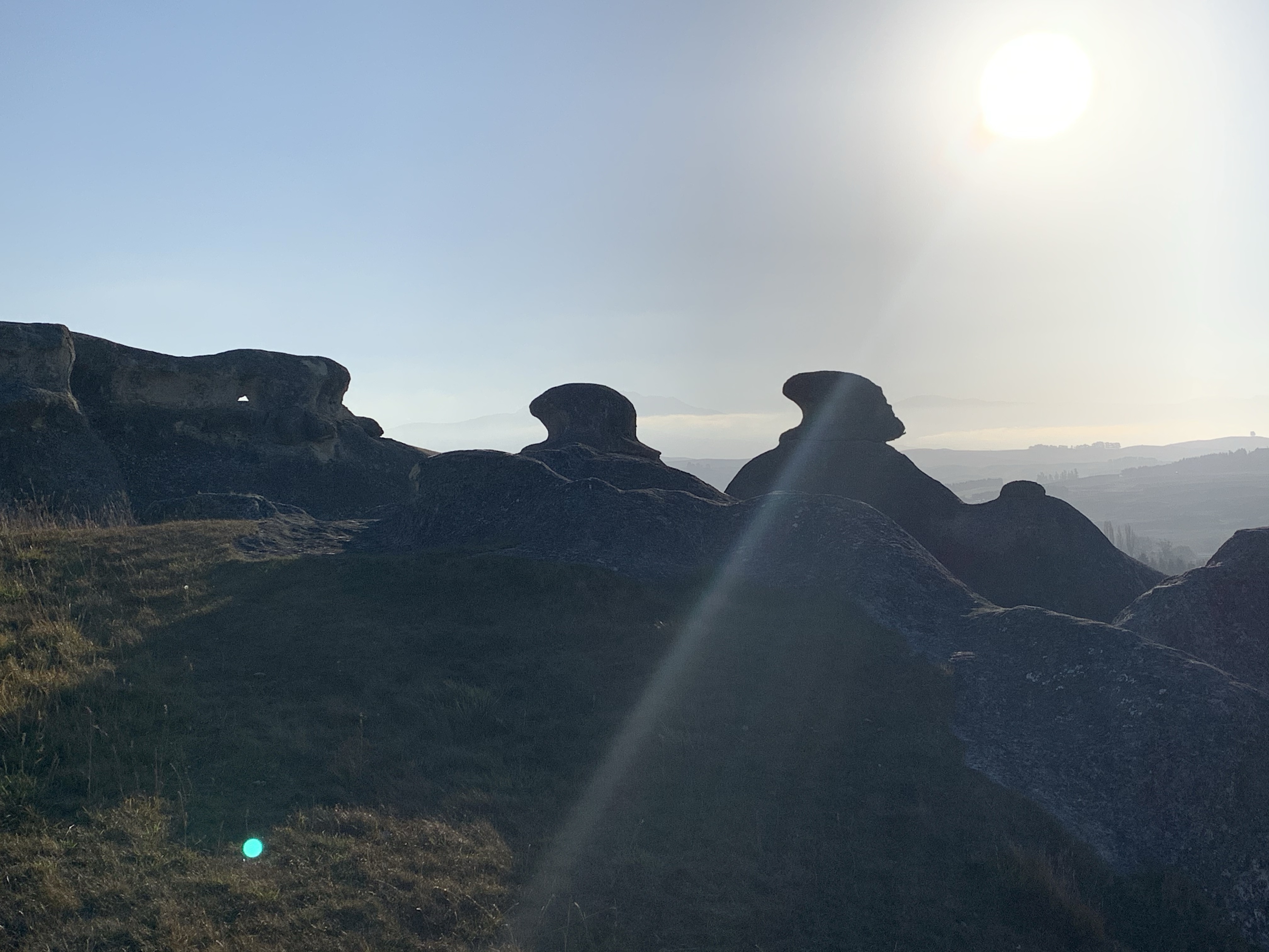
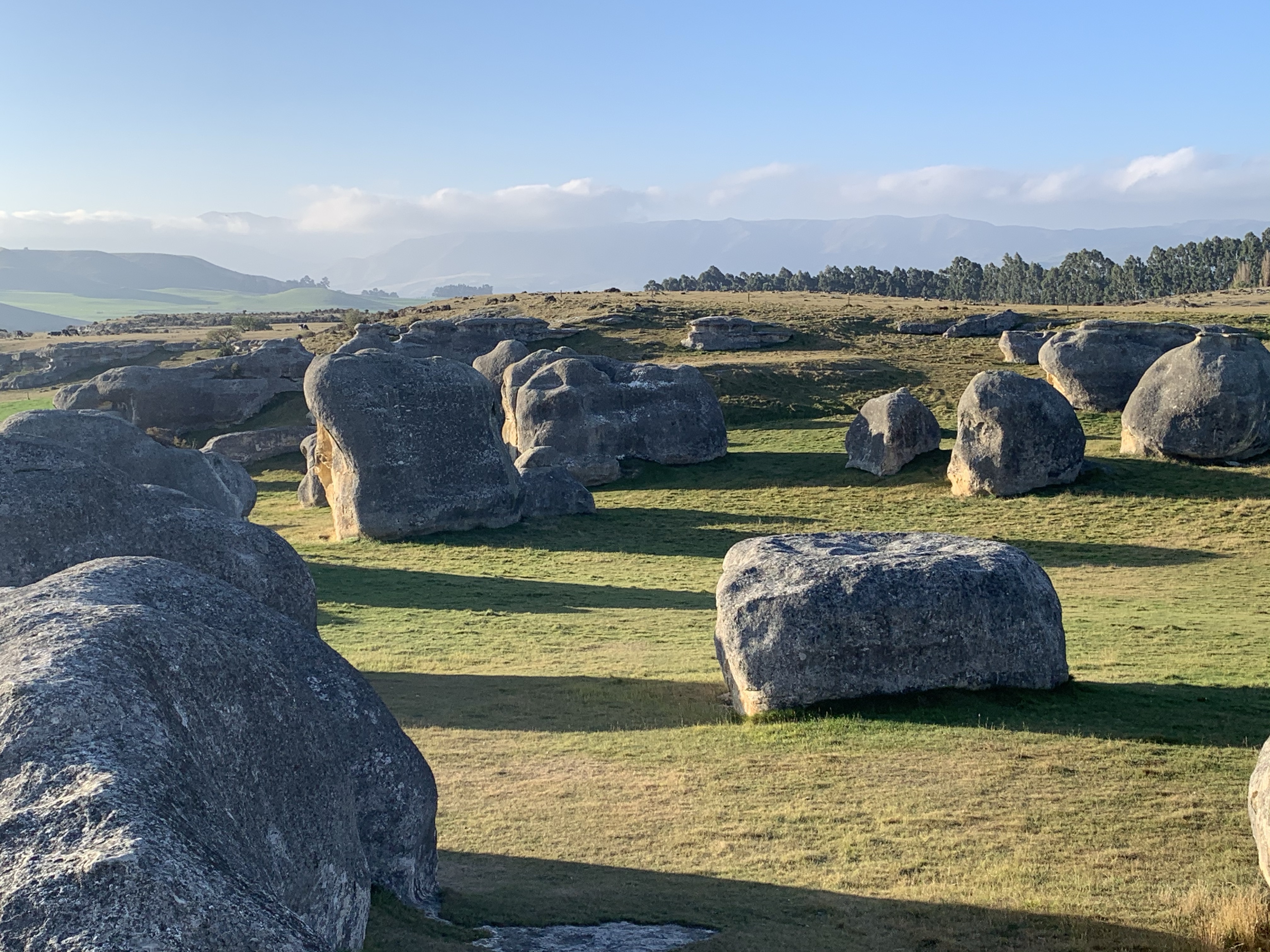
A stop for a short walk out to the Elephant Rocks which are made of the yellow-brown Otekaike limestone as seen in the cliffs earlier. Protruding from the ground, the rocks have been sculptured by the wind and the rain.
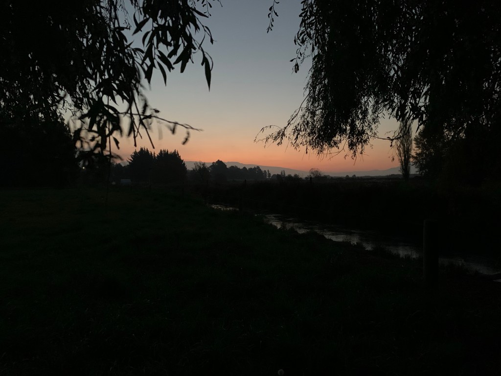
Arriving in Duntroon just in time to see the last of the sun setting over the hills.
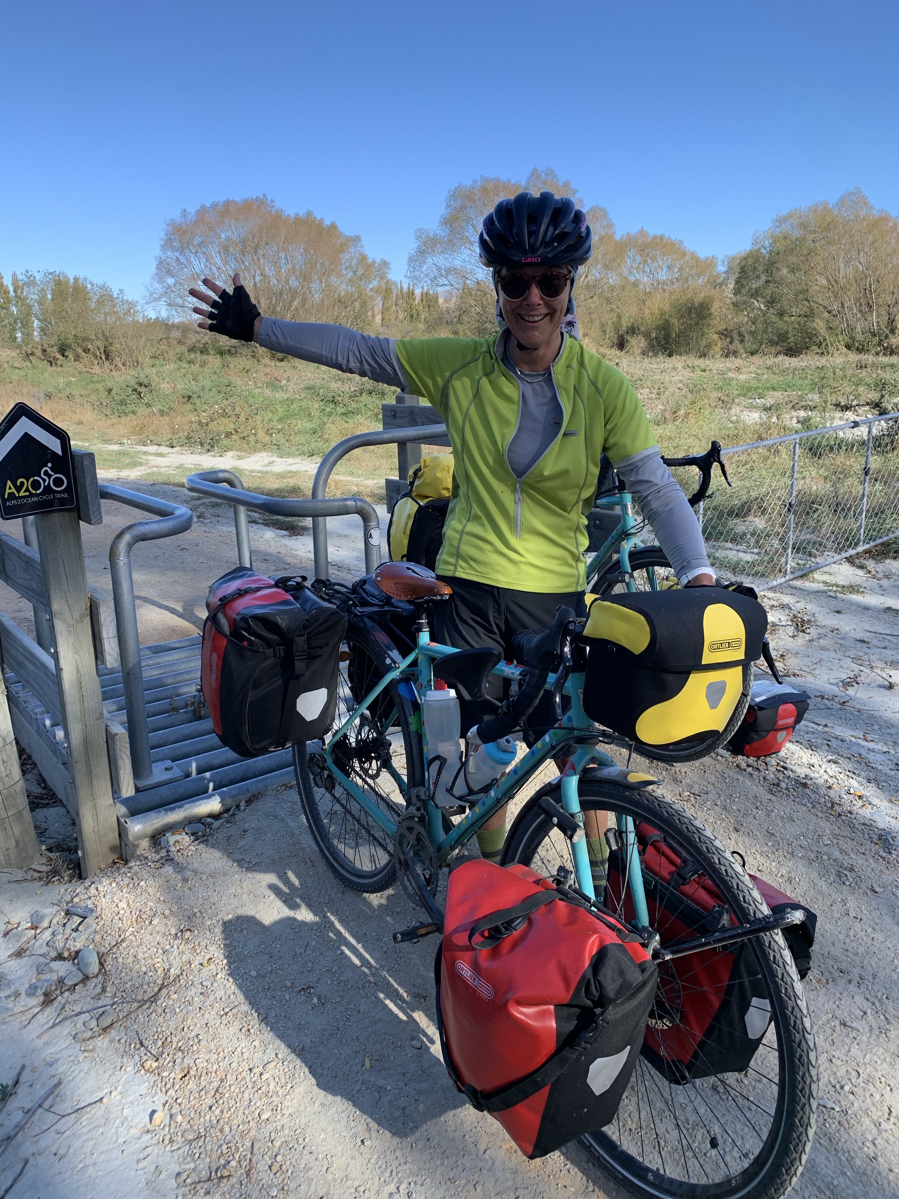
A chilly start to a new day but the clear sky promises a lovely day ahead.
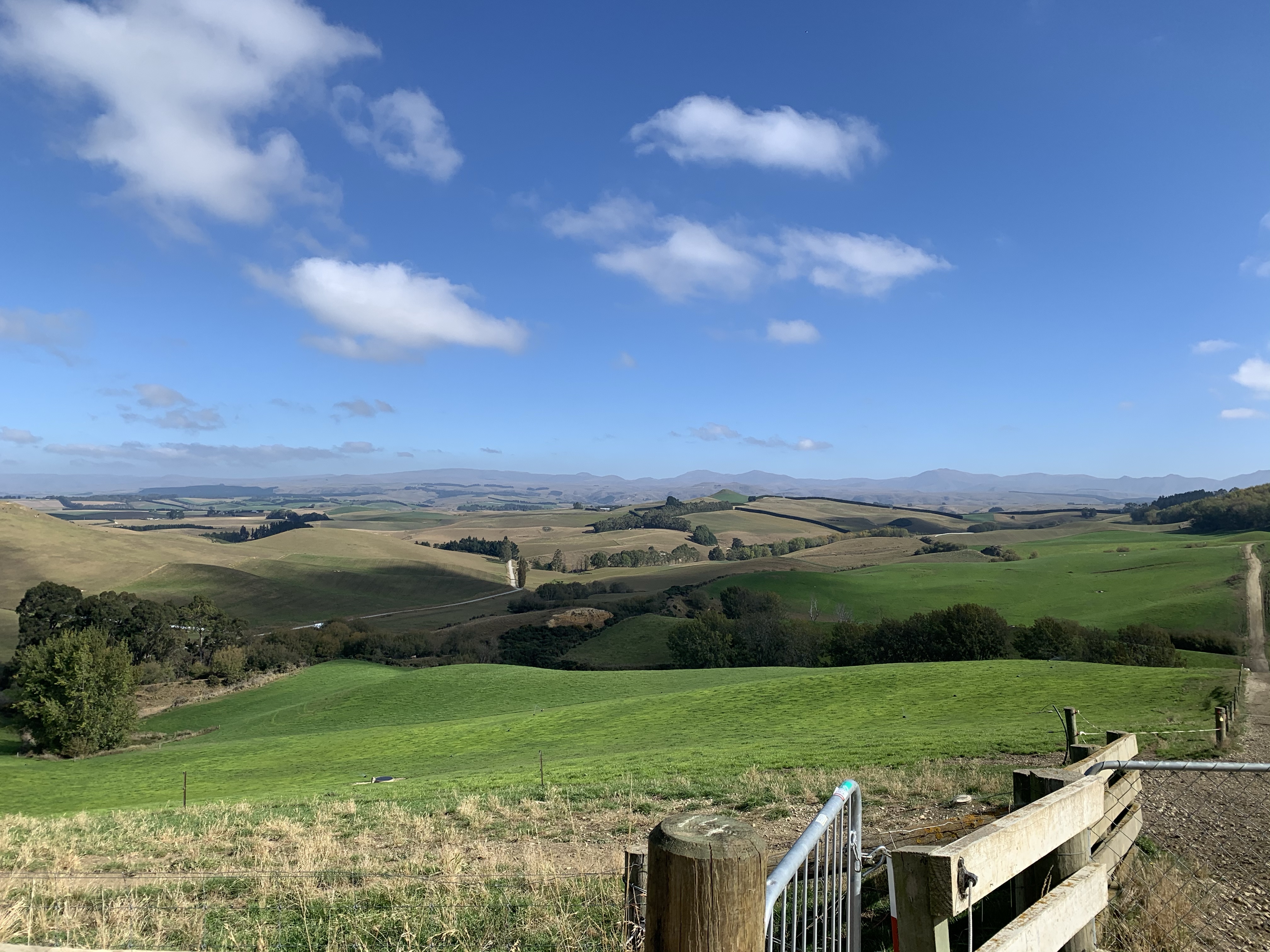
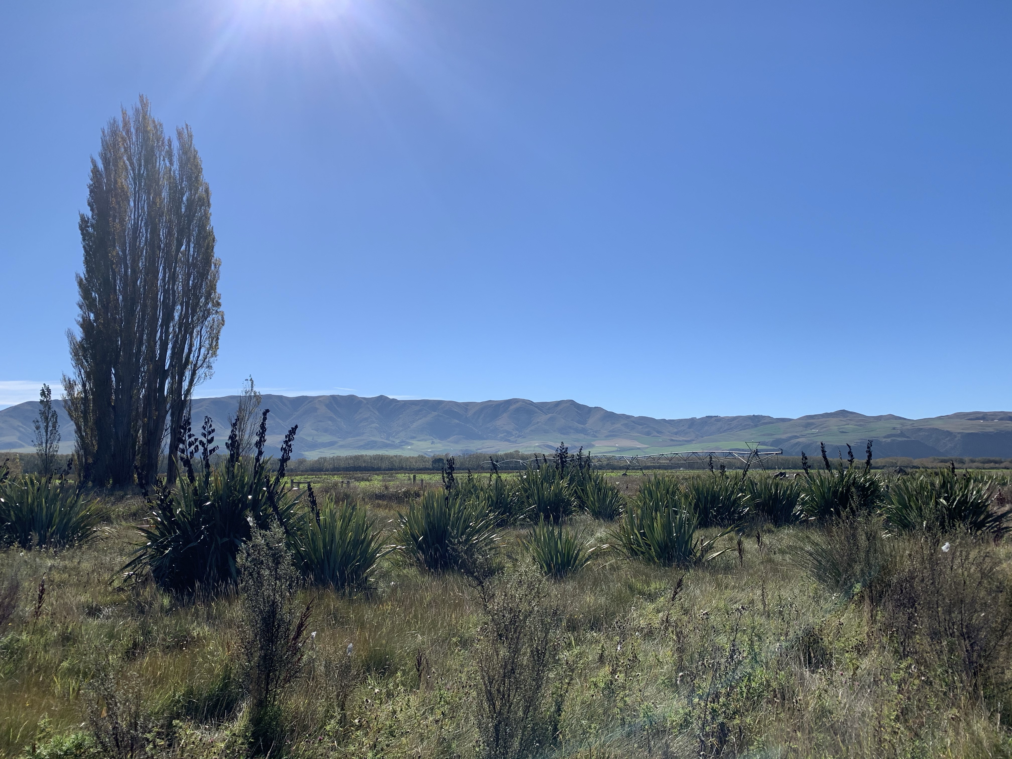
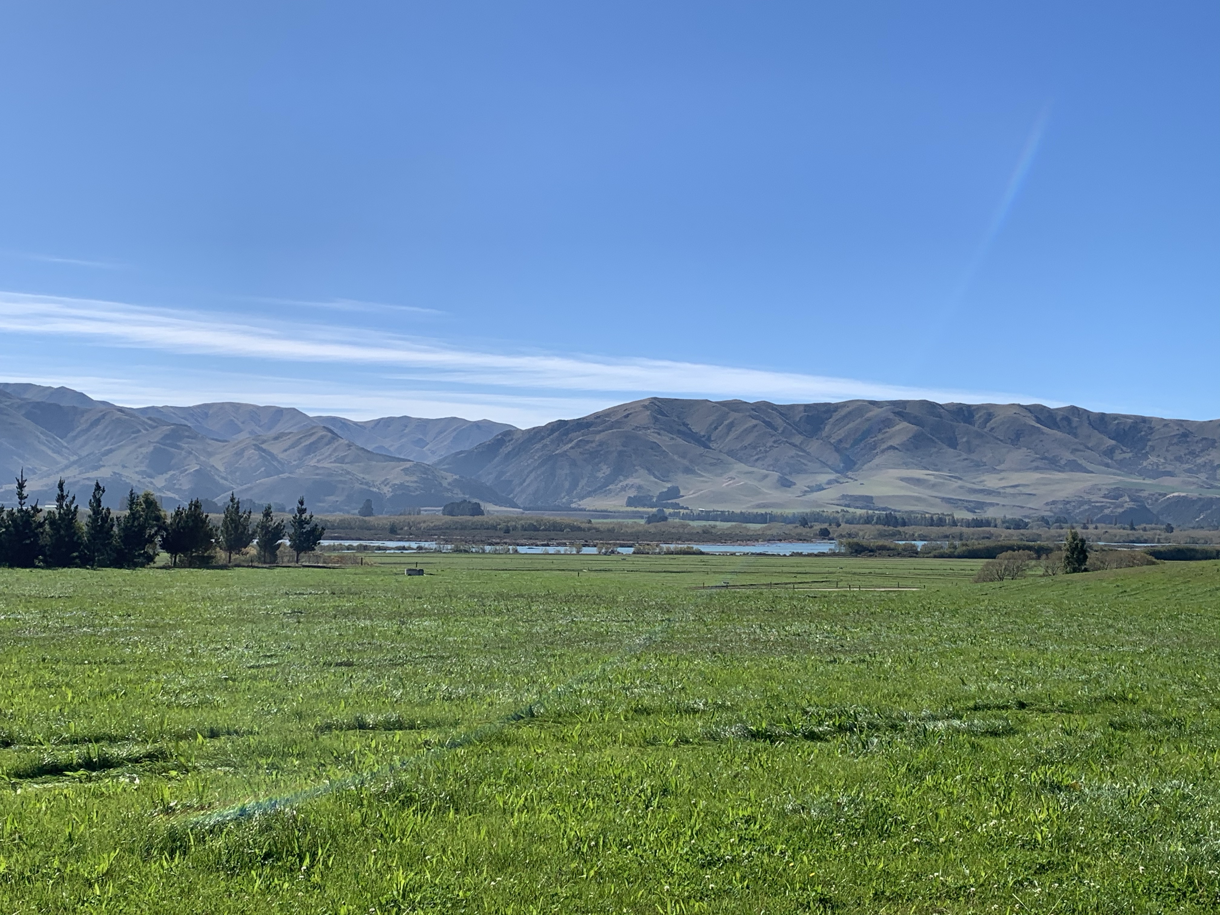
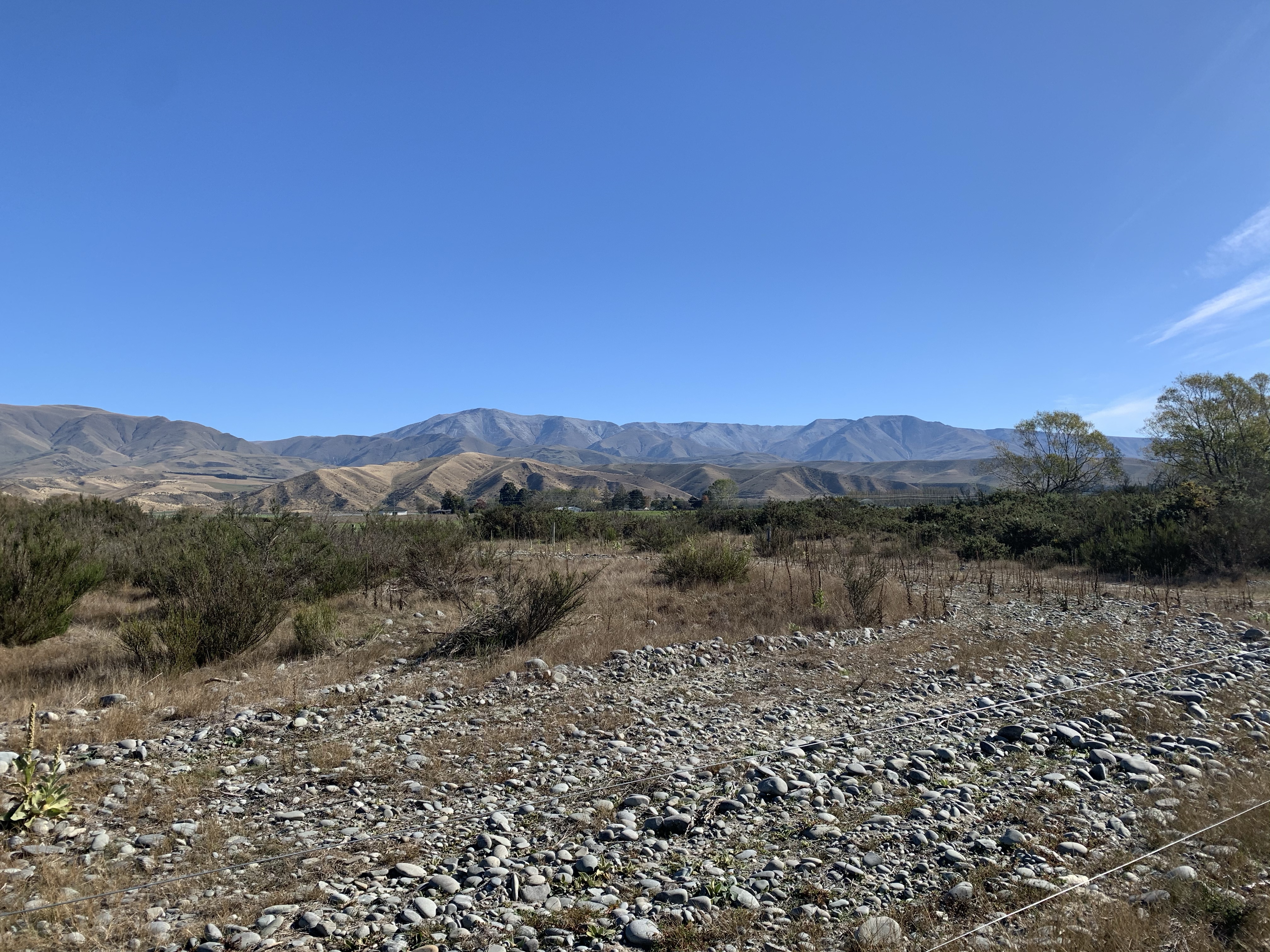
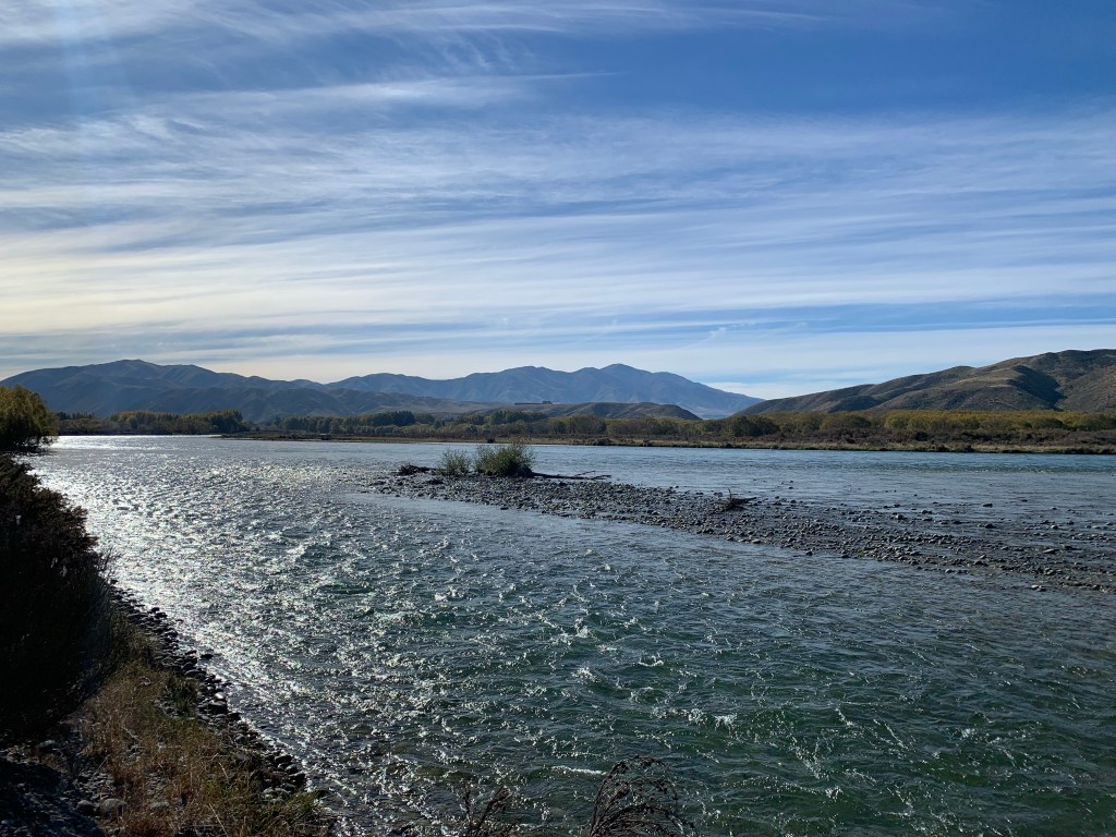
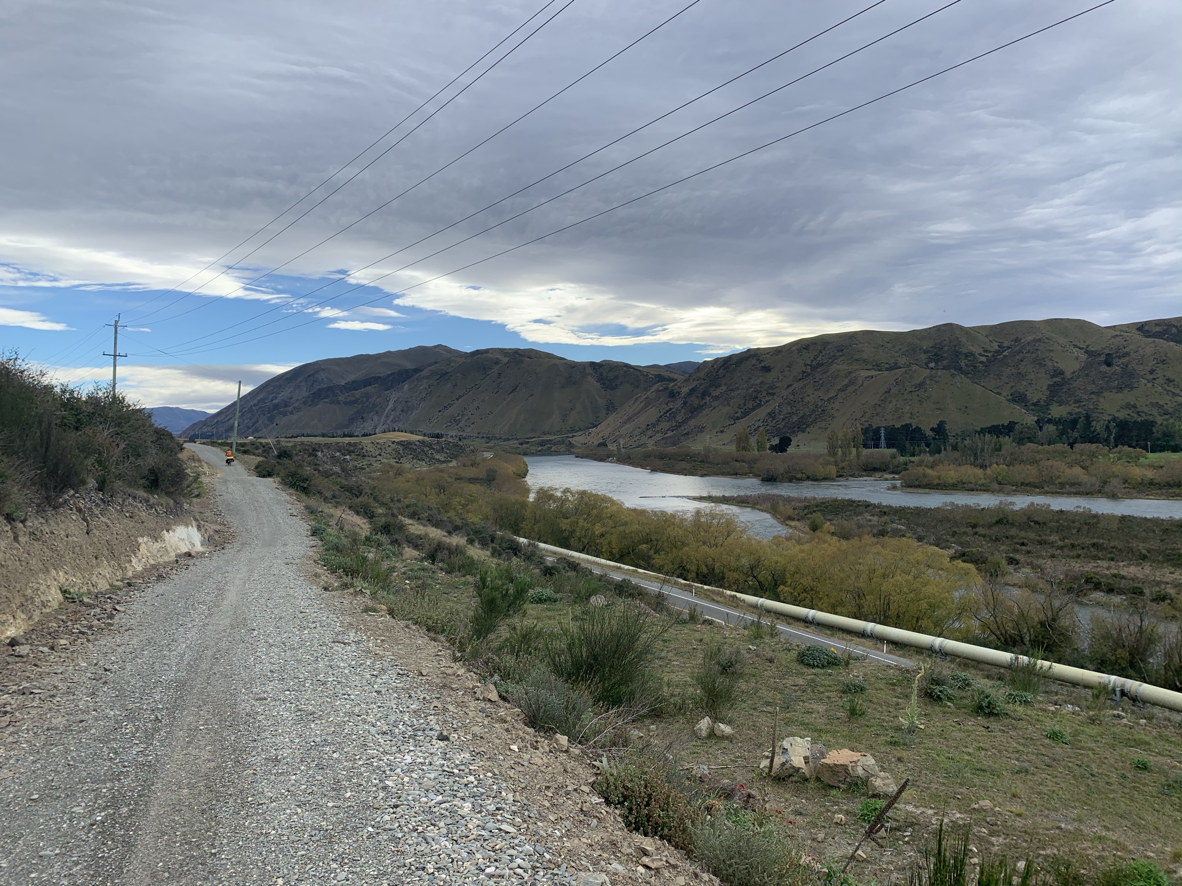
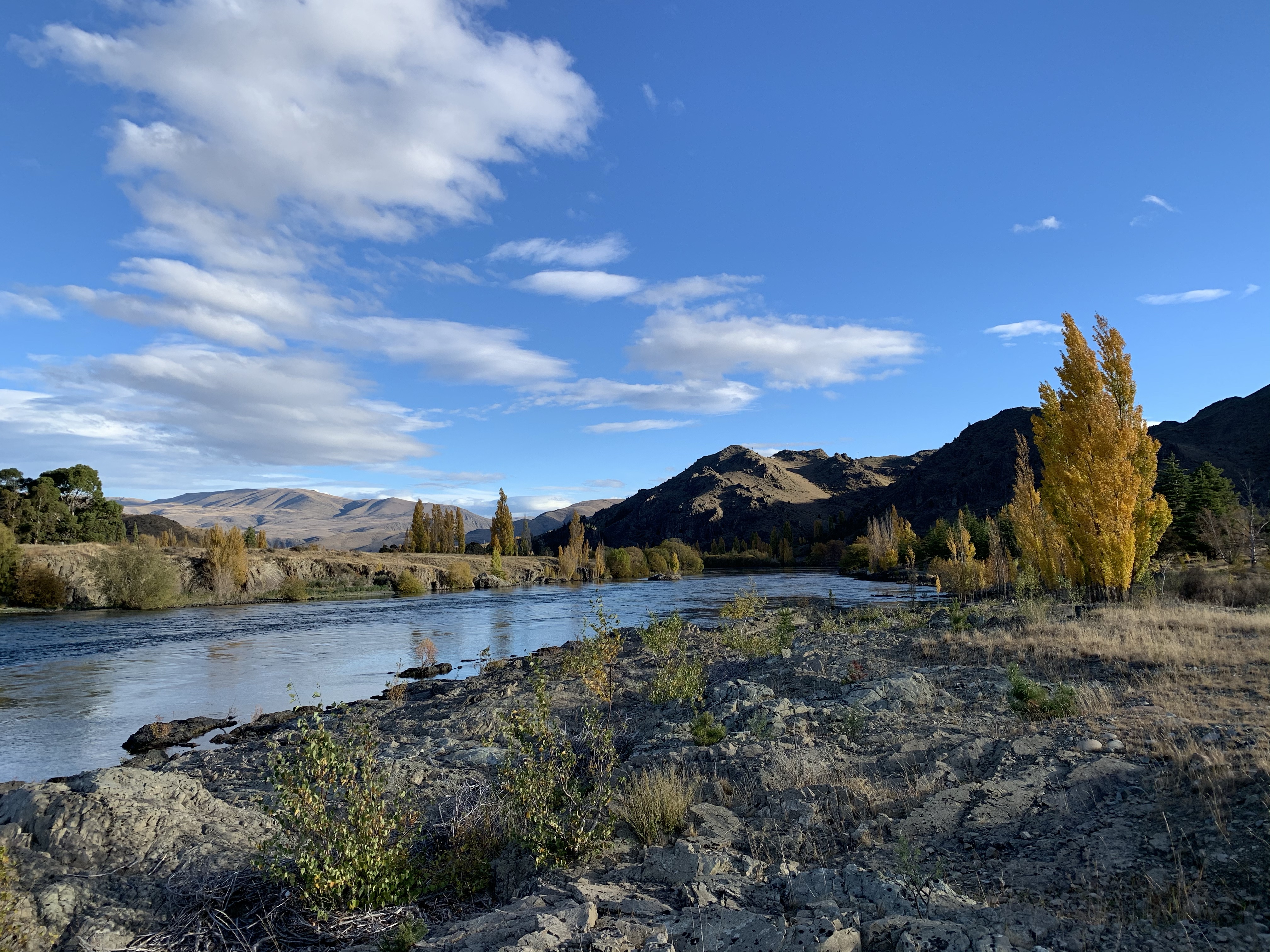
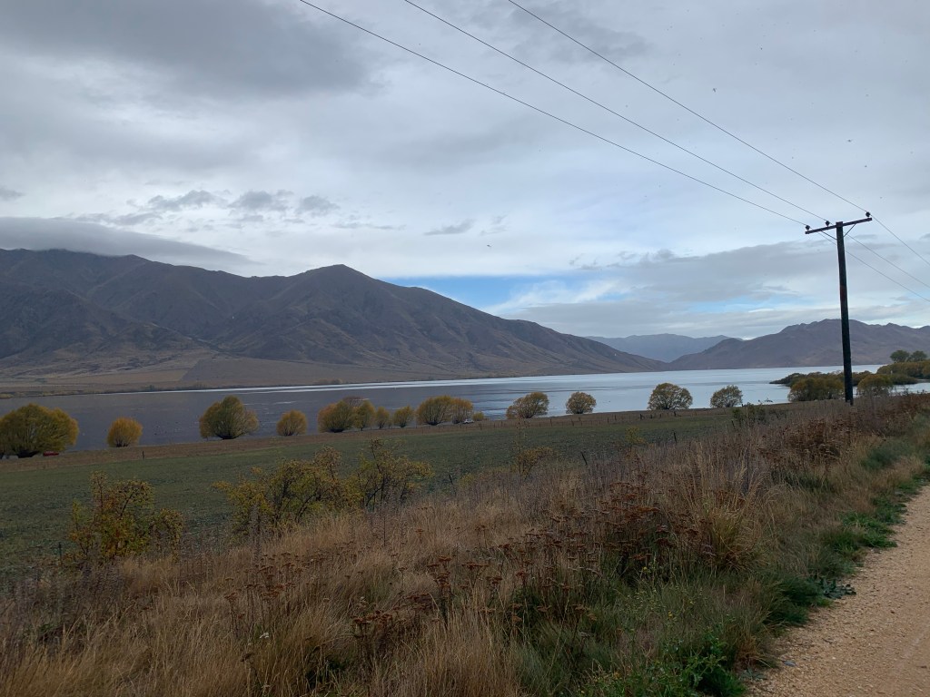
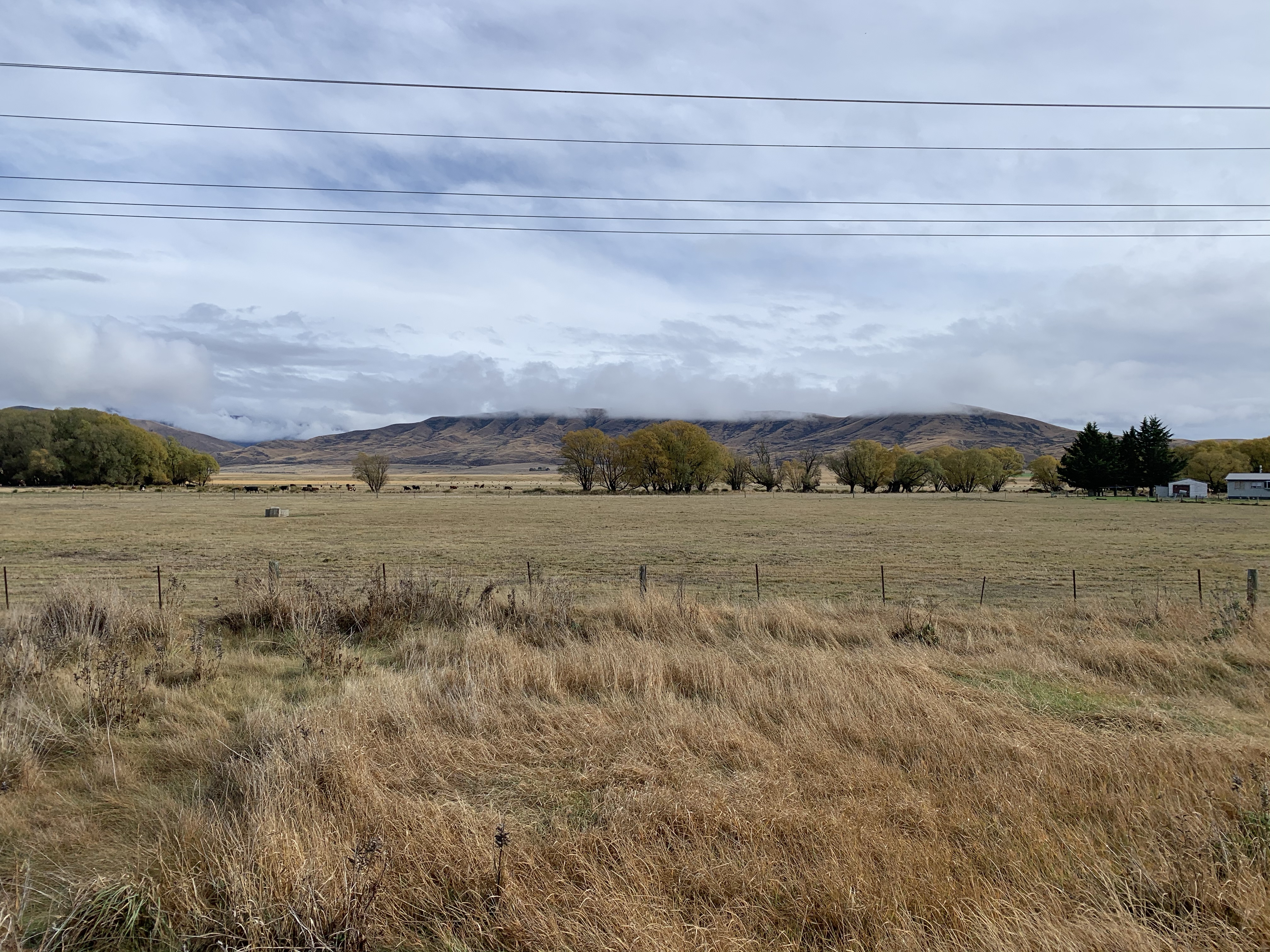
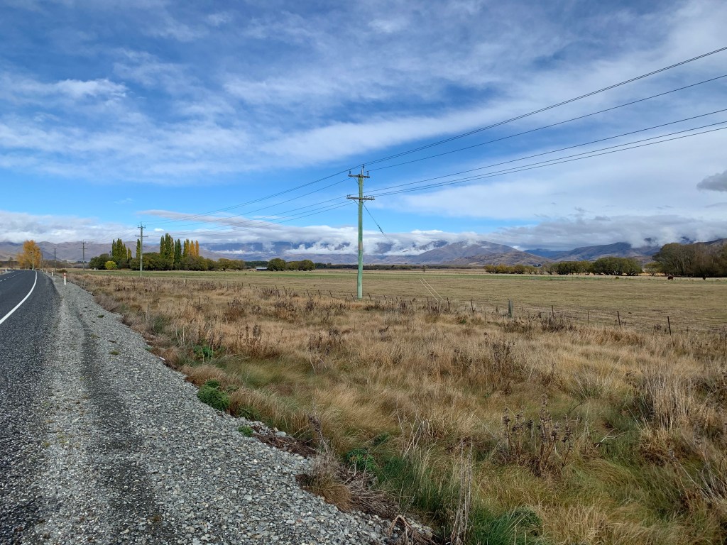
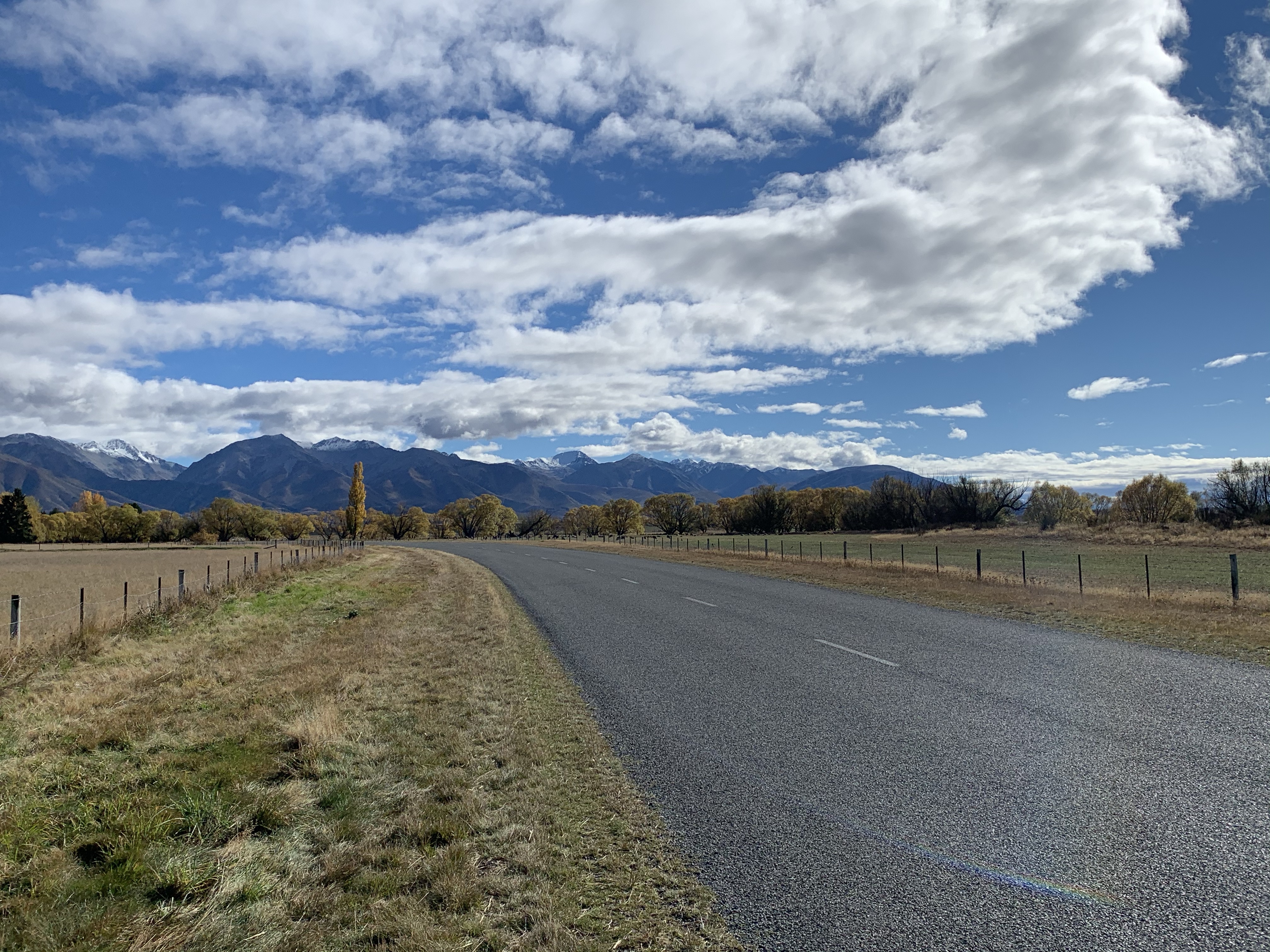
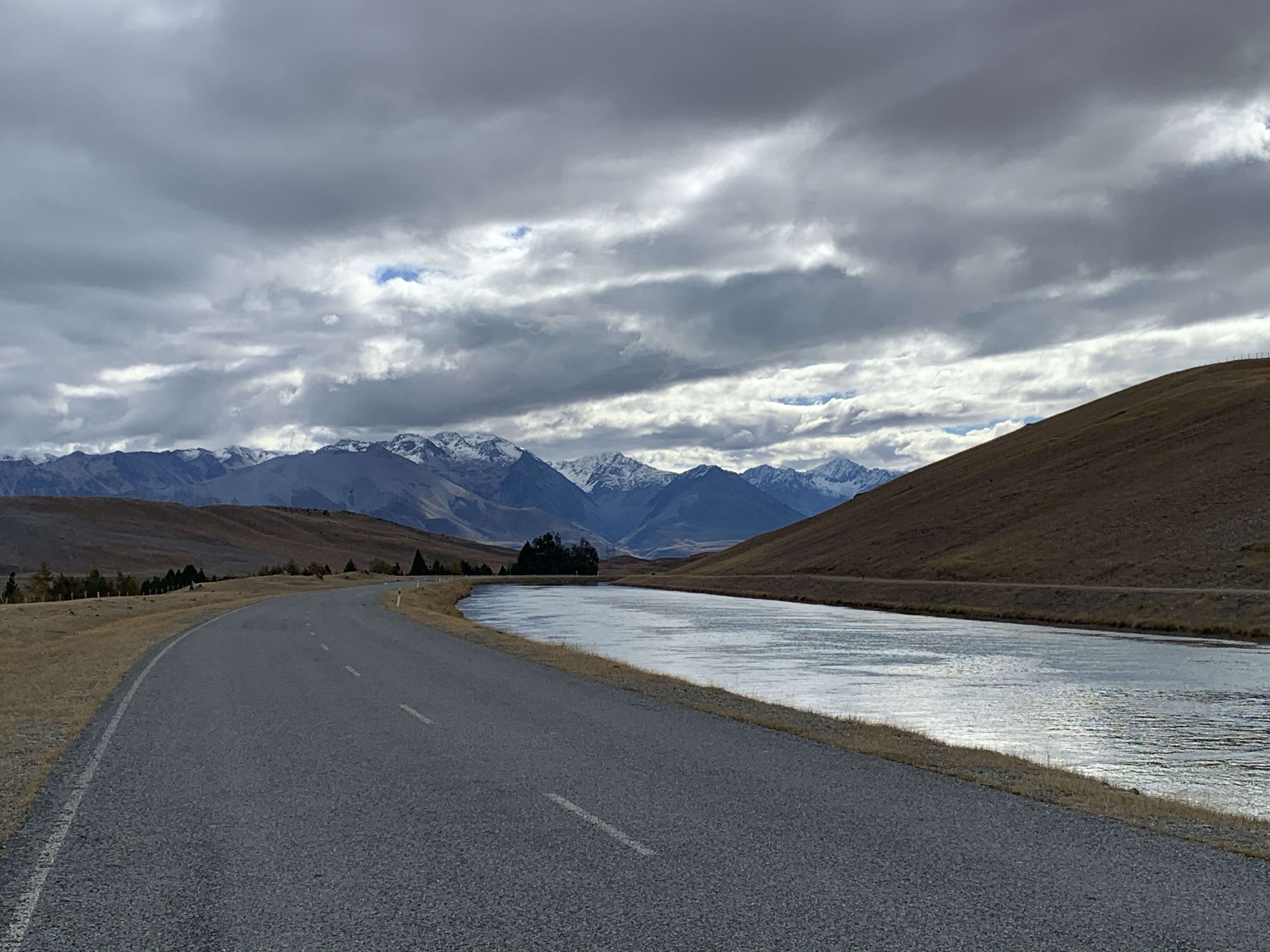
A short ride following the Waitaki River and looking out to the mountains on St Marys Range.
We stopped at the Takiroa Maori Rock Art.
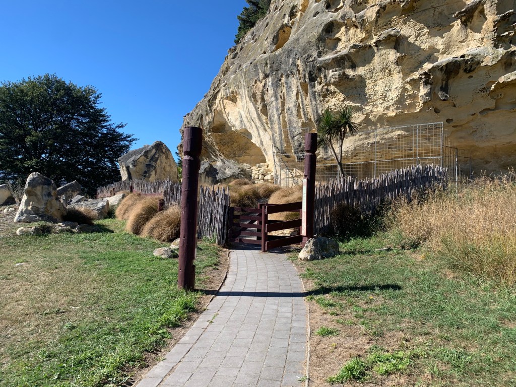
Red ochre and charcoal based mixtures were drawn on the limestone walls in both abstract curving patterns and everyday images of people and animals.
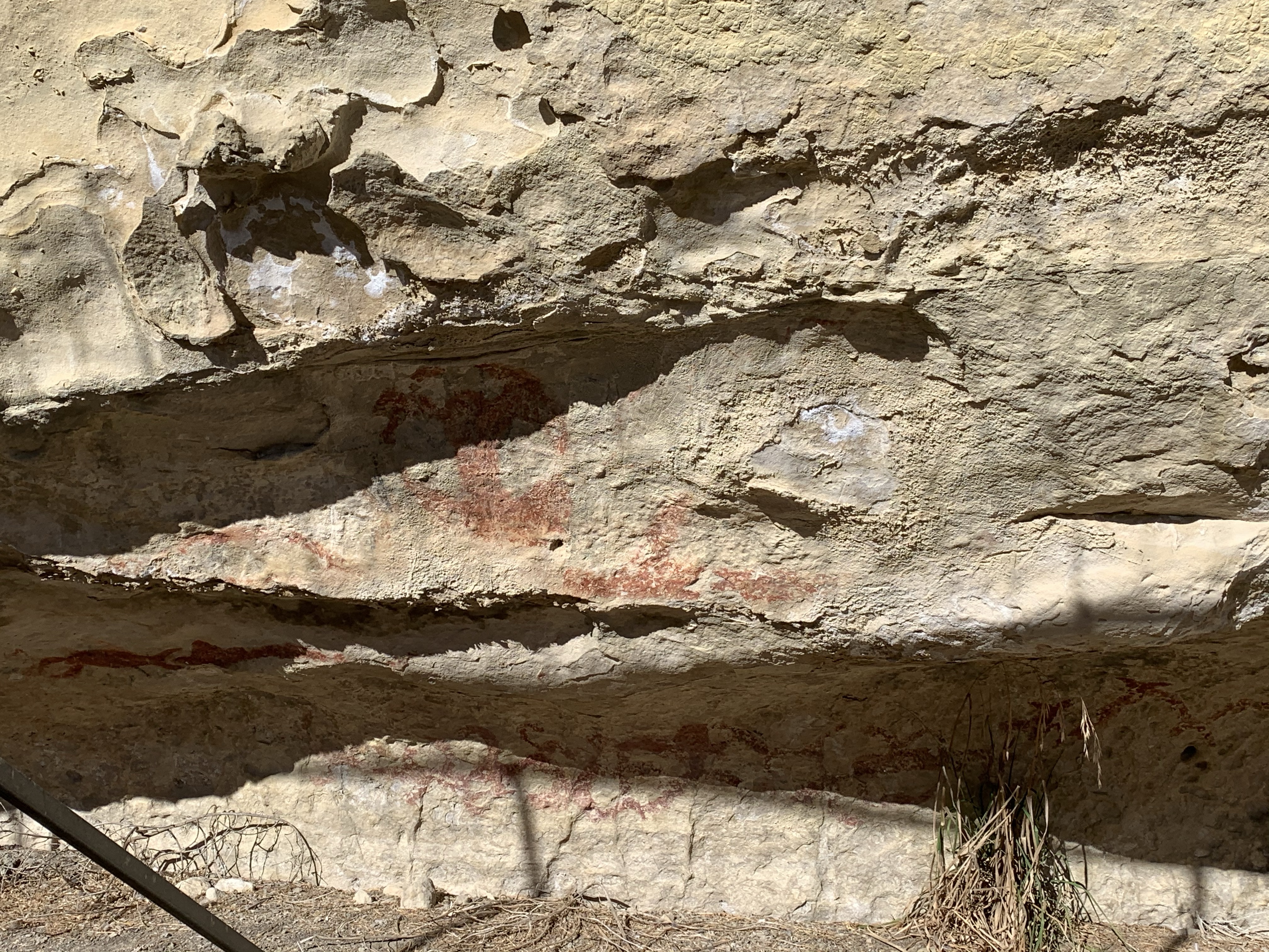
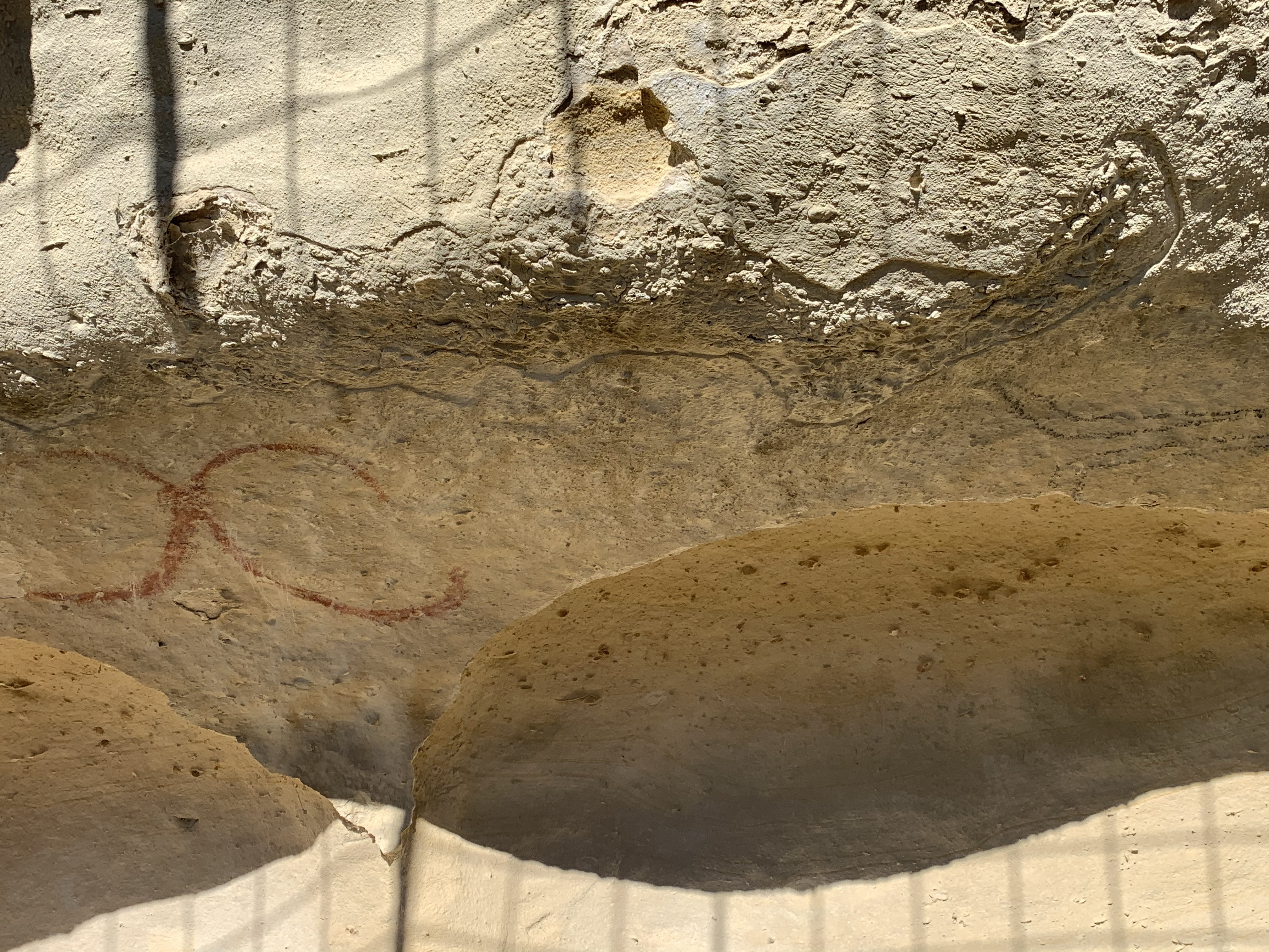
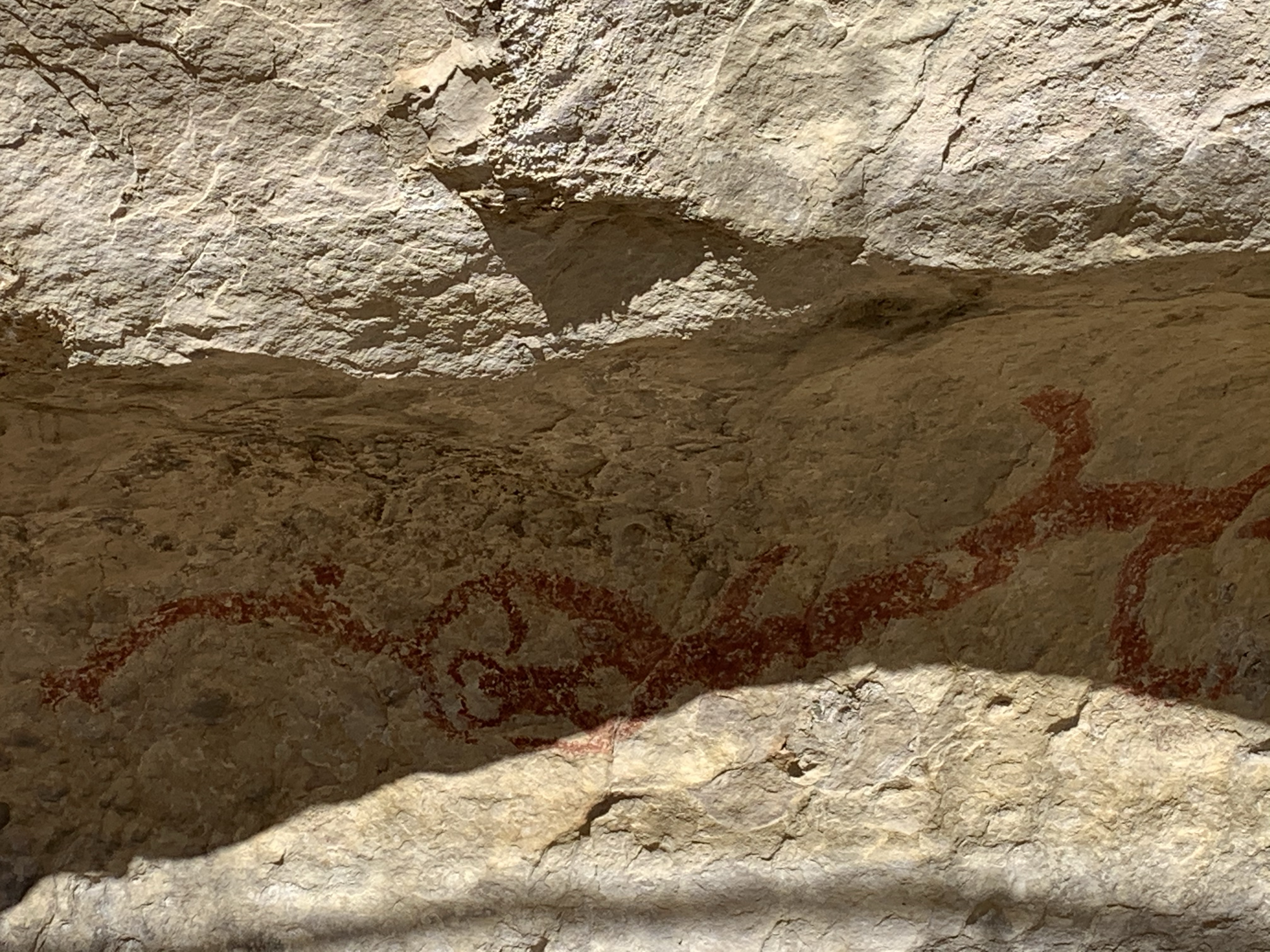
These drawings are a taonga, a treasure, in this area providing a tangible link with its earliest inhabitants. Noone is sure who created these images or when; 19th Century Ngai Tahu were unaware of their provenance and age – although the presence of moa bones and those from an extinct species of quail indicate they were created earlier rather than later in human habitation of the area.
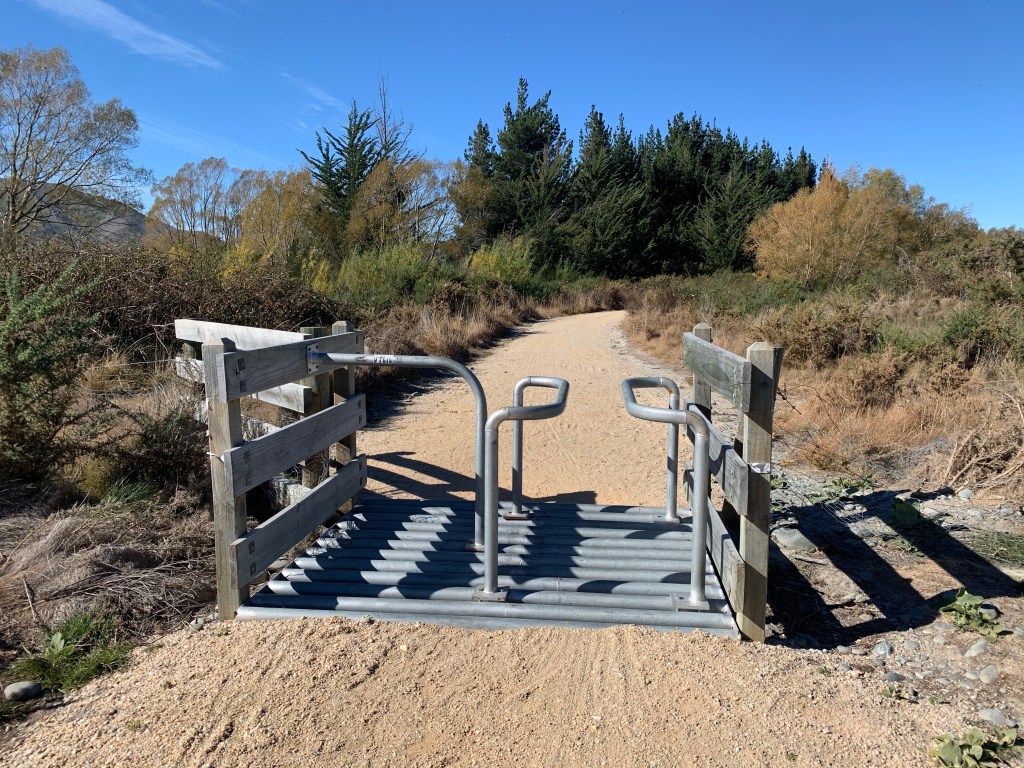
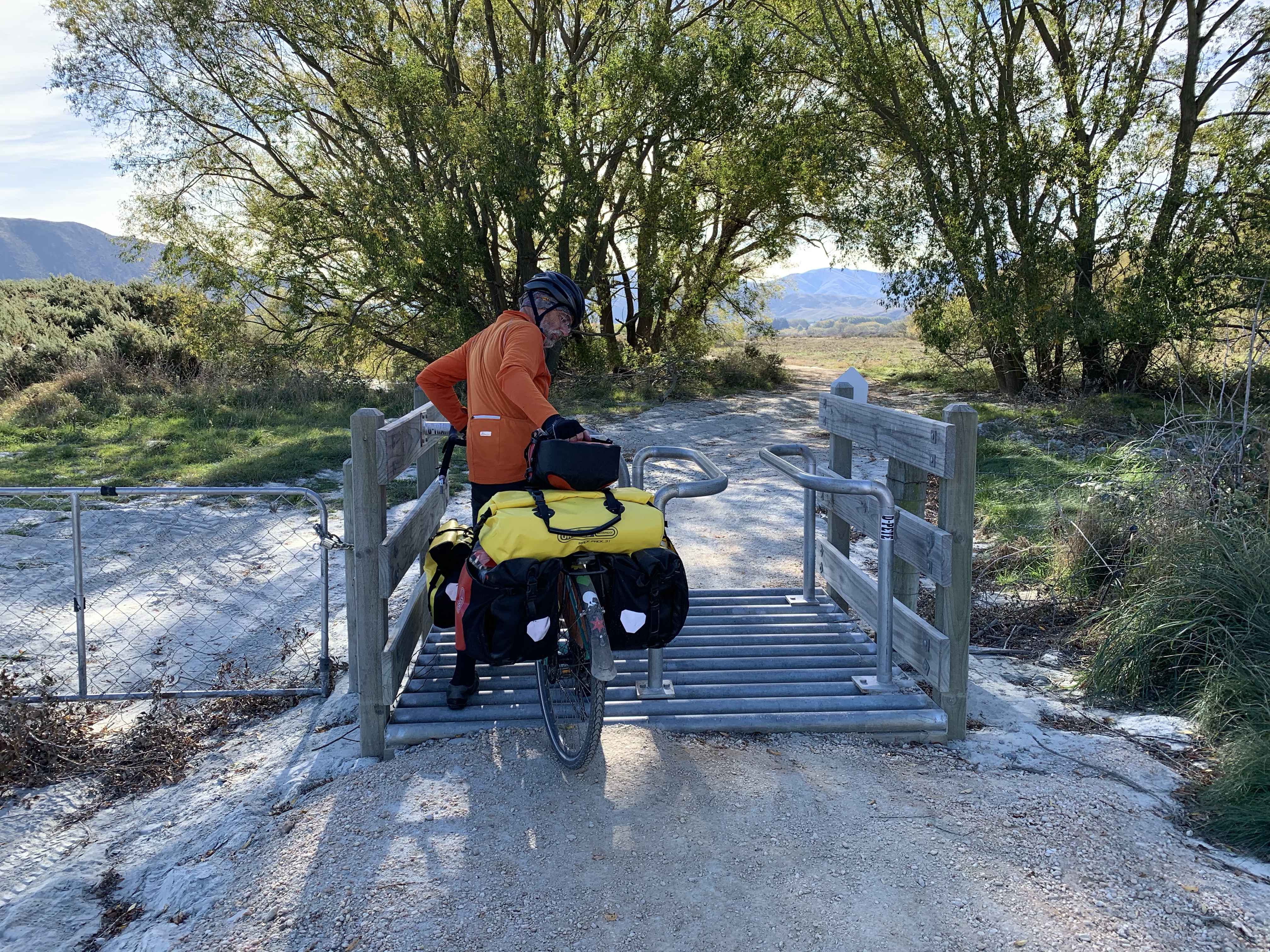
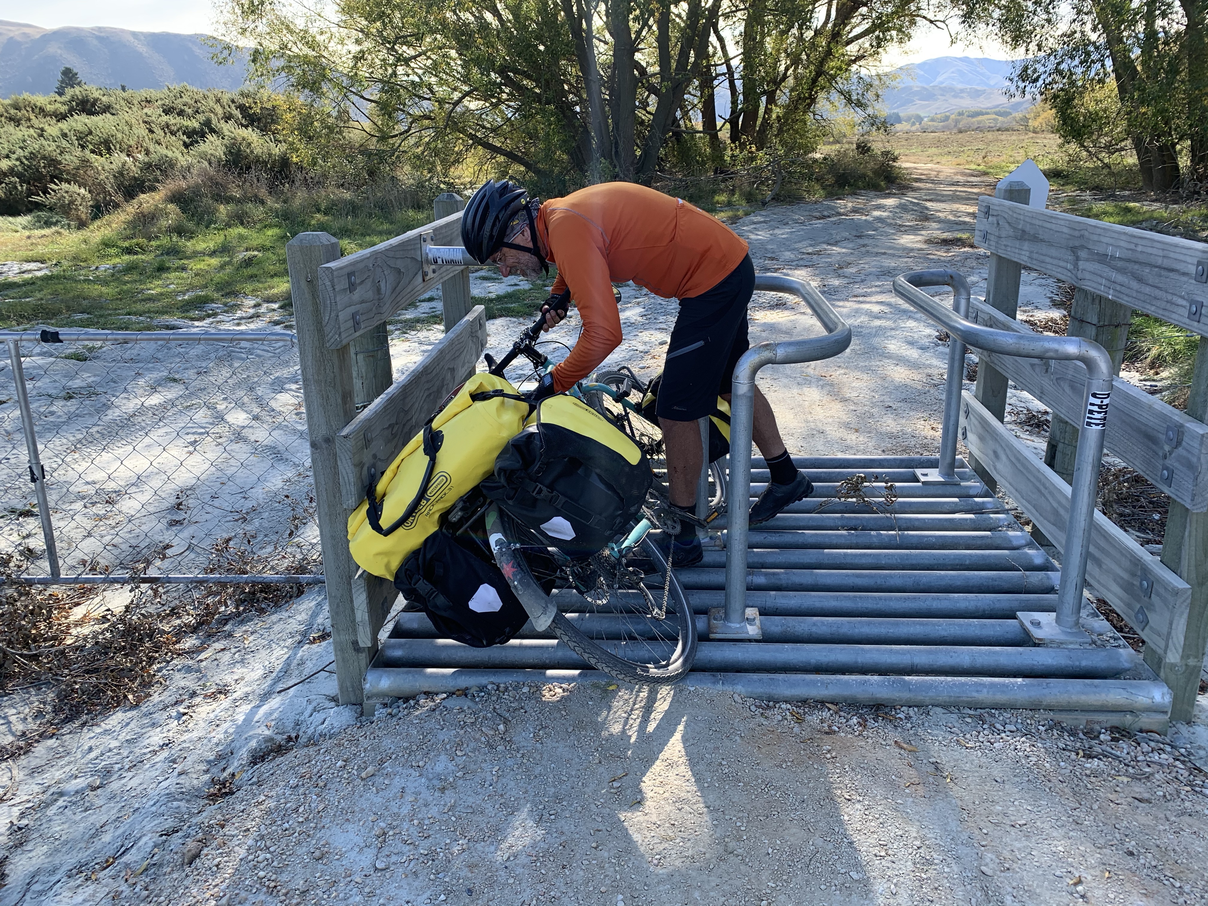
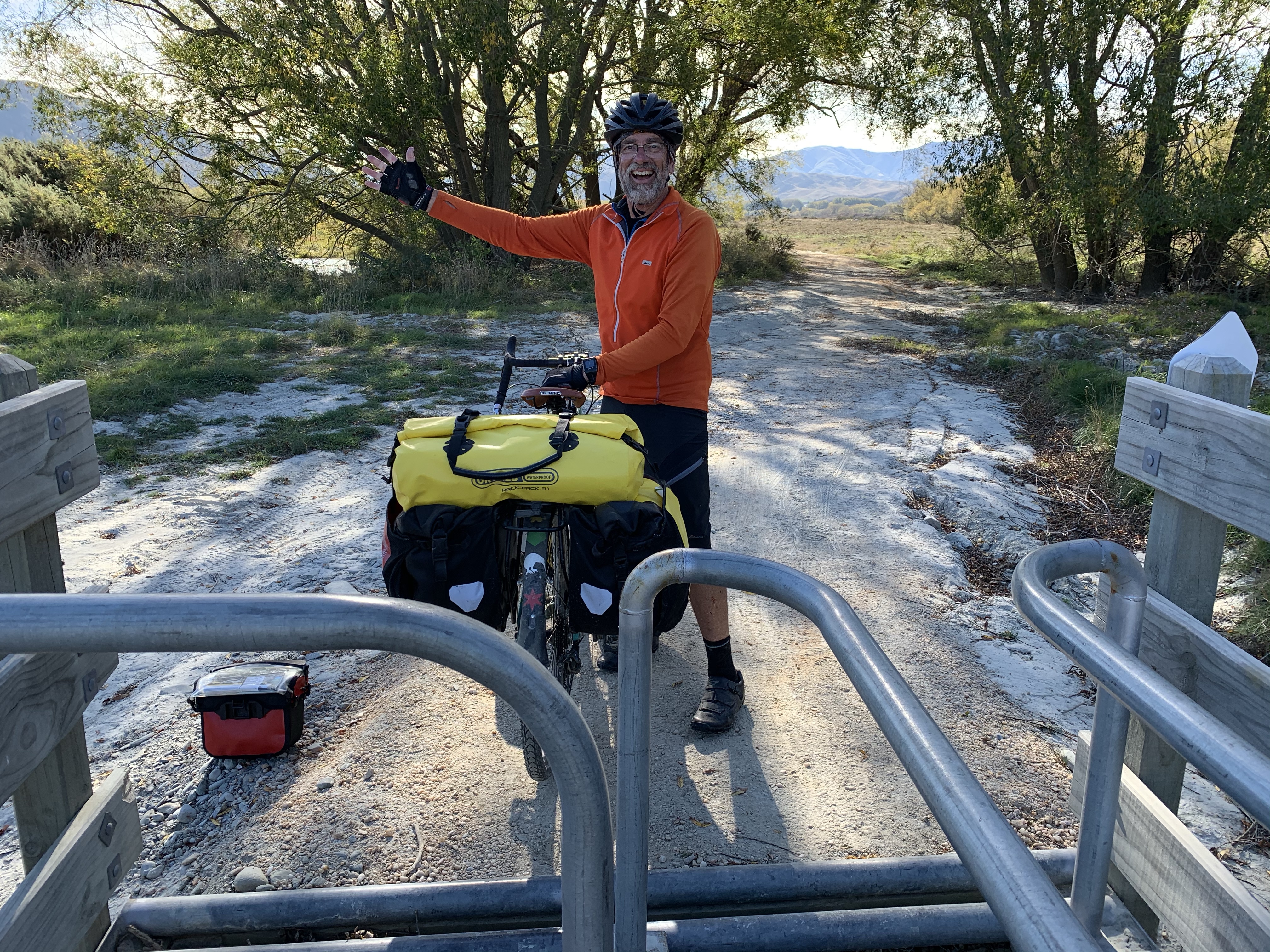
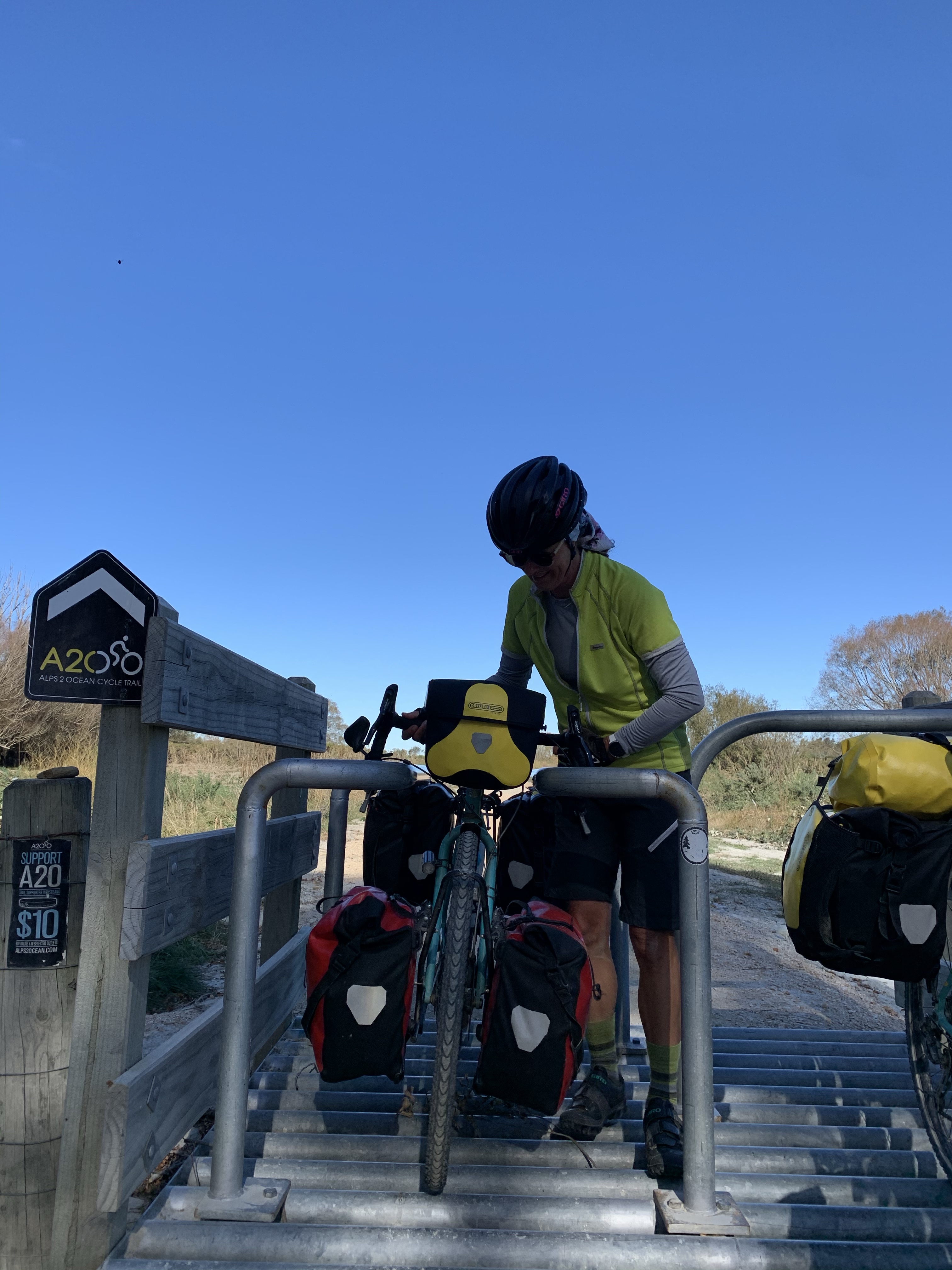
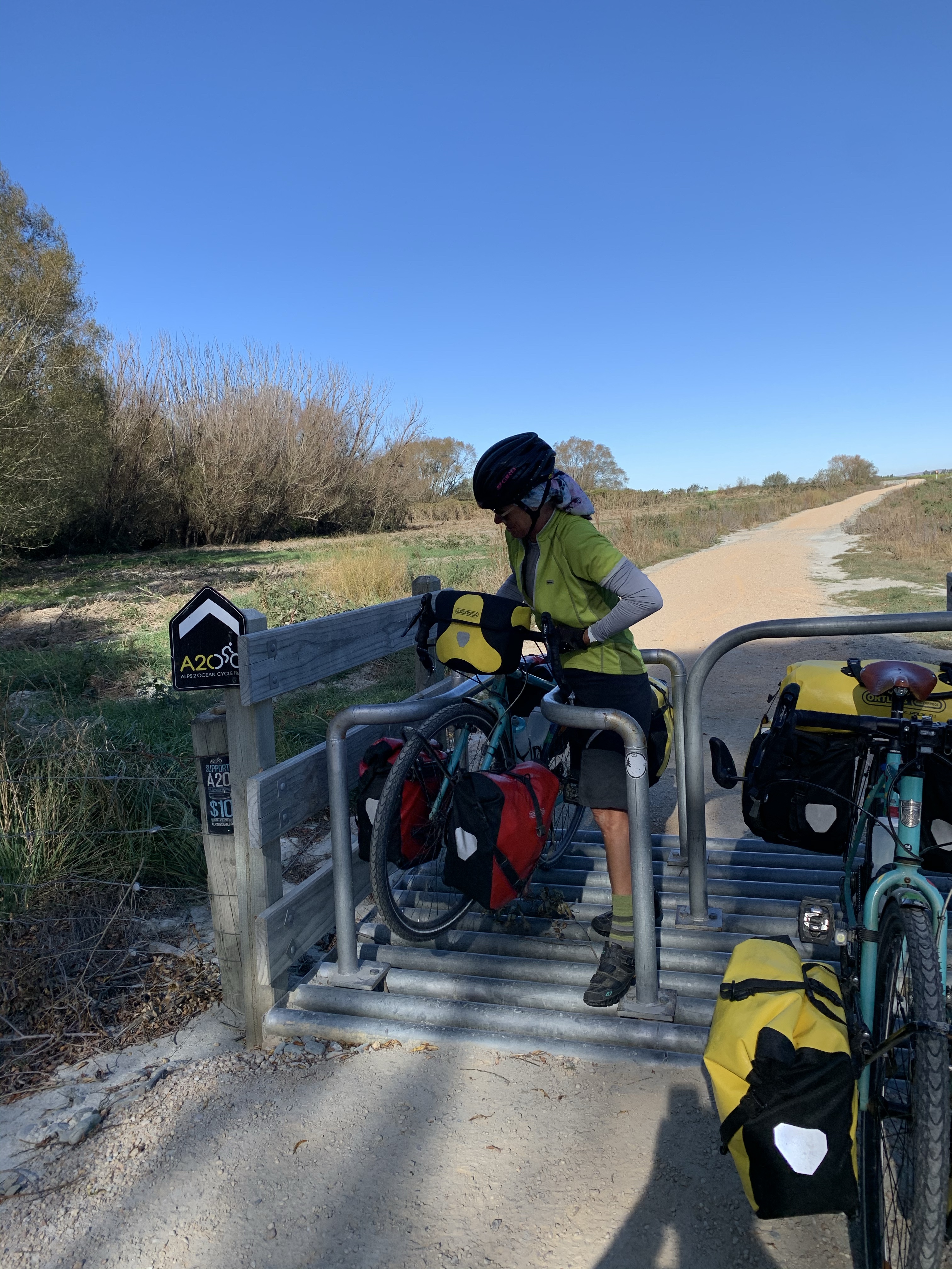
Definitely more recently created are the trail barriers to livestock, motorcycles and, as it turns out, cycle-tourists. Not sure that the creators of the trail have ever ridden it with a fully loaded bike as the barriers are definitely not cycle-touring friendly.
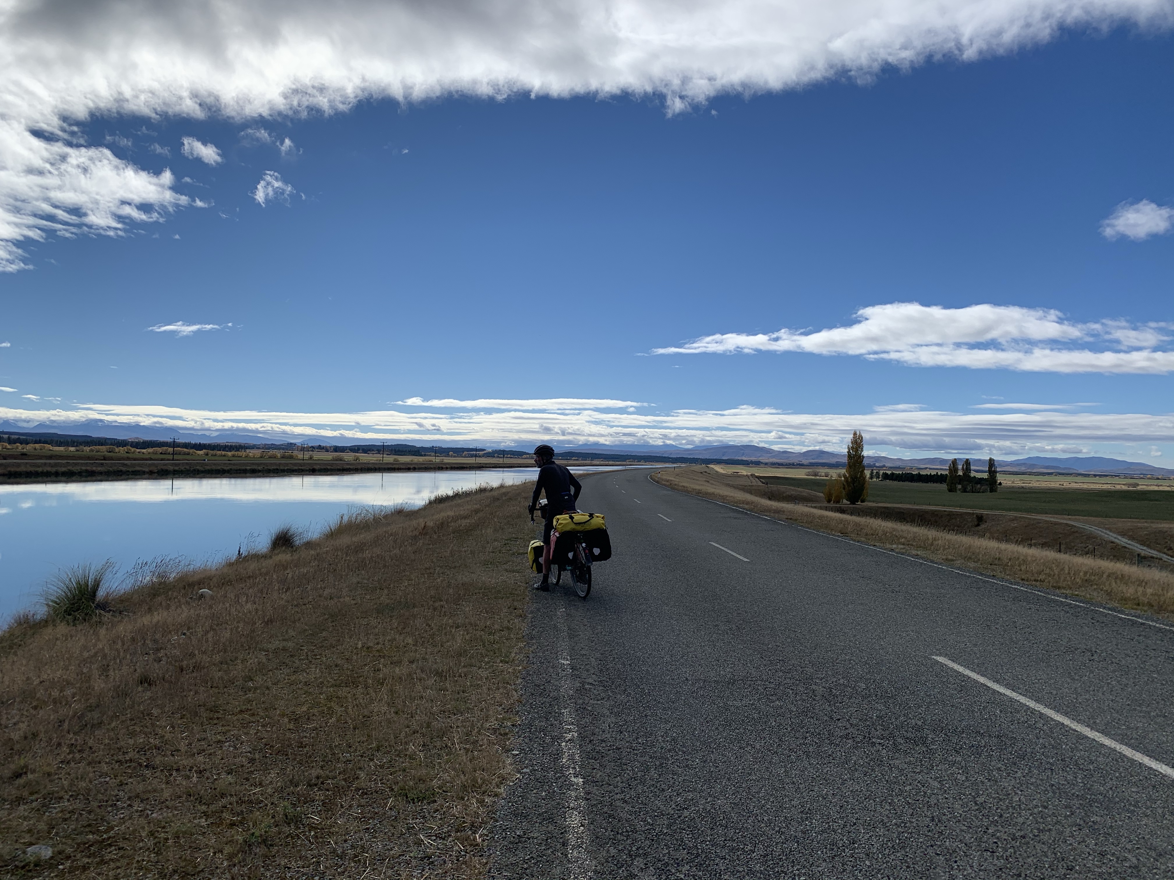
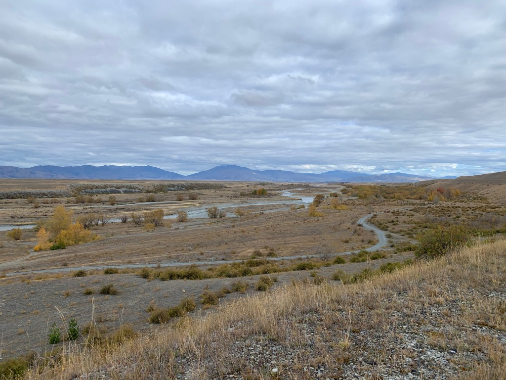
The flat ride took alongside the road with stunning ranges to look out upon coming back to the Waitaki River with the occasional rocky patch to cross.
But the barriers did provide a great deal of entertainment the second time we came across them. Greg makes it look easy . . .
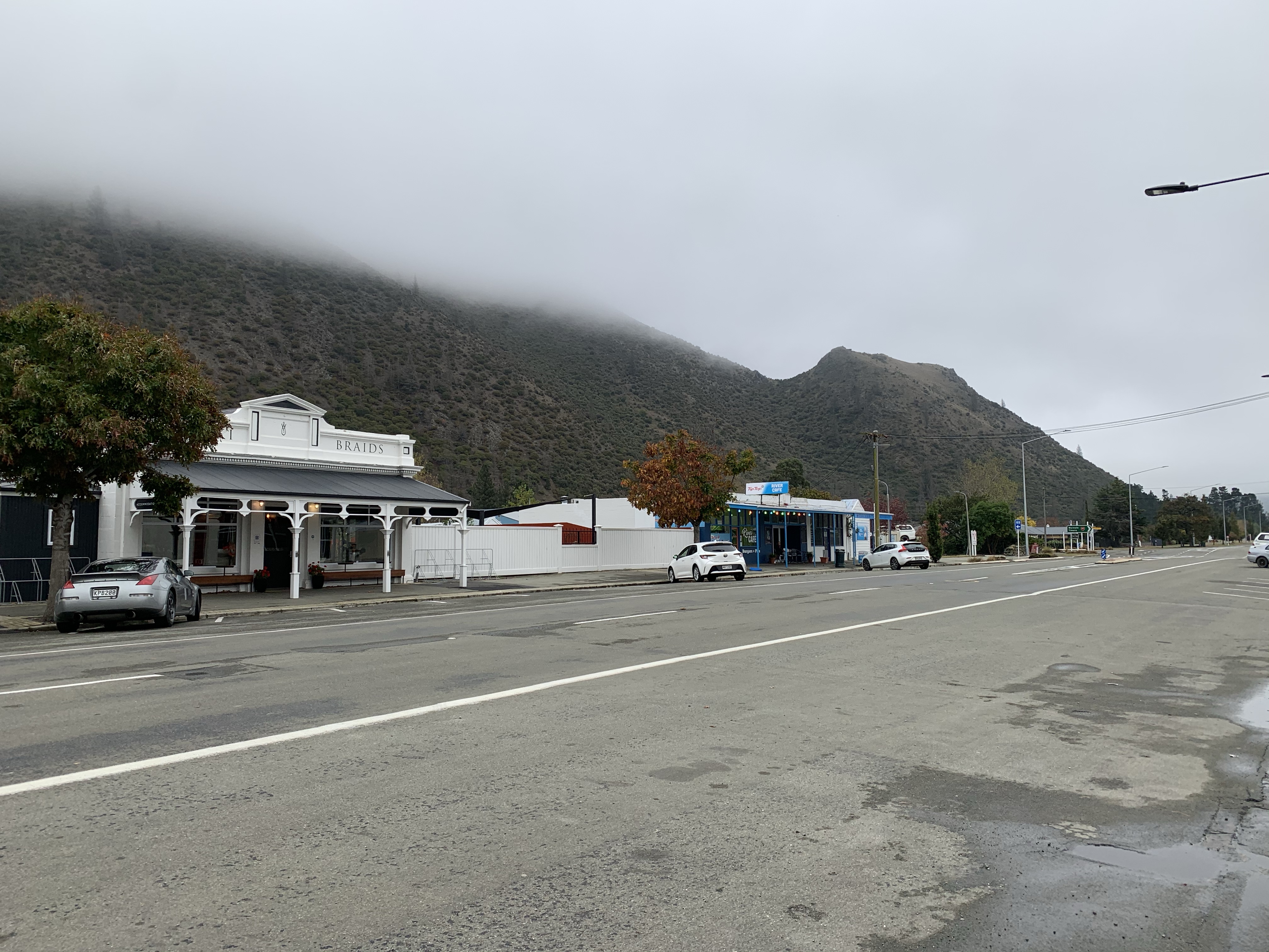
Kurow, a delightful small town & birthplace, Greg was delighted to discover, of NZ’s ground-breaking social security system. This brainchild of the local school master, presbyterian minister and doctor, who came to be known as the Three Wise Men, is celebrated at the very interesting Kurow Museum.
The Waitaki hydro-electric dam was built during the Great Depression by around 1200 workers; times were tough, money was tight & sickness a problem. The three men, A M Davidson, Arnold Nordmeyer and Dr David McMillan, devised a scheme whereby a small amount would be taken from everyone on the dam work-site each week and used to maintain the health & wellbeing of all.
Nordmeyer & McMillan went on to become Labour members of Parliament and their Kurow experience informed the world-leading 1938 Social Security Act they enacted under Michael Joseph Savage’s leadership.
Apparently some visitors to the museum are less enthused about that particular history – bringing to mind a favourite quote from Herman Melville:
Of all the preposterous assumptions of humanity over humanity, nothing exceeds most of the criticisms made on the habits of the poor by the well-housed, well- warmed, and well-fed.
Herman Melville
The rain came overnight at Kurow so we decided to stay put for the day only to be generously given the use of Keith’s caravan while he went hunting for the week. How amazing is that!
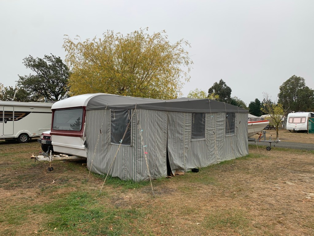
A caravan with a heater was pure luxury. We snuggled inside with our books, venturing up the road later as the rain cleared for coffee and cake.
With the rain gone and a good sleep in the caravan it was back on the trail to Benmore.
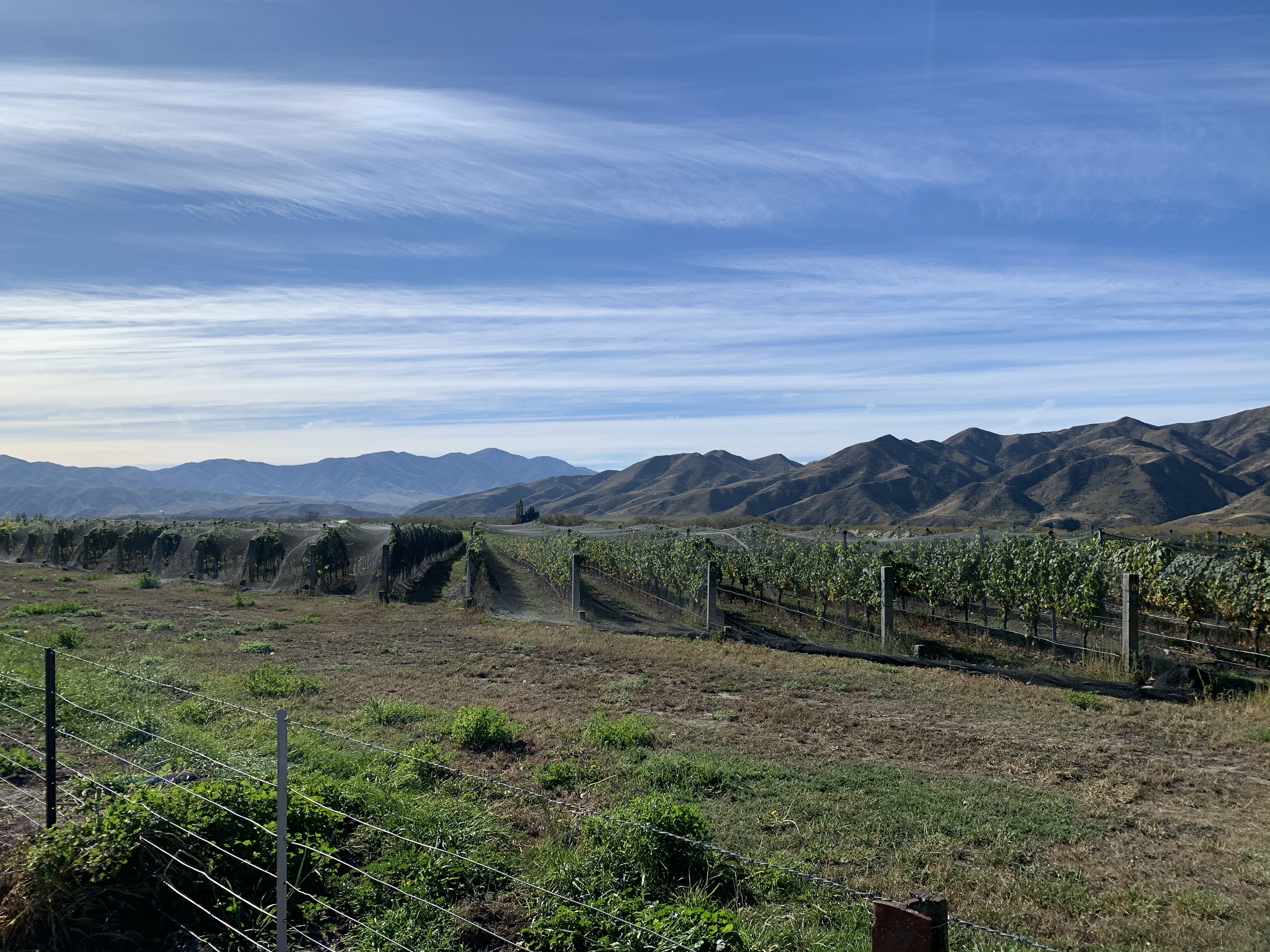
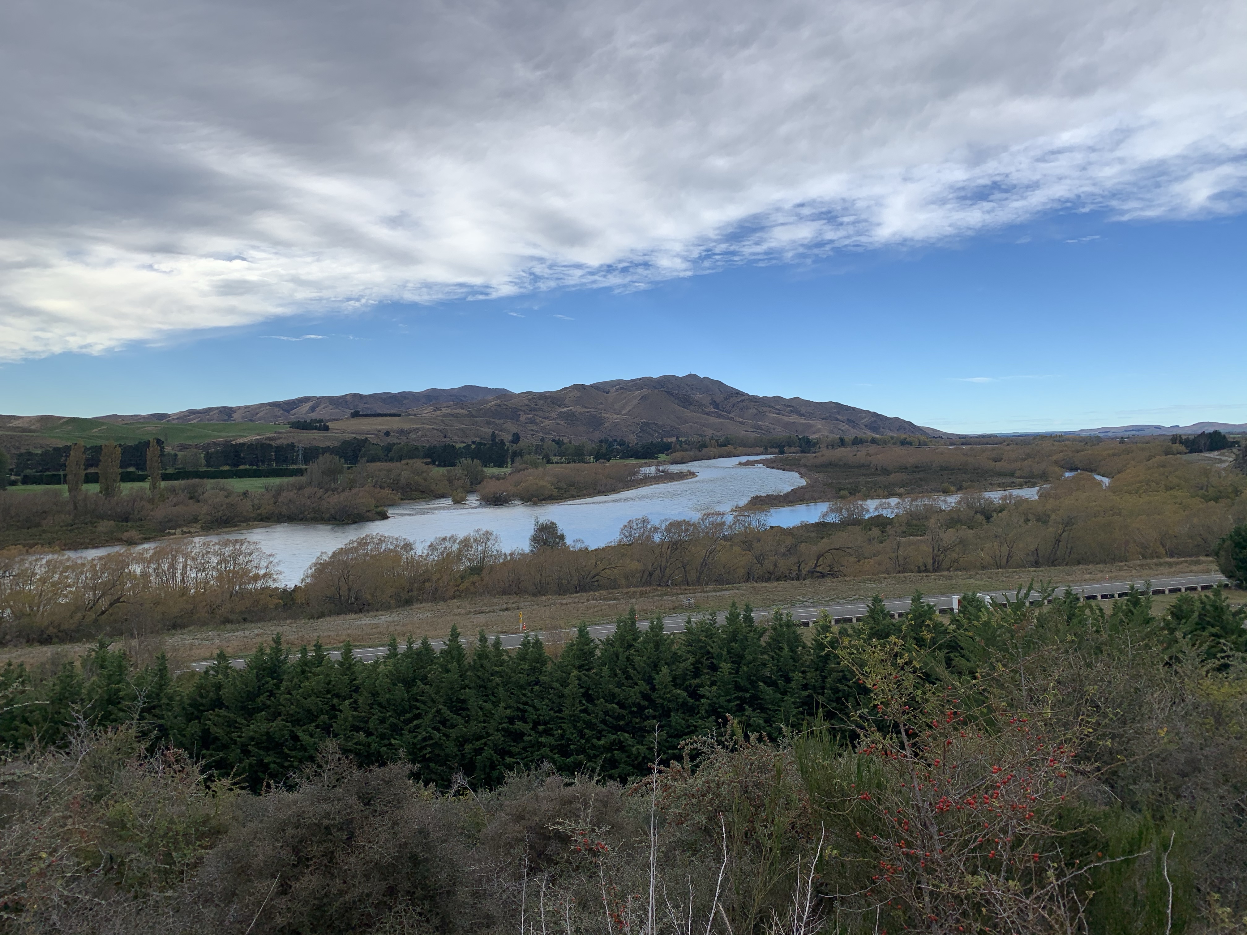
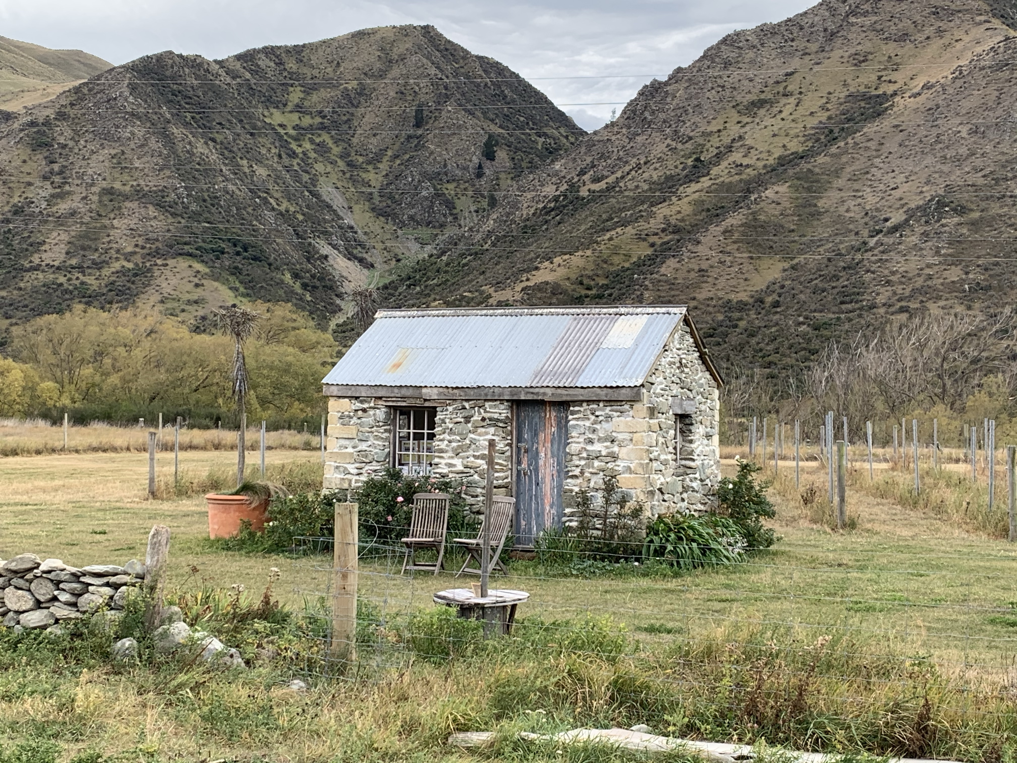
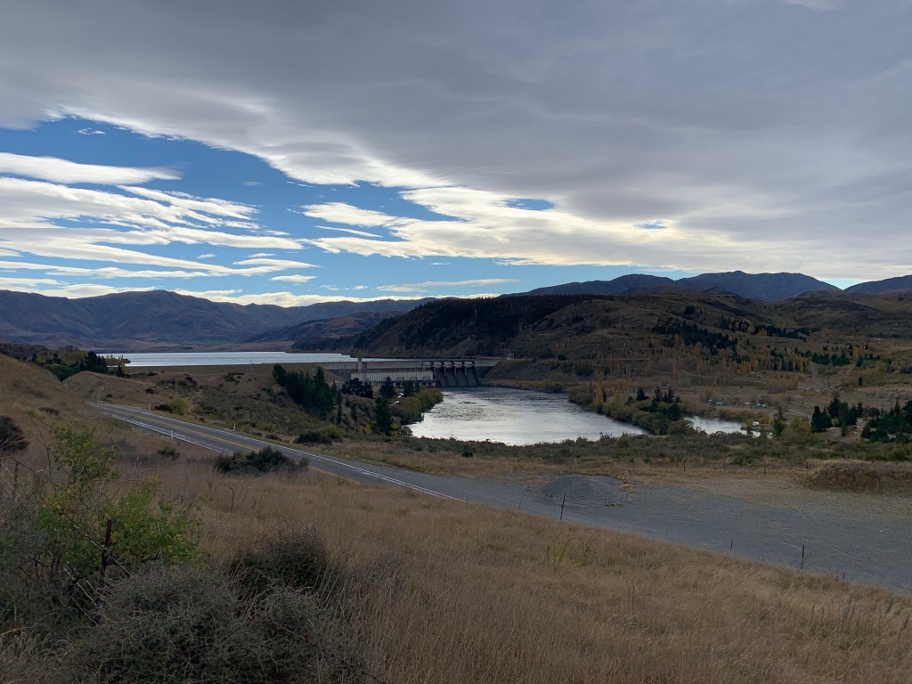
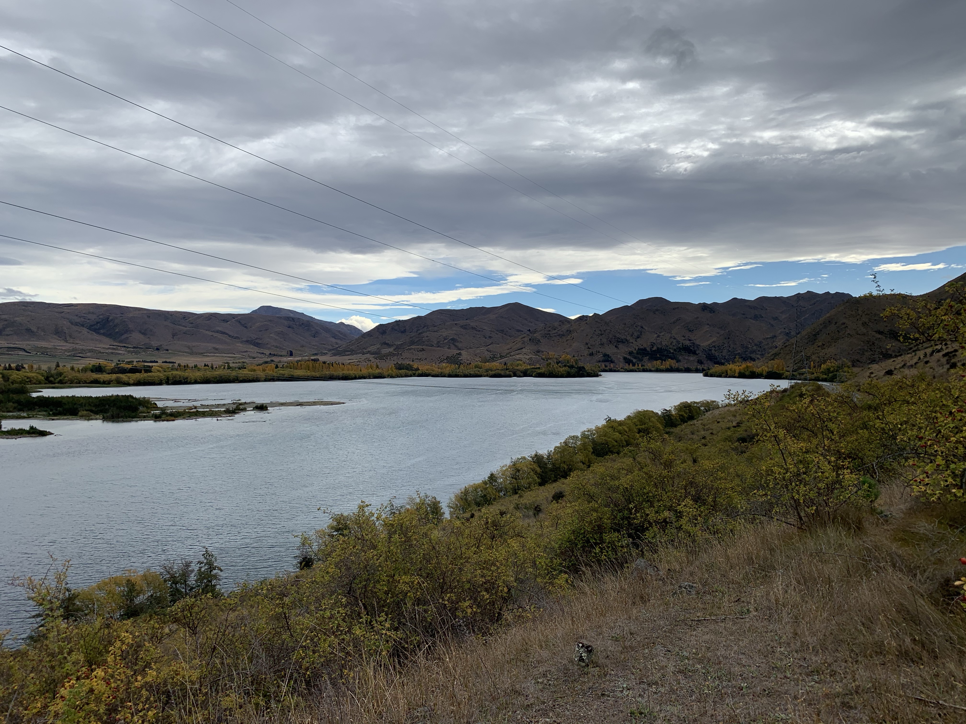
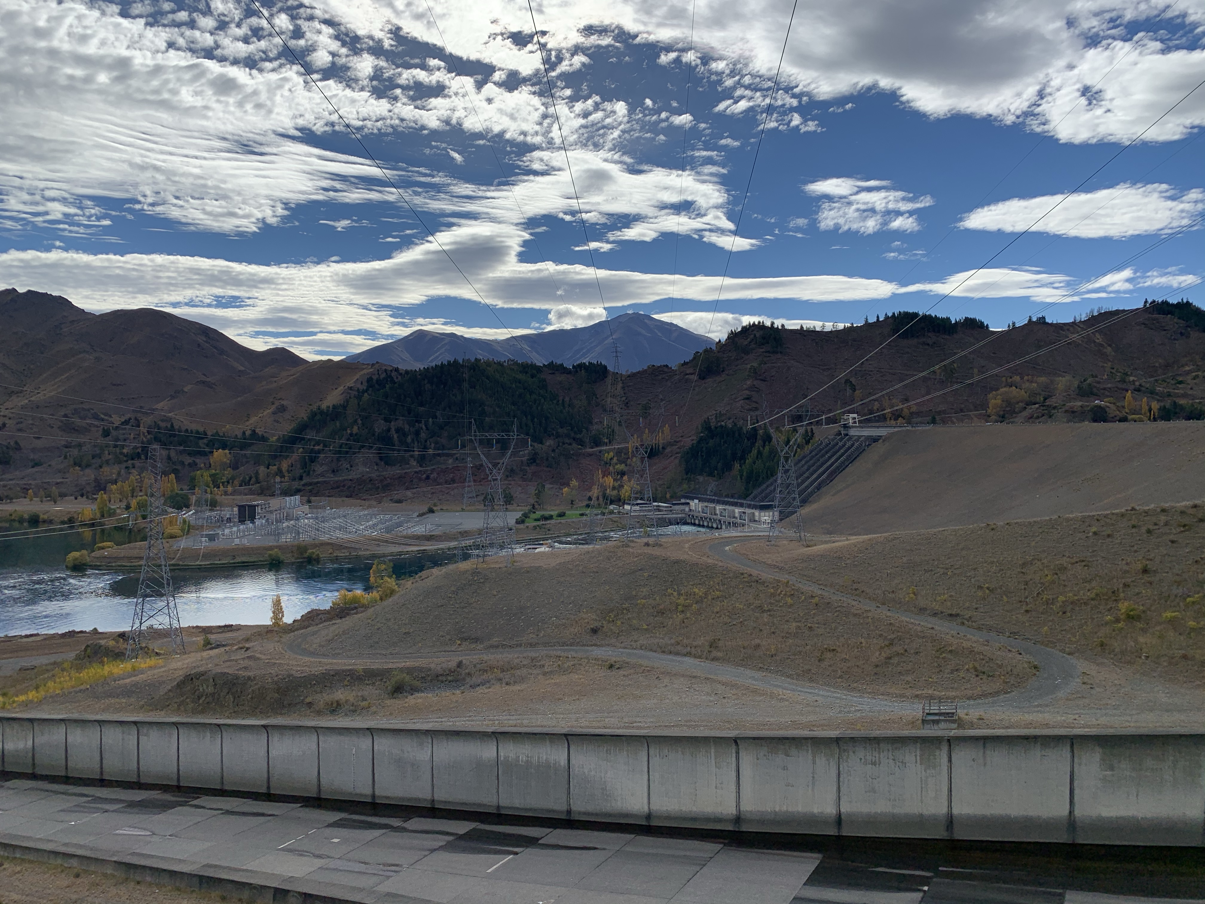
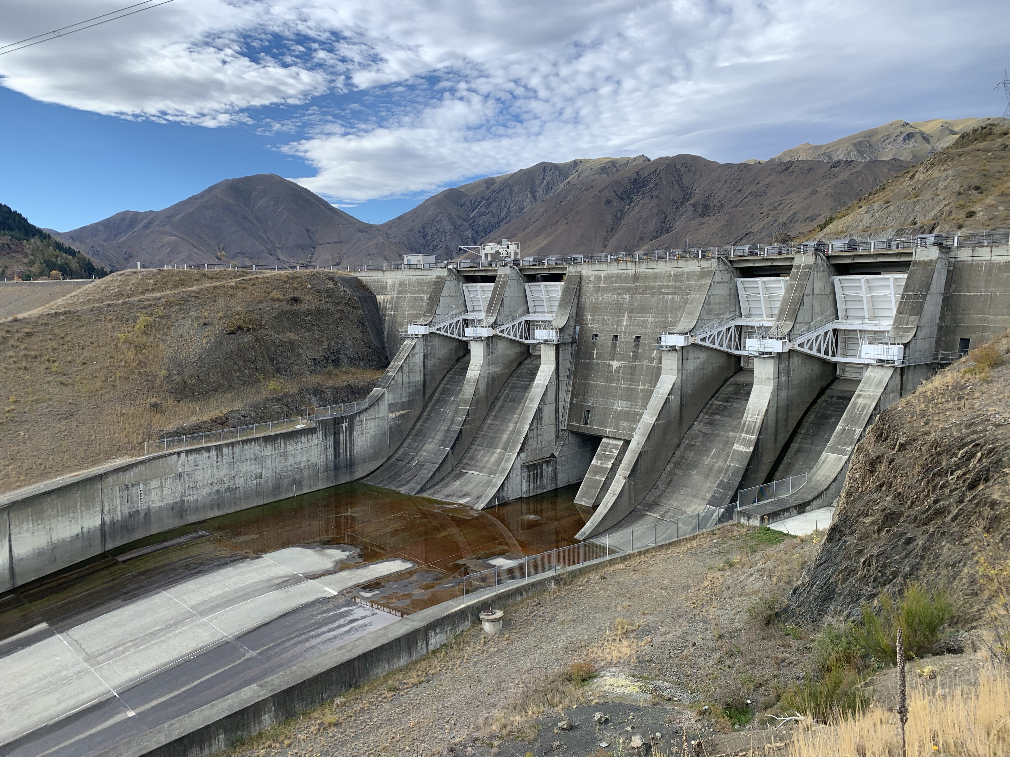
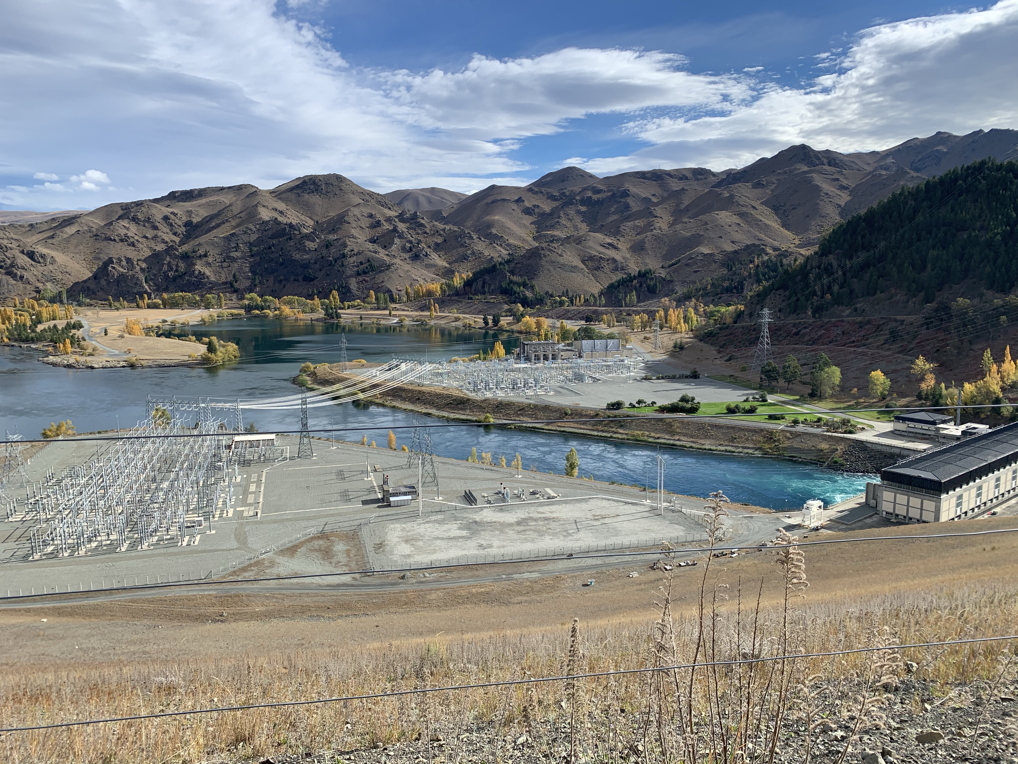
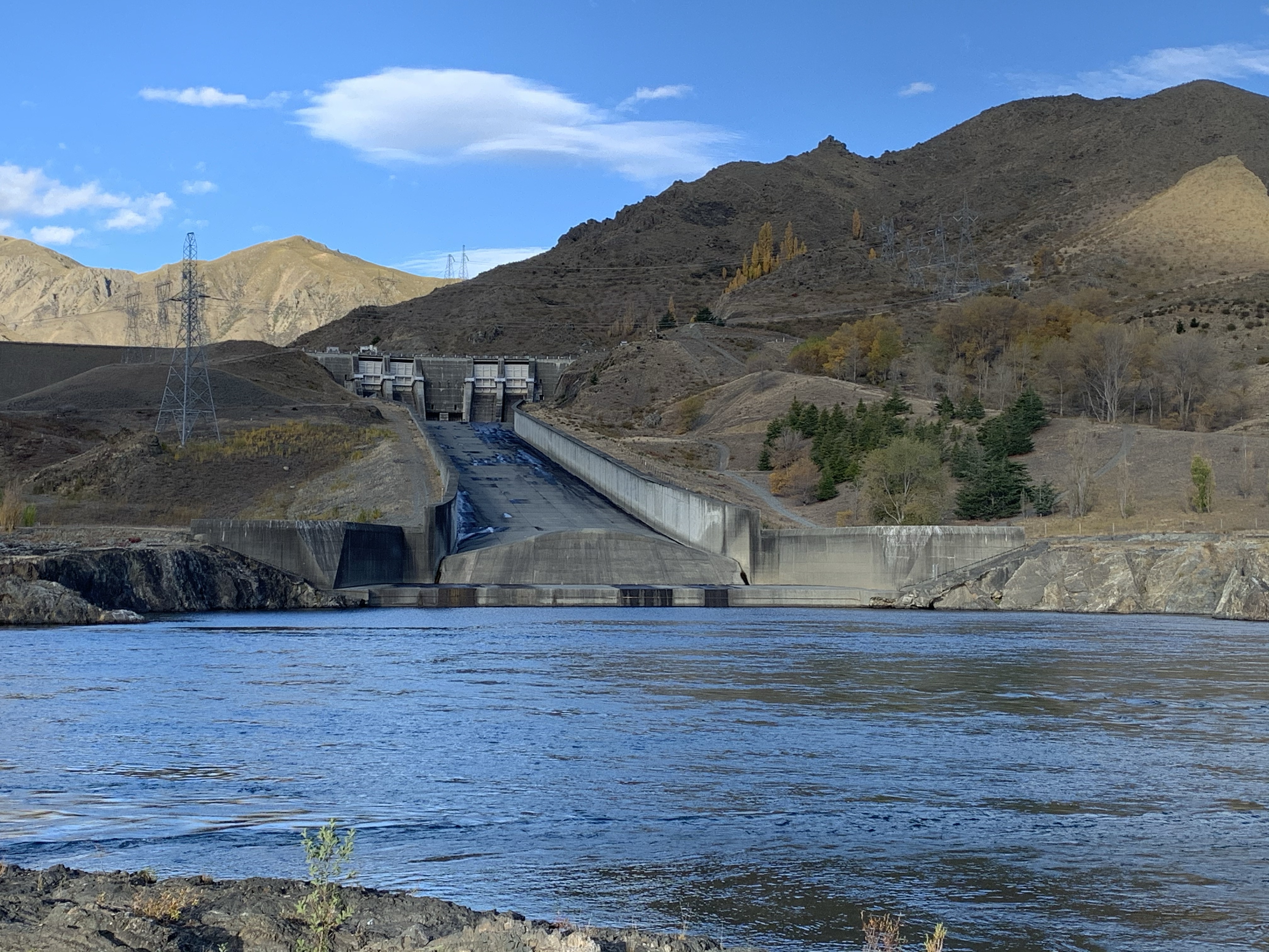
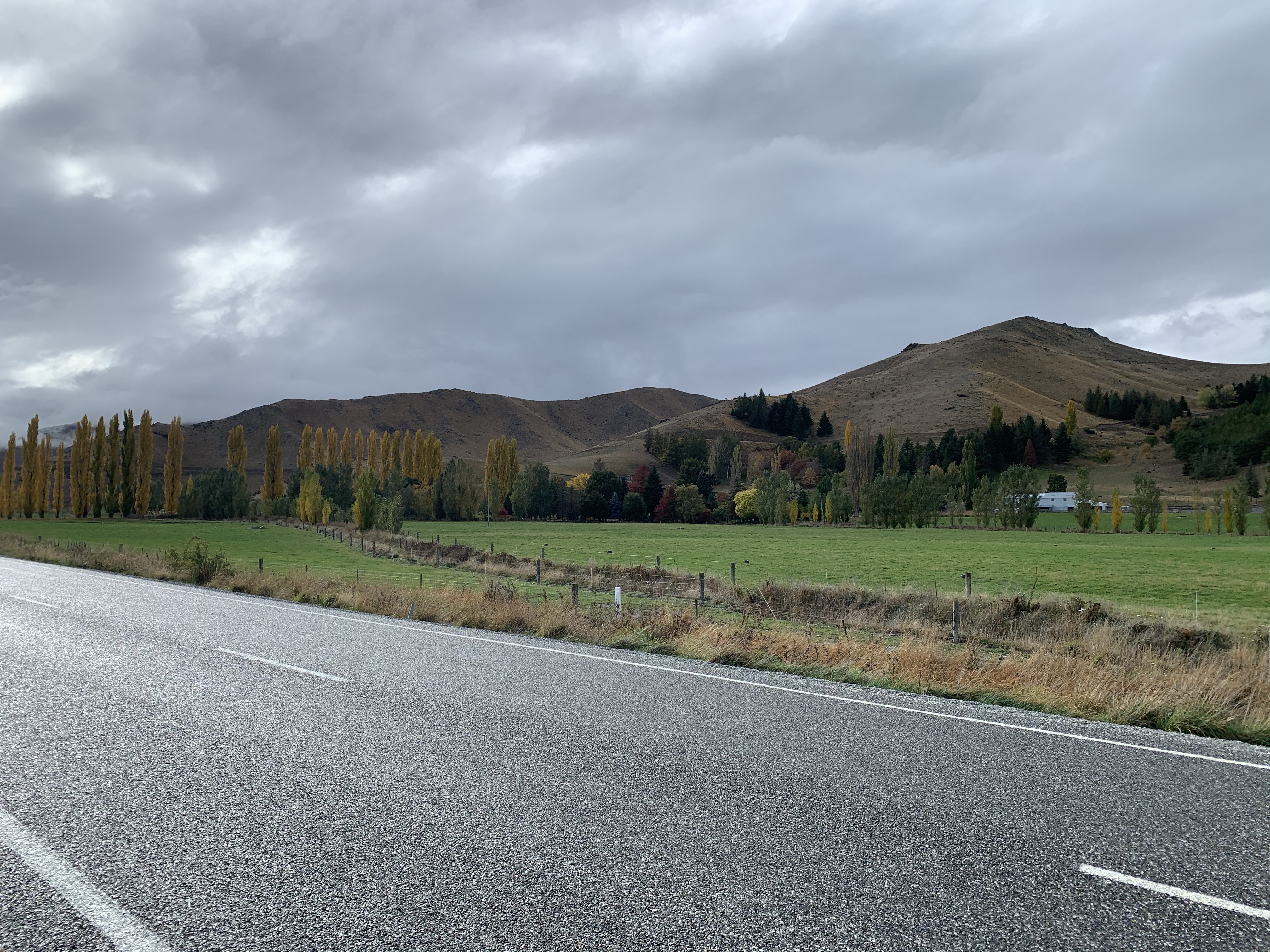
Leaving Kurow we headed uphill for w great view back over the Waitaki River, passing a cute cottage on the Bobbing Creek vineyard, and then onto the the Waitaki Dam.
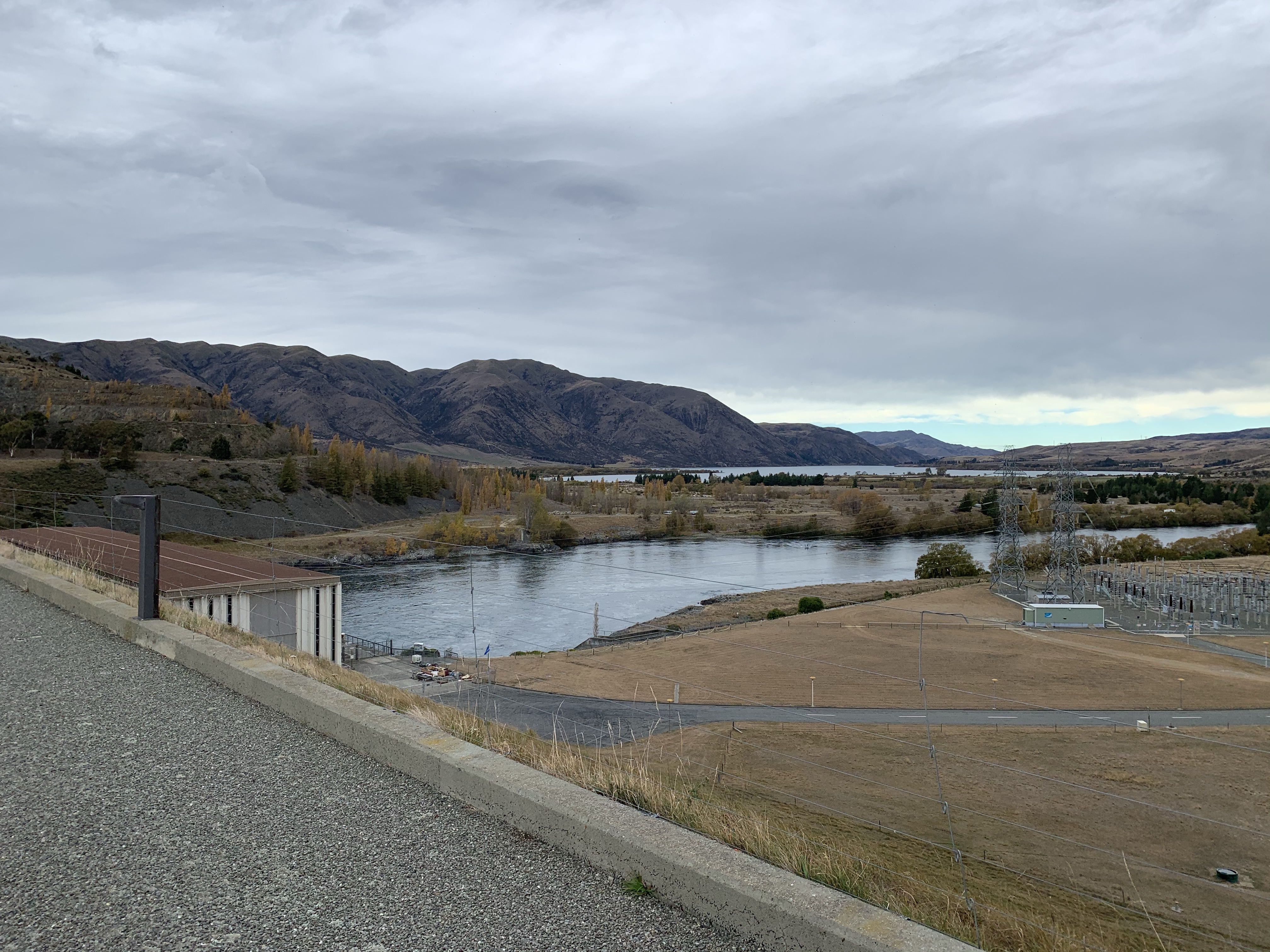
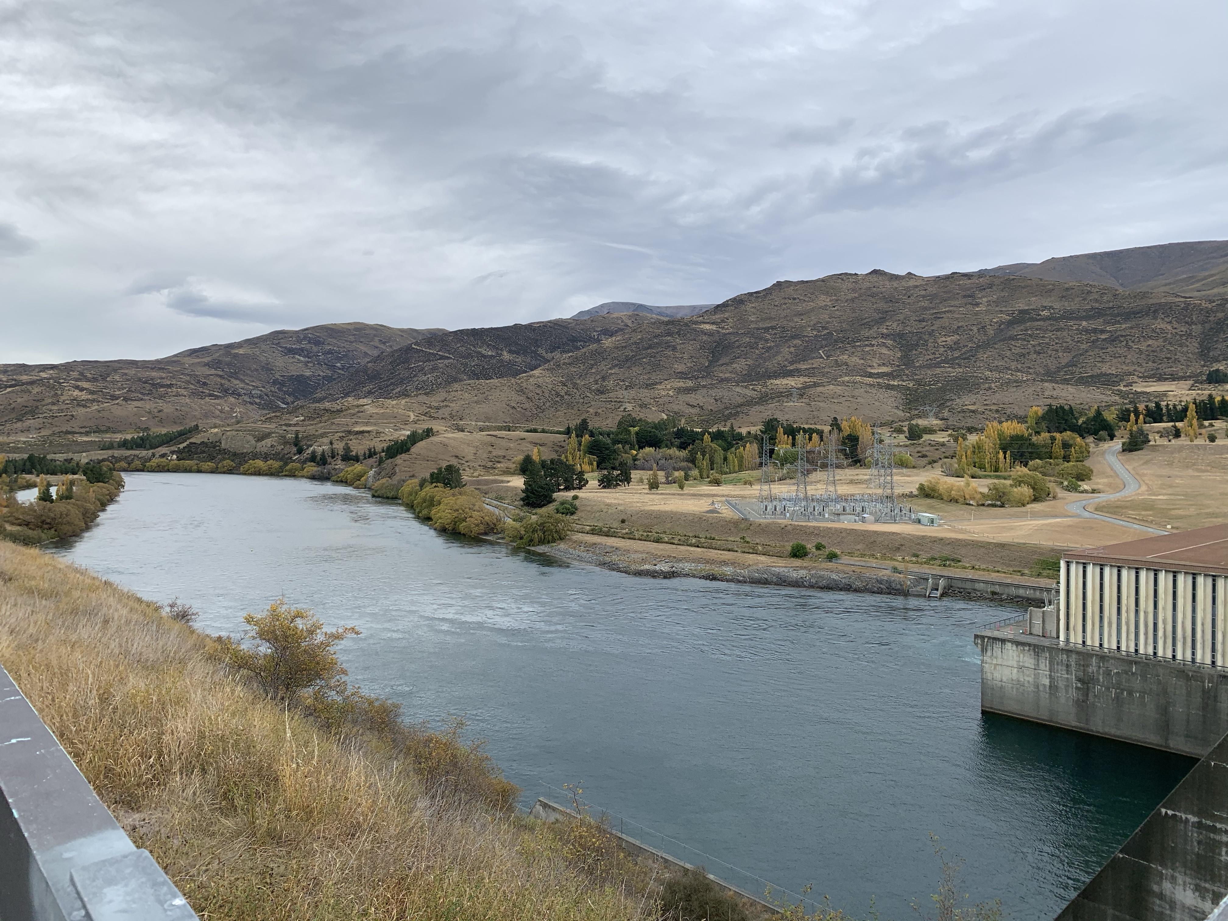
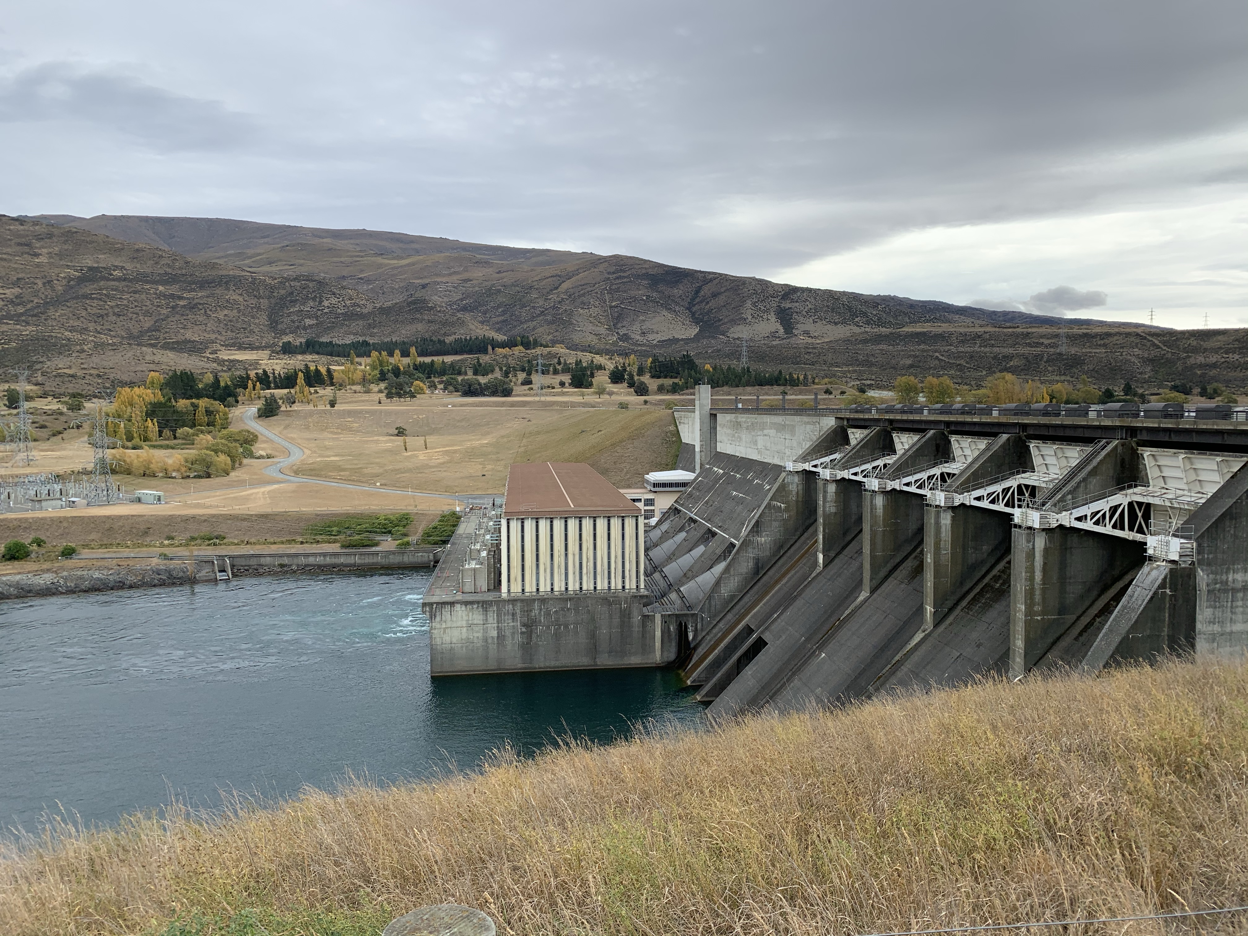
The Waitaki Dam, openined in 1934, was the first of eight power stations to be built on the Waitaki River, and the first dam to be built without diverting the river’s natural flow.
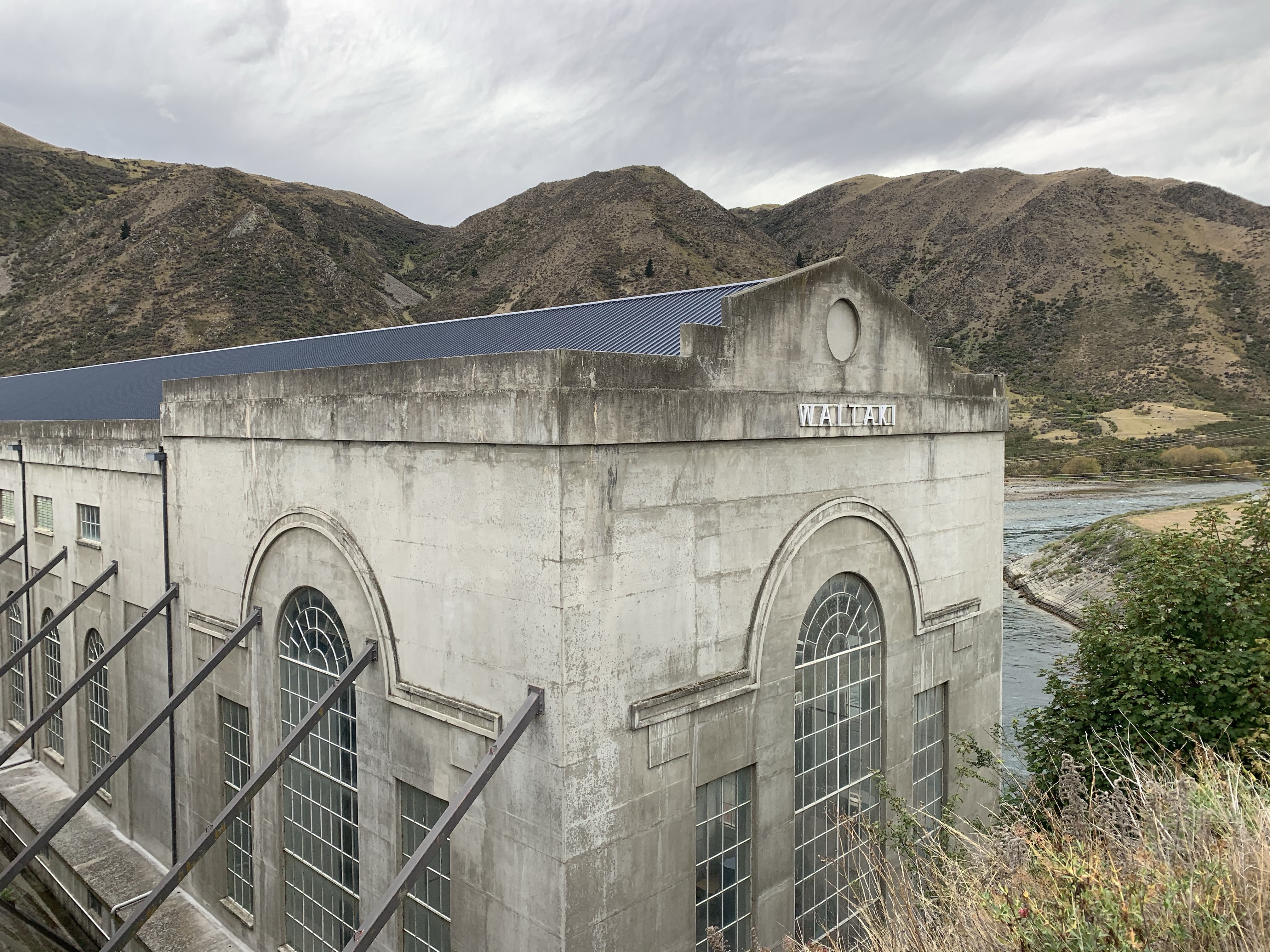
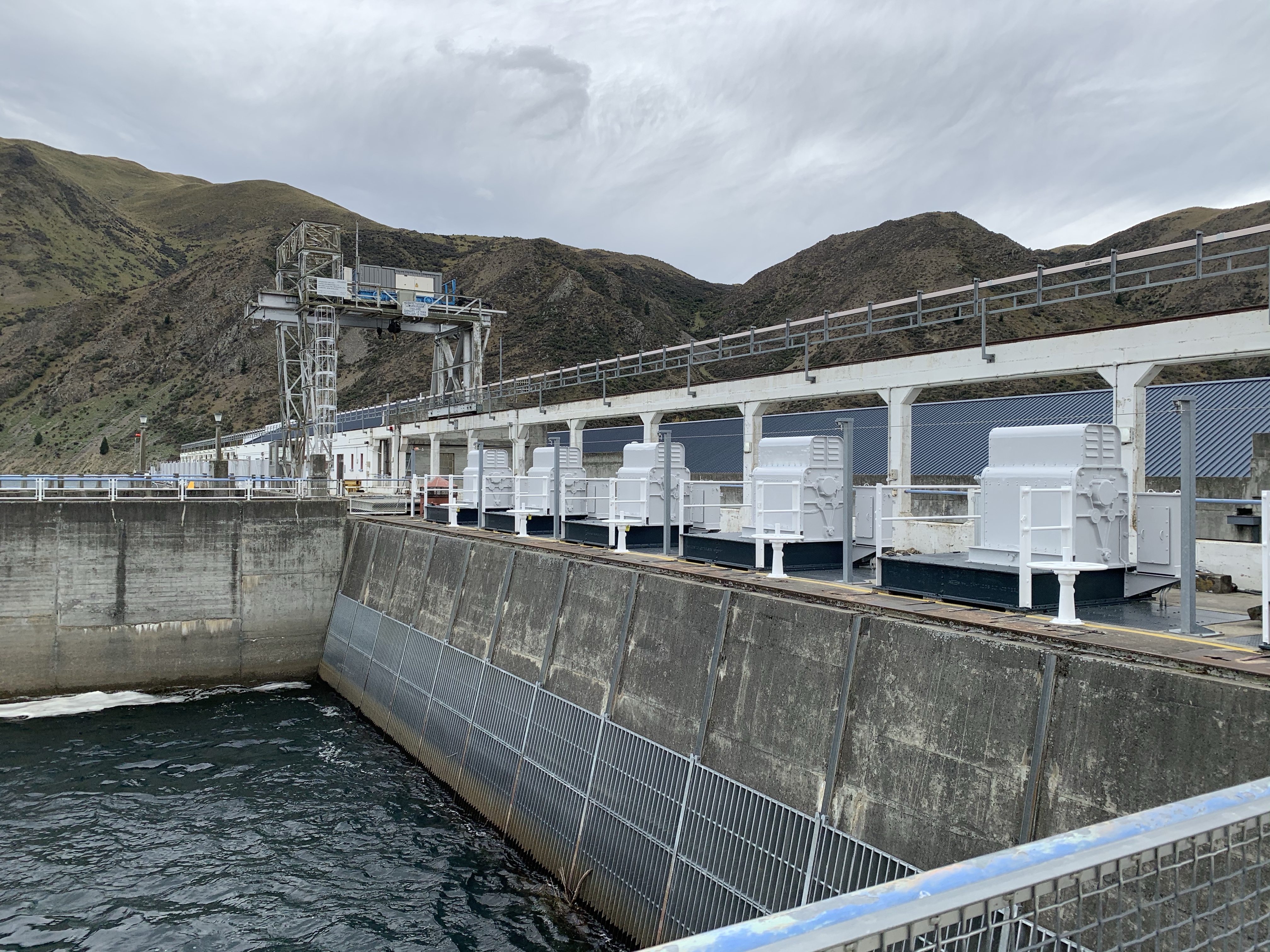
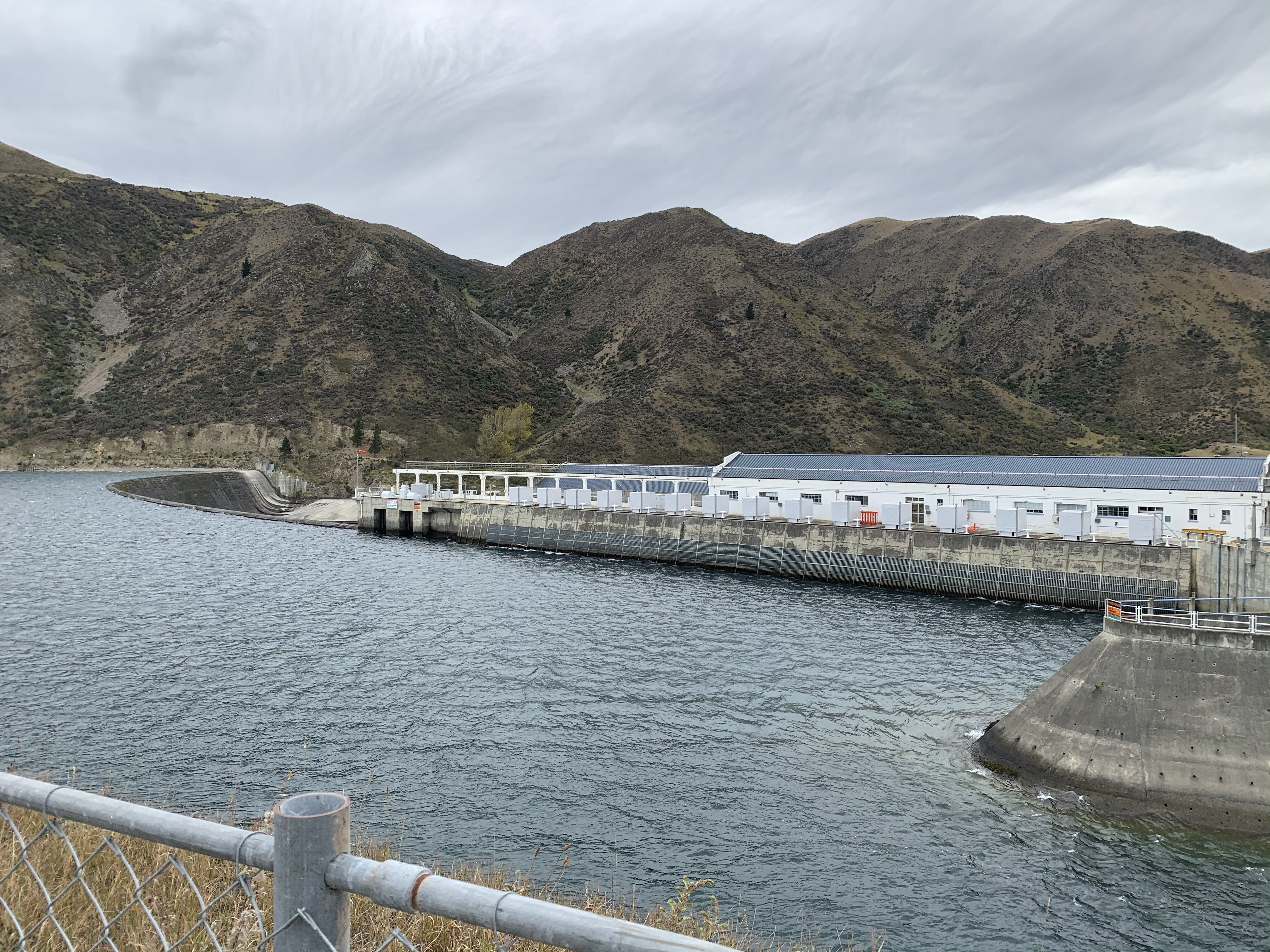
It started generating power in 1935 and was built by manual labour using hand picks, shovels and wheelbarrows, as a ‘make work’ project during the depression.
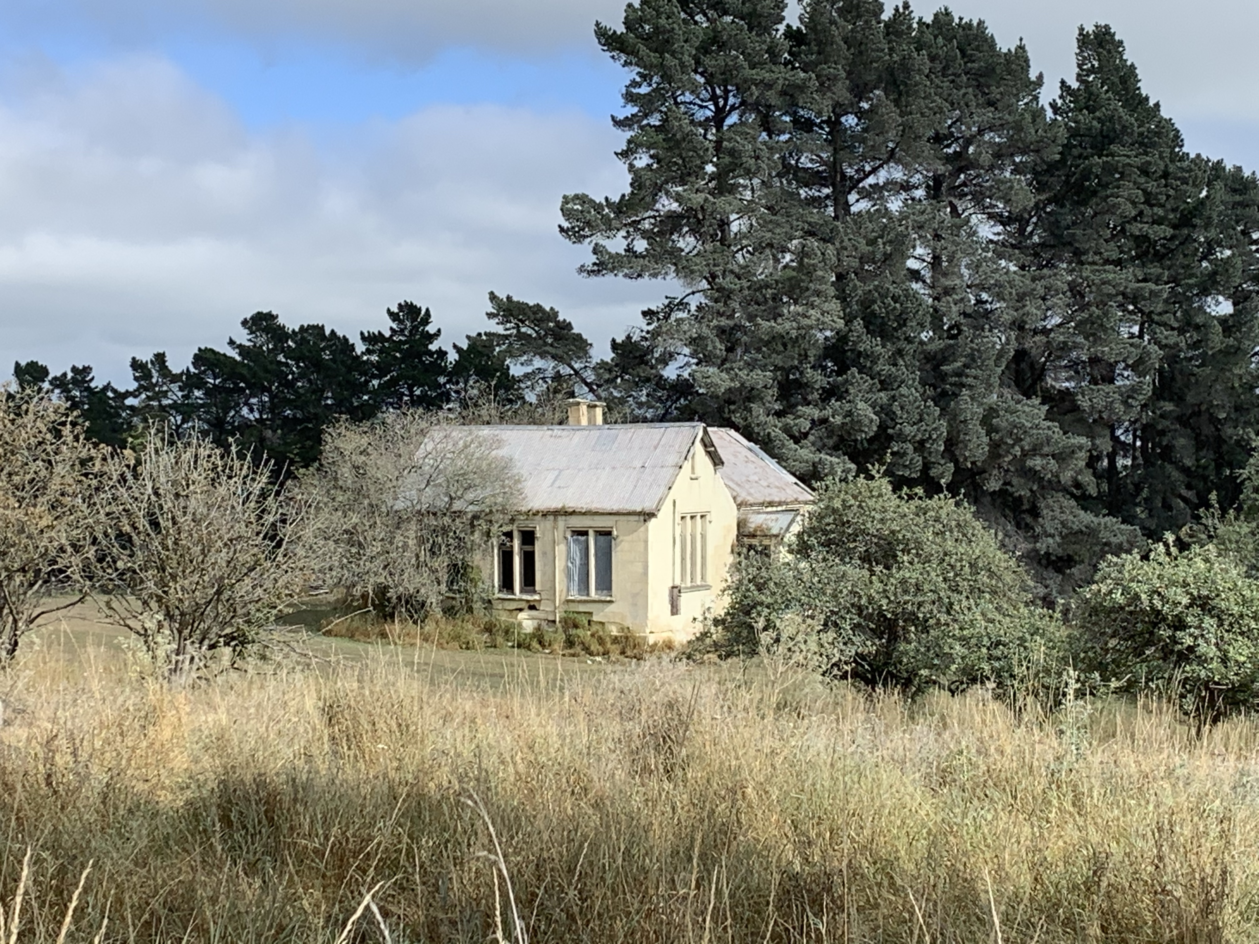
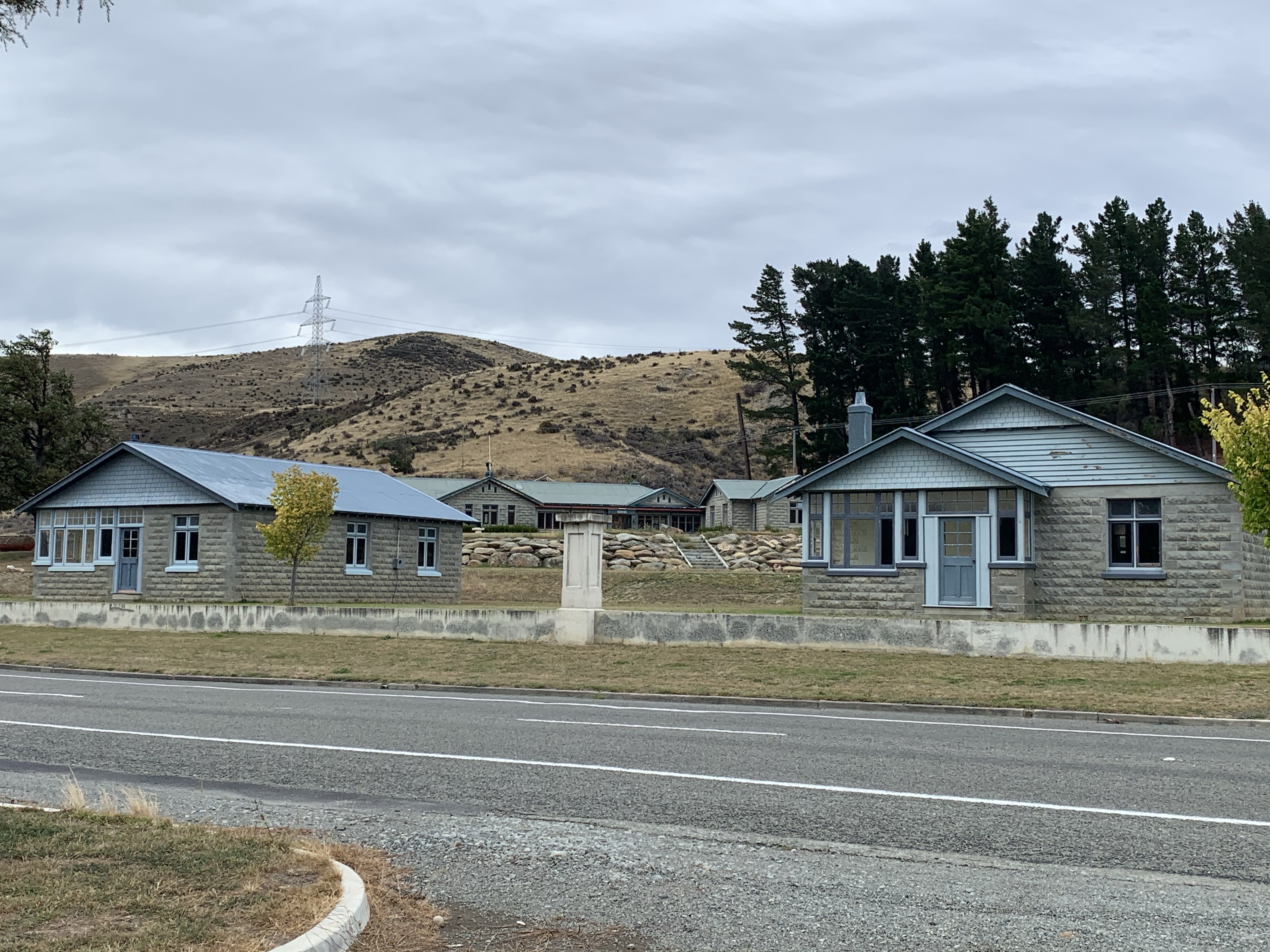
Opposite dam there were these amazing stone houses. Home to over 40 staff and families in the day, but now mostly empty.
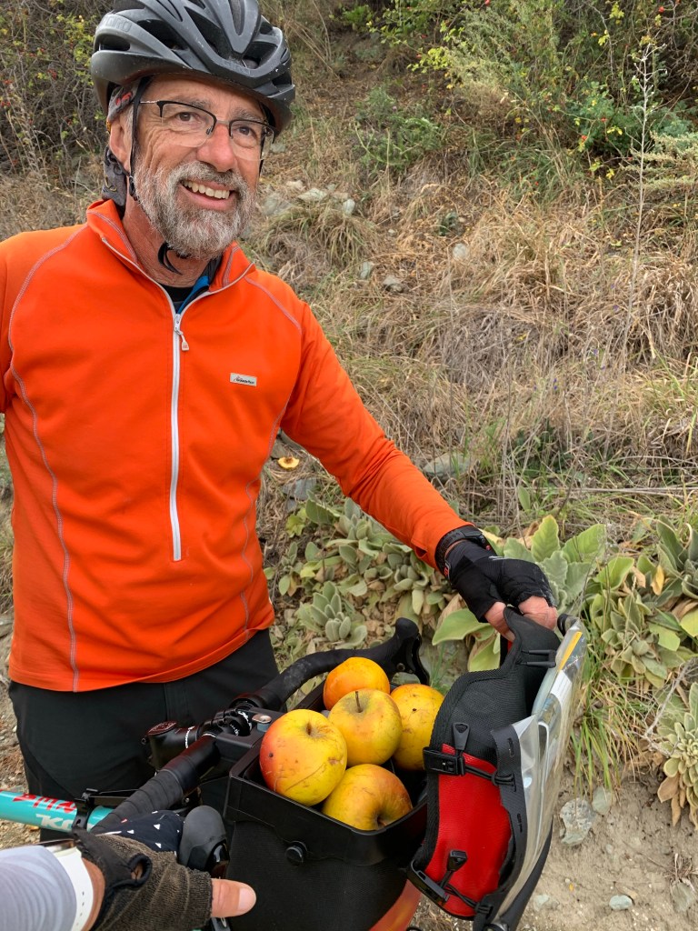
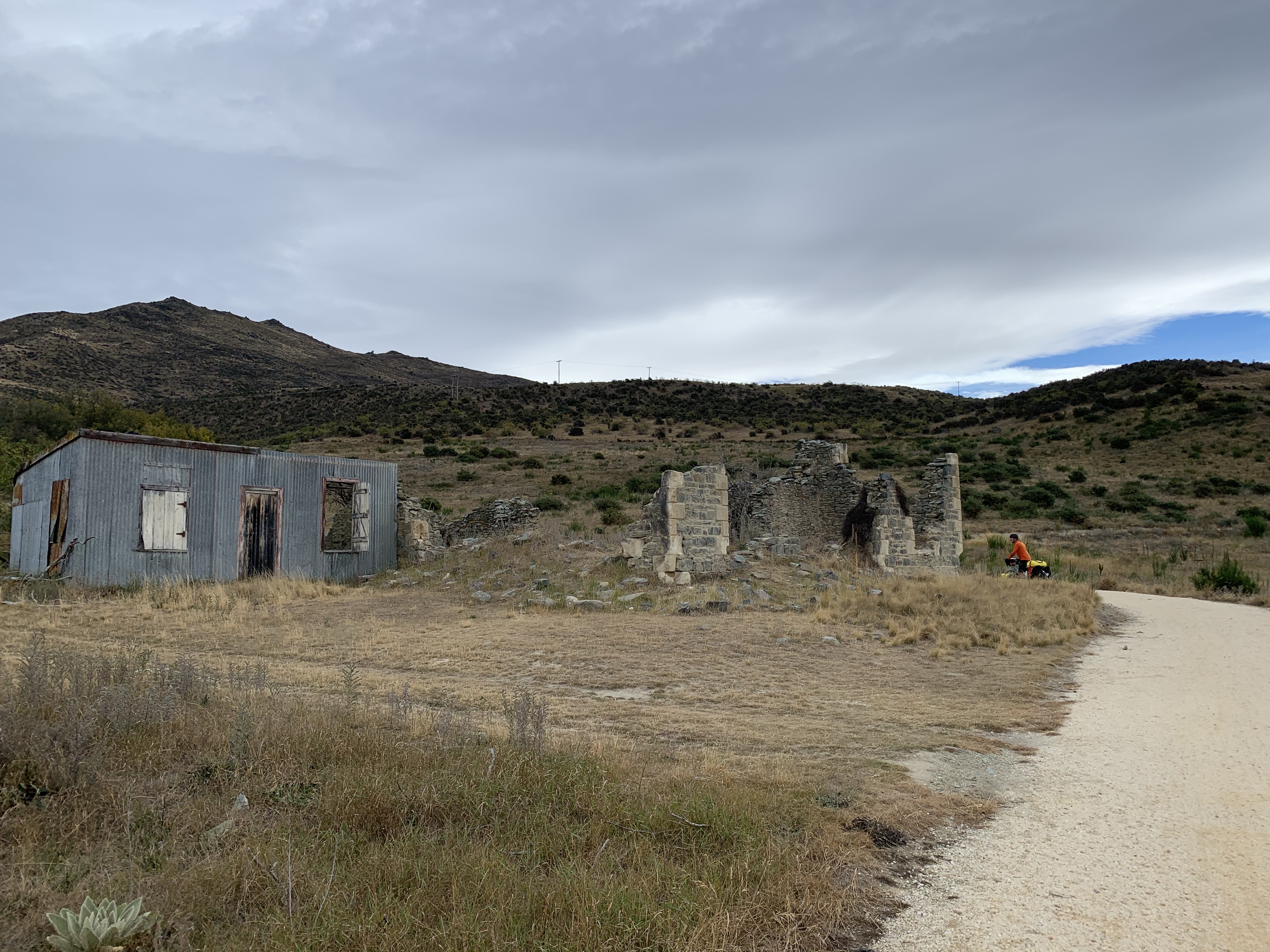
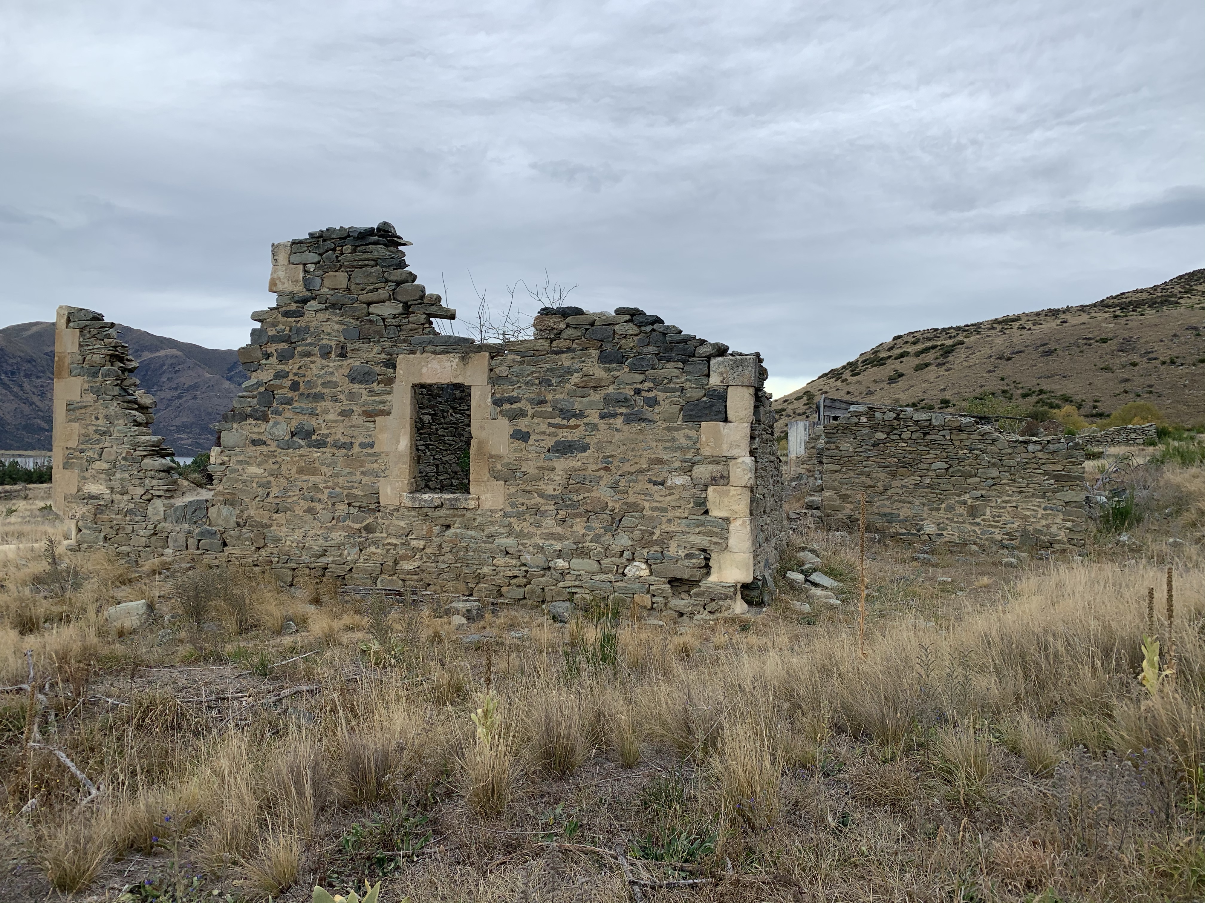
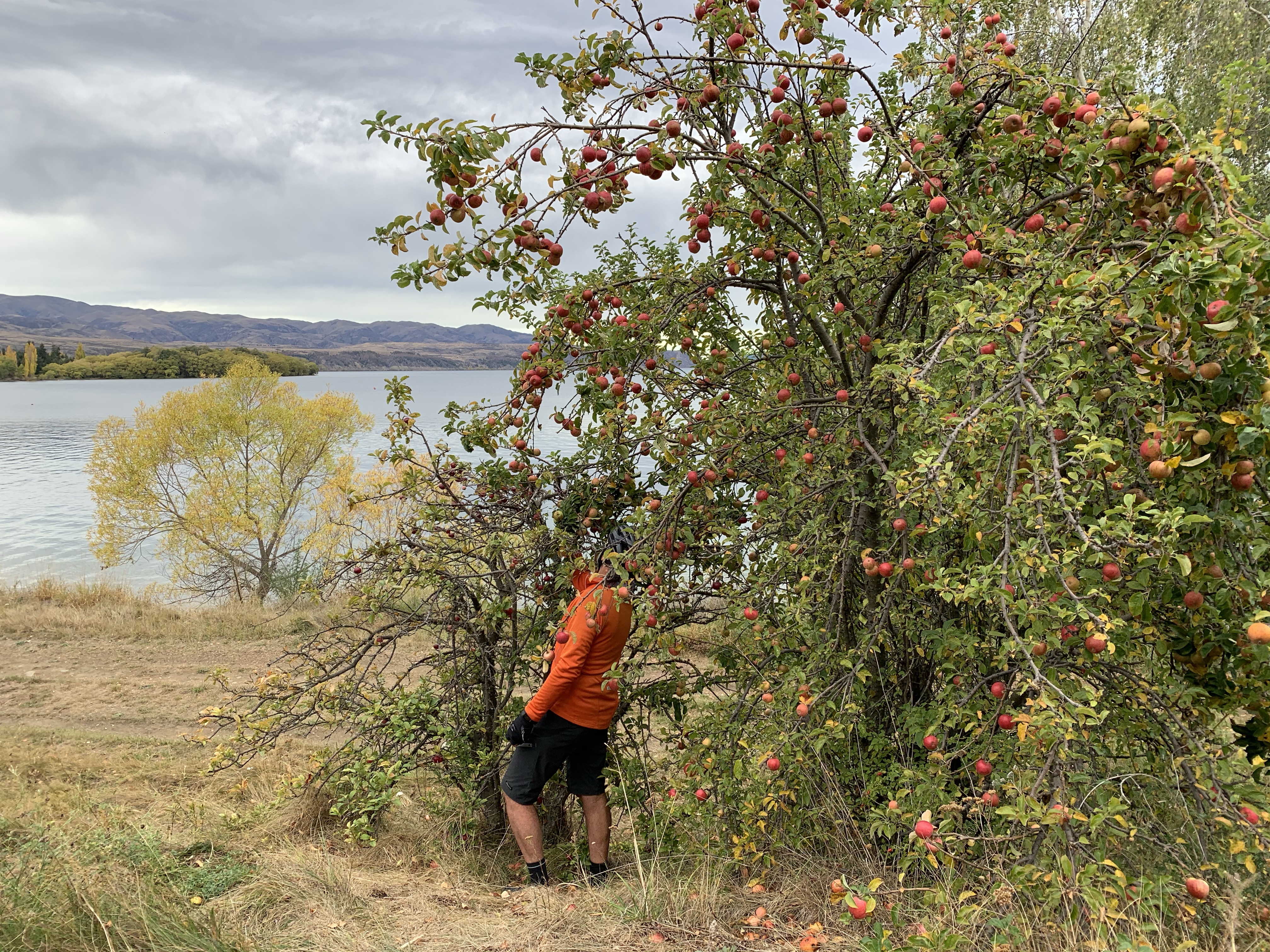
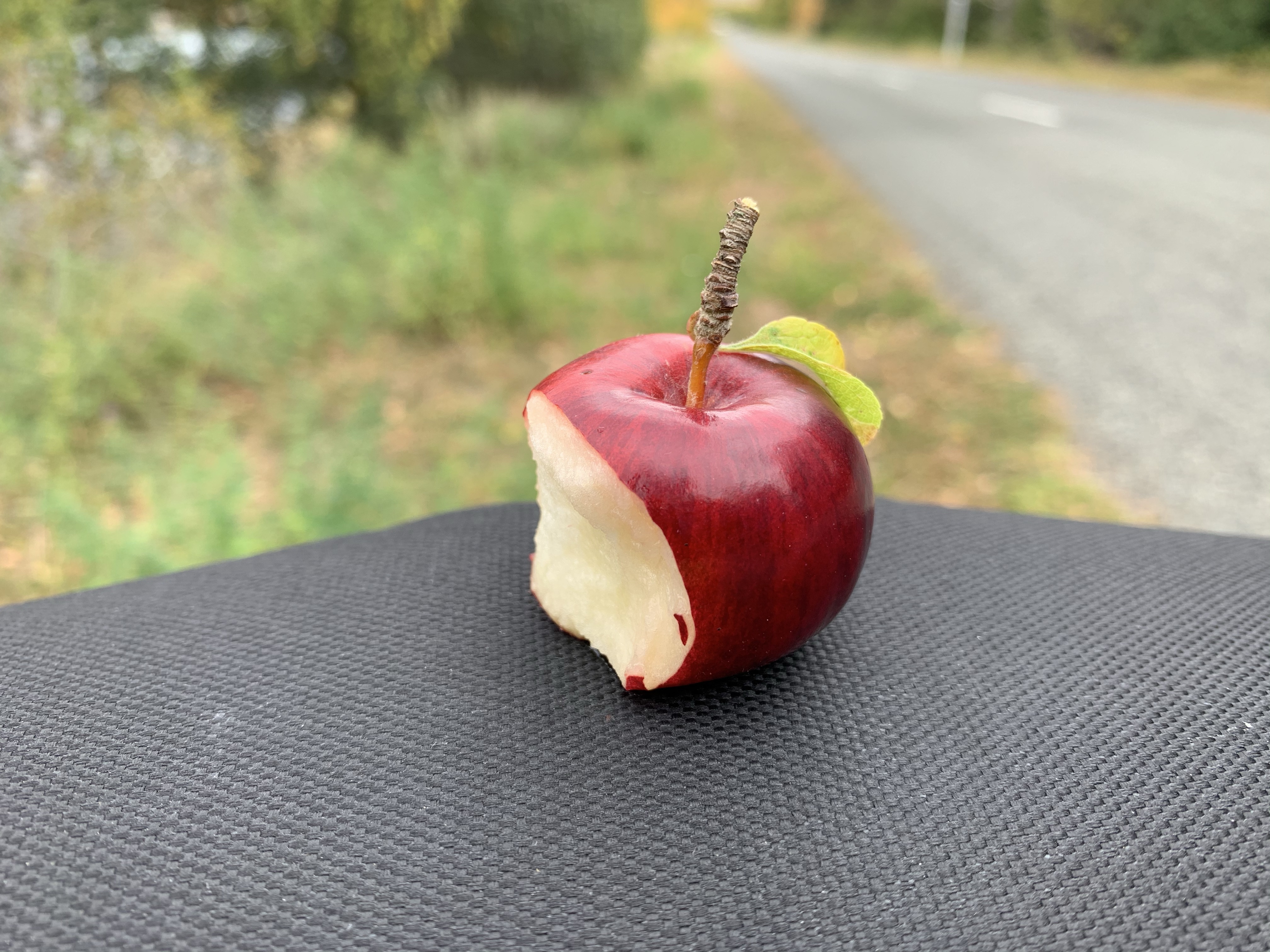
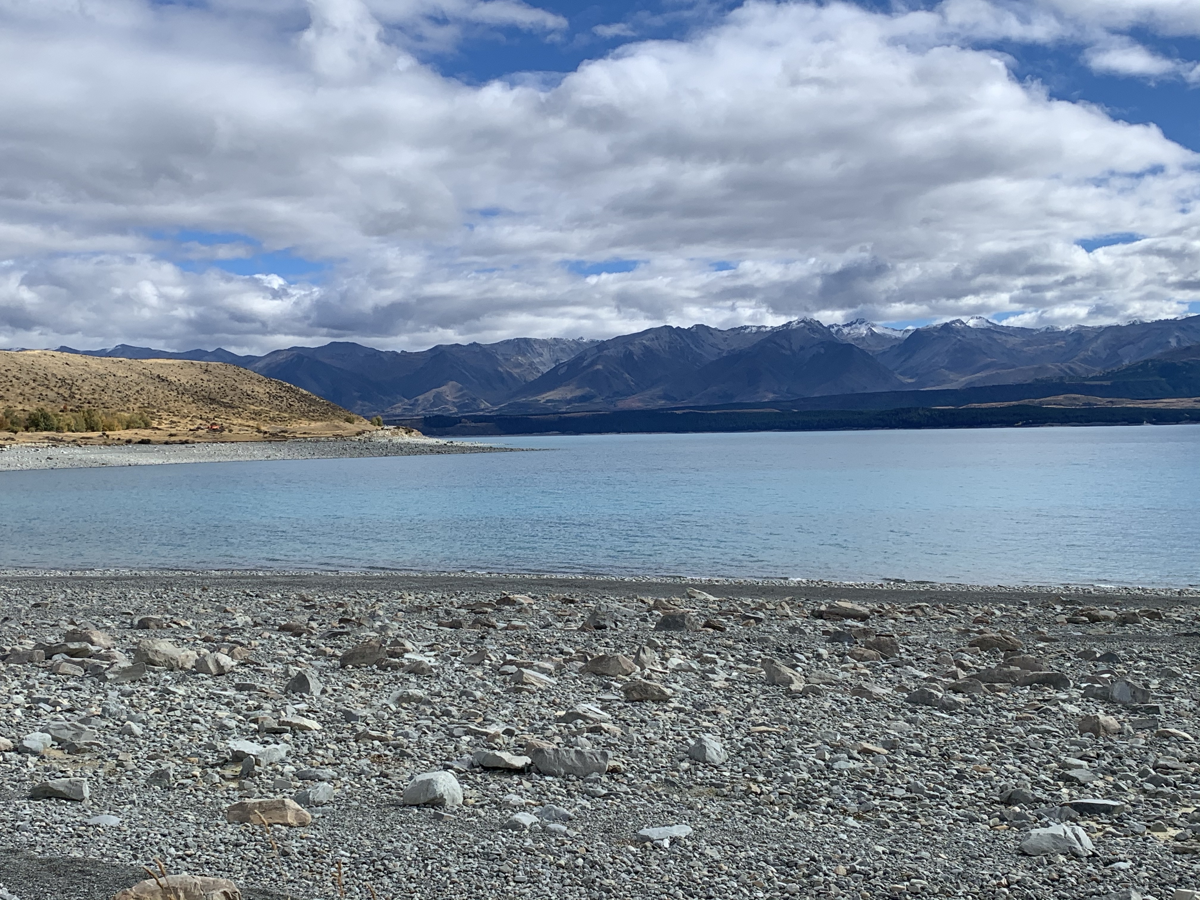
Continuing on to Aviemore Dam we did some apple foraging on the way and passing by the old stone remnants from the ghost town of Wharekuri.
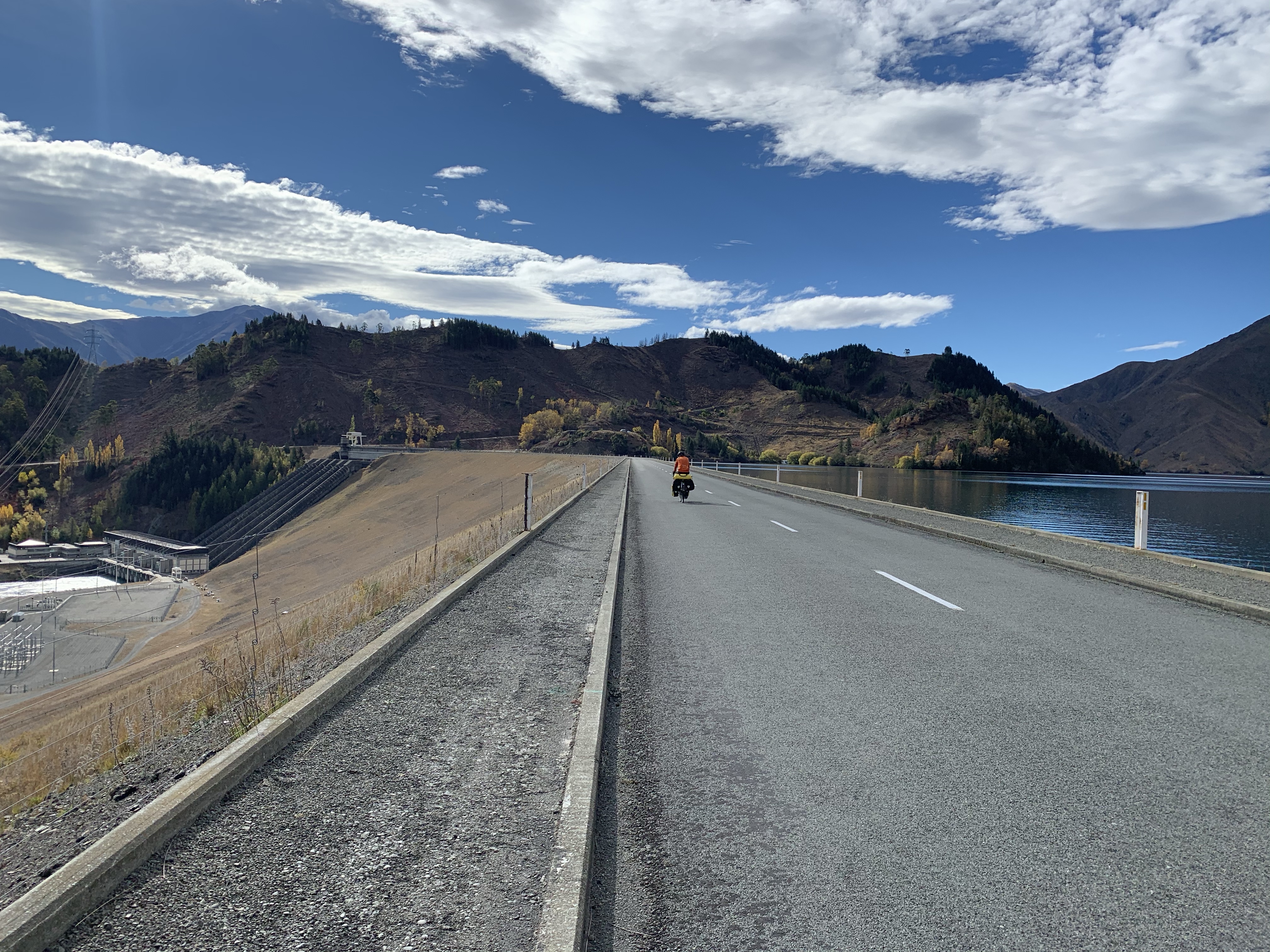
Aviemore Dam was opened in 1968 and is the biggest earth and concrete dam of this type in the country.
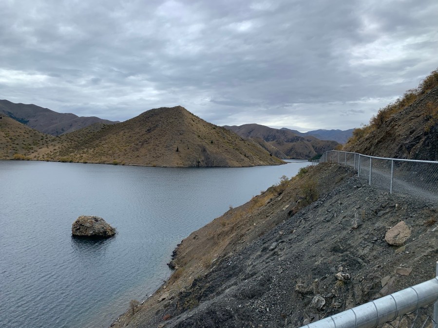
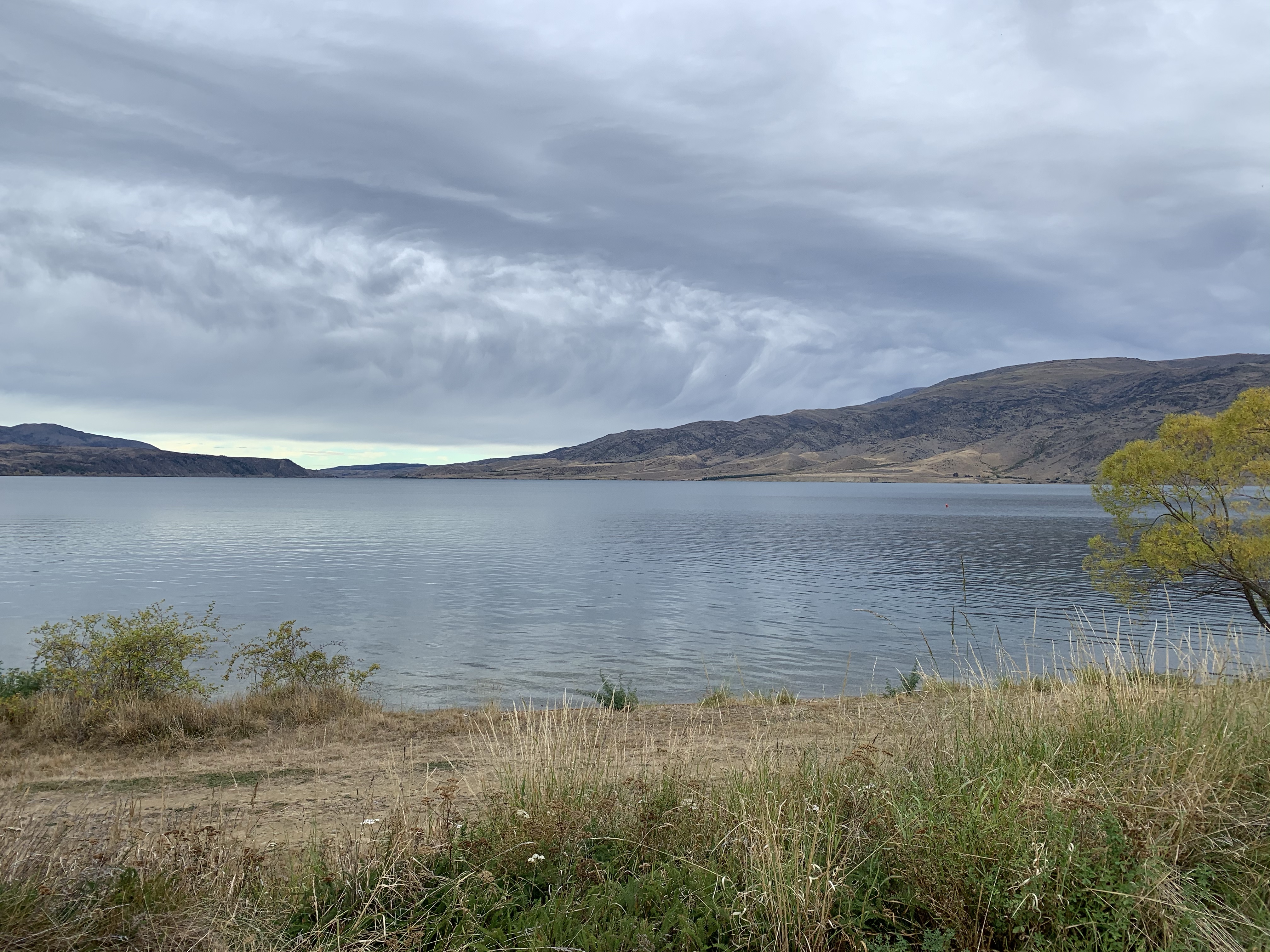
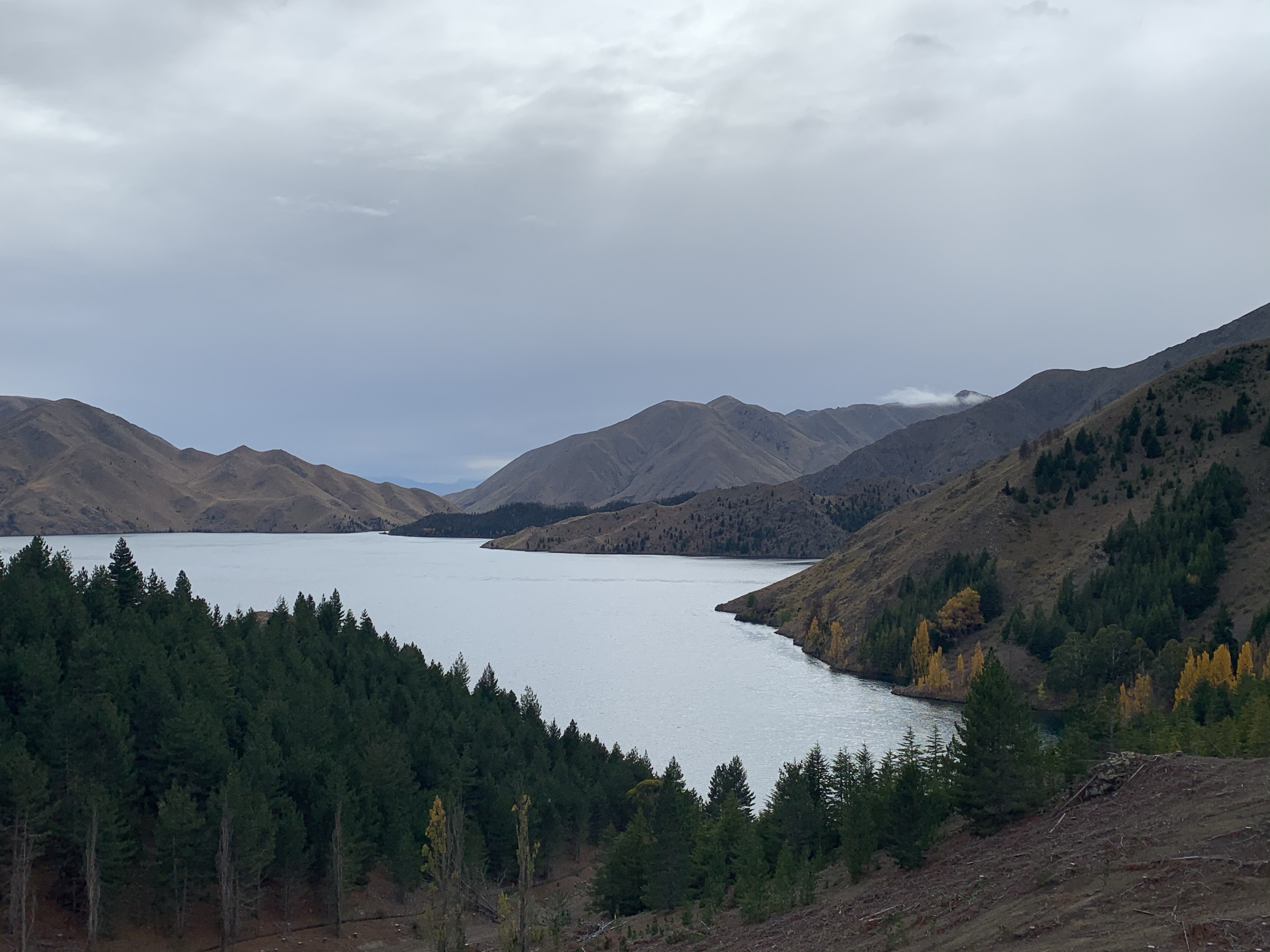
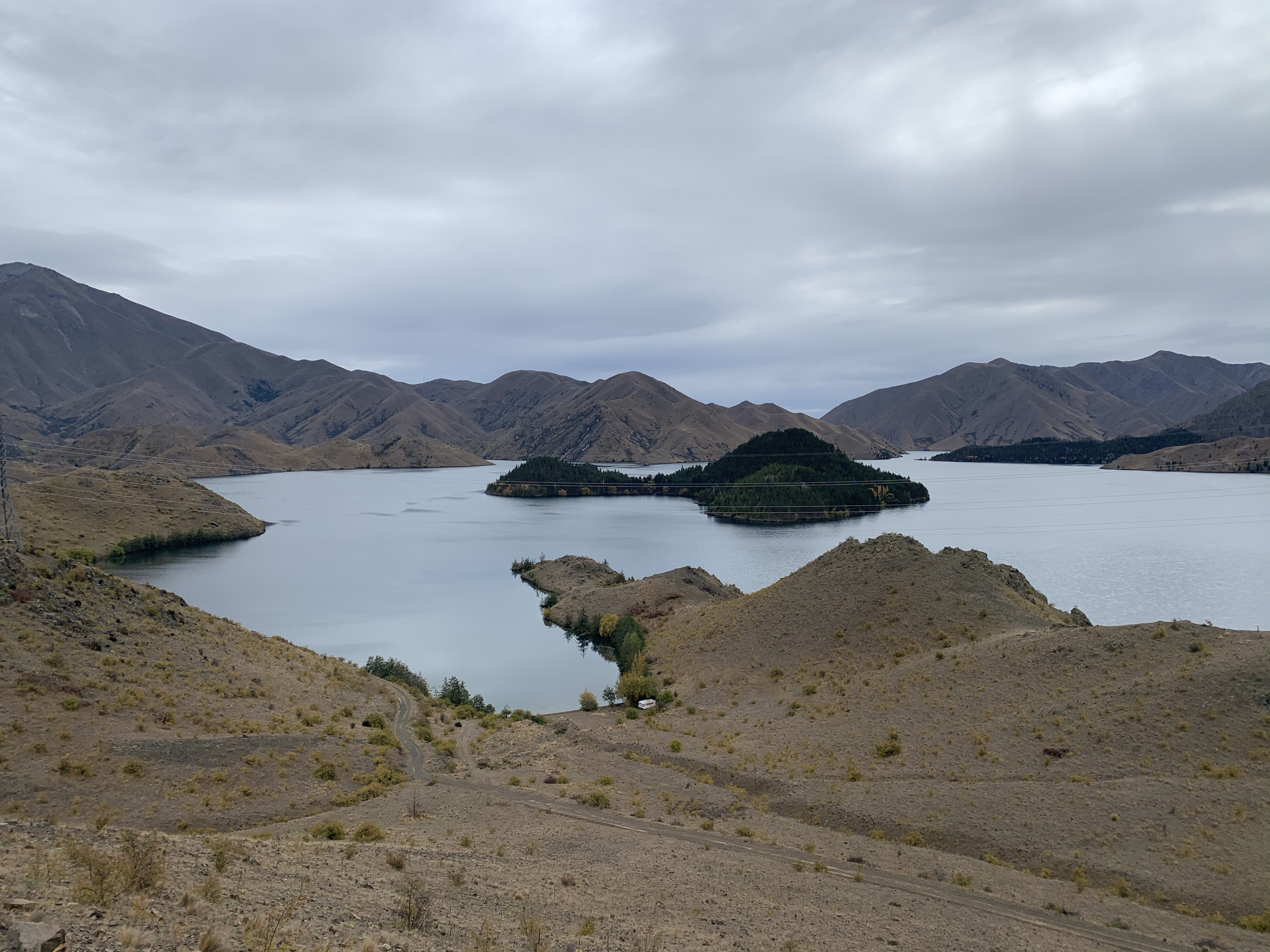
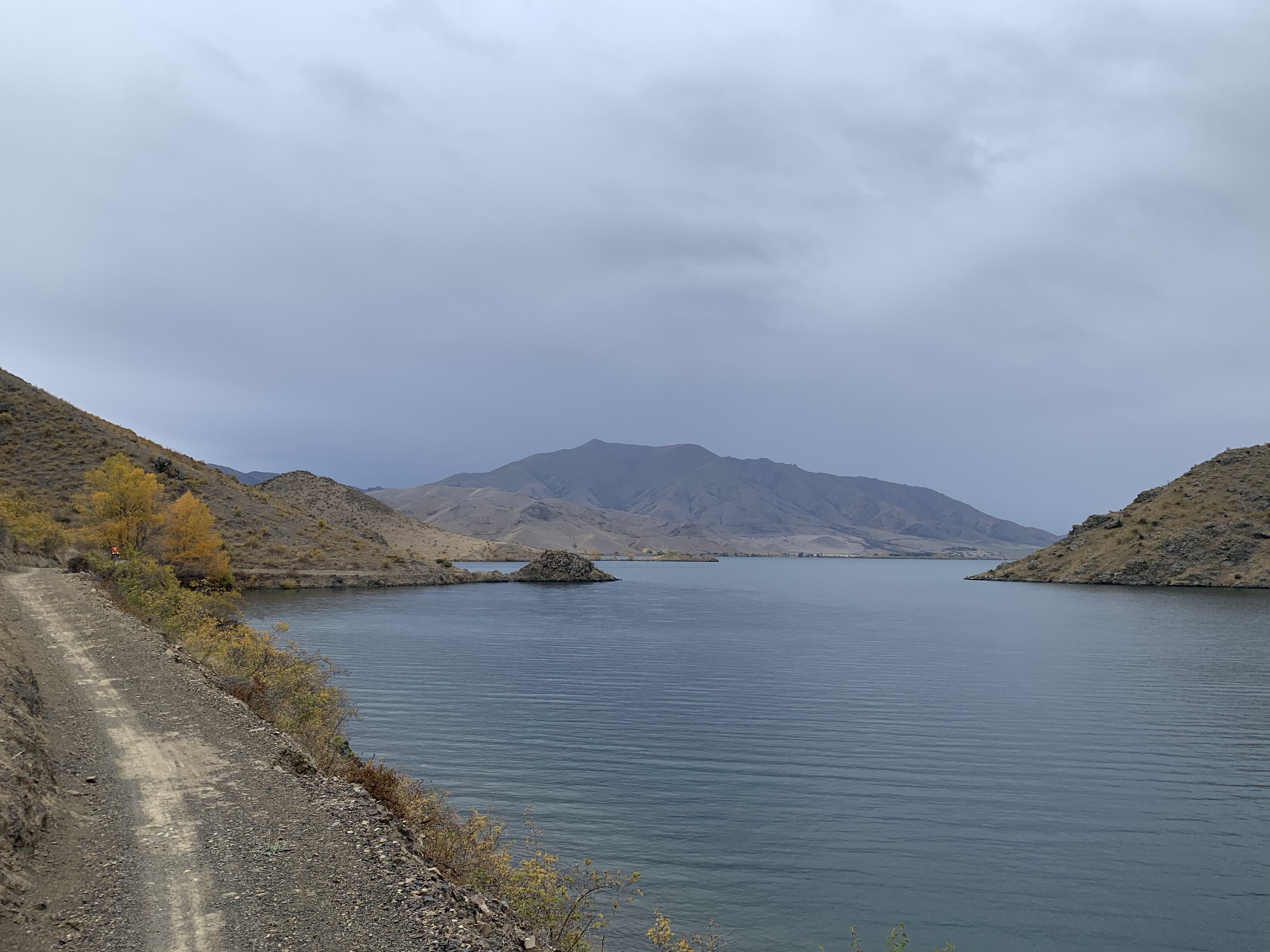
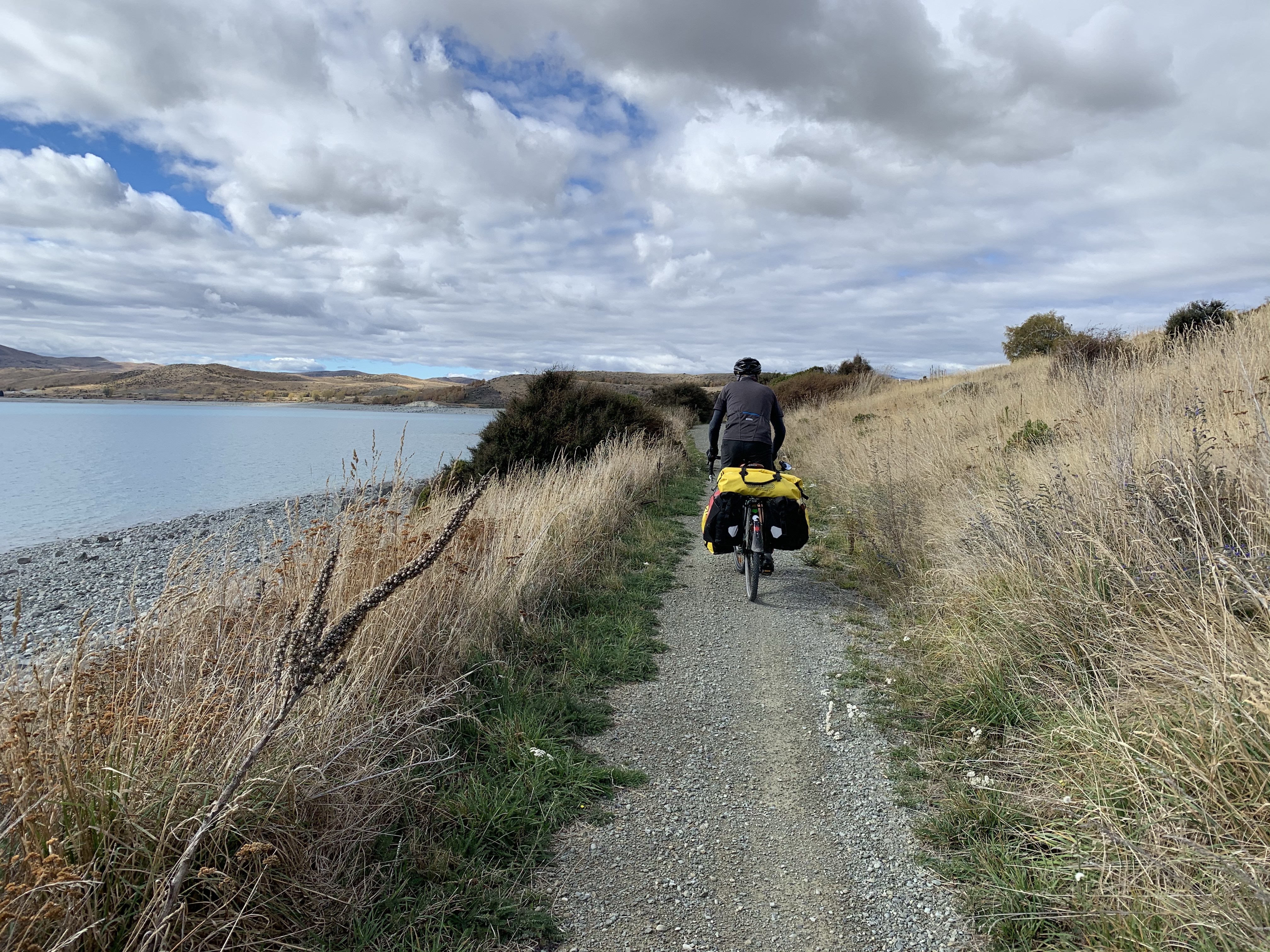
Crossing the dam, we rode along the quiet Te Akararawa Road alongside Lake Aviemore.
With more apple trees and the most delicious crab apples I have ever had.
We must have seen at least 20 decaying wallabies on the side on the road. I never knew New Zealand had wallabies in the wild.
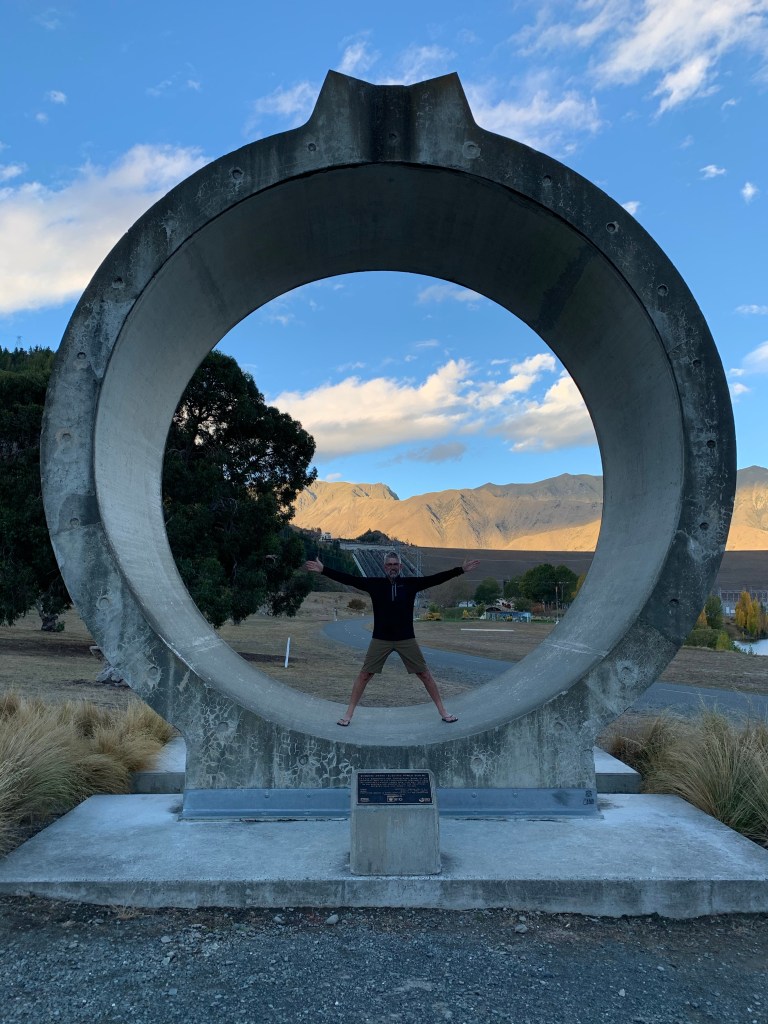
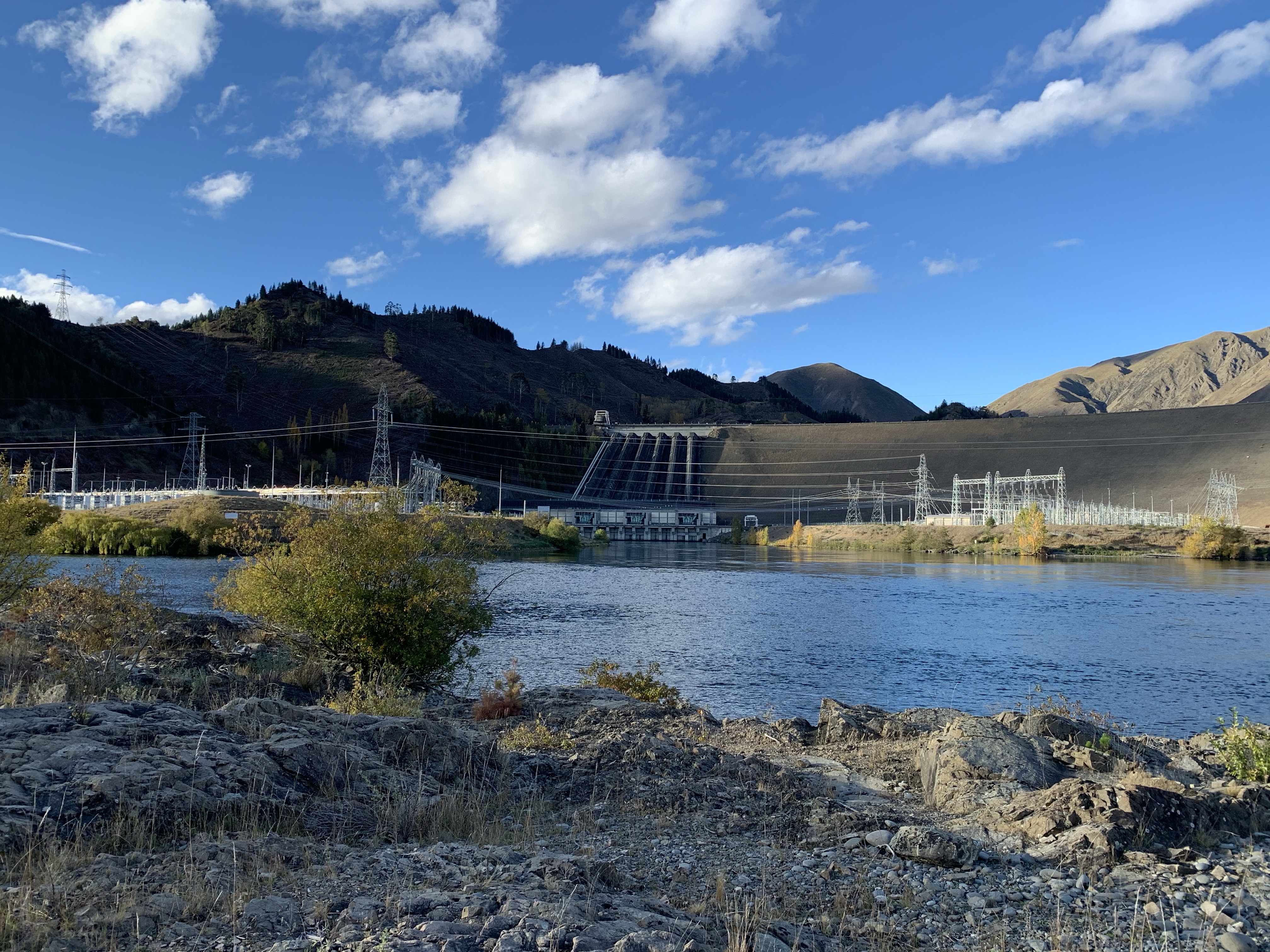
Benmore Dam was soon in sight and up and over to our campsite at Lochhead Laird.
Benmore Dam was opened in 1965. Initially it was going to be a concrete dam like Waitaki, but advances in dam building techniques meant Benmore was able to be built using earth.
At the time of construction, the dam was the largest in the Southern Hemisphere and the project was the biggest of its kind in New Zealand.
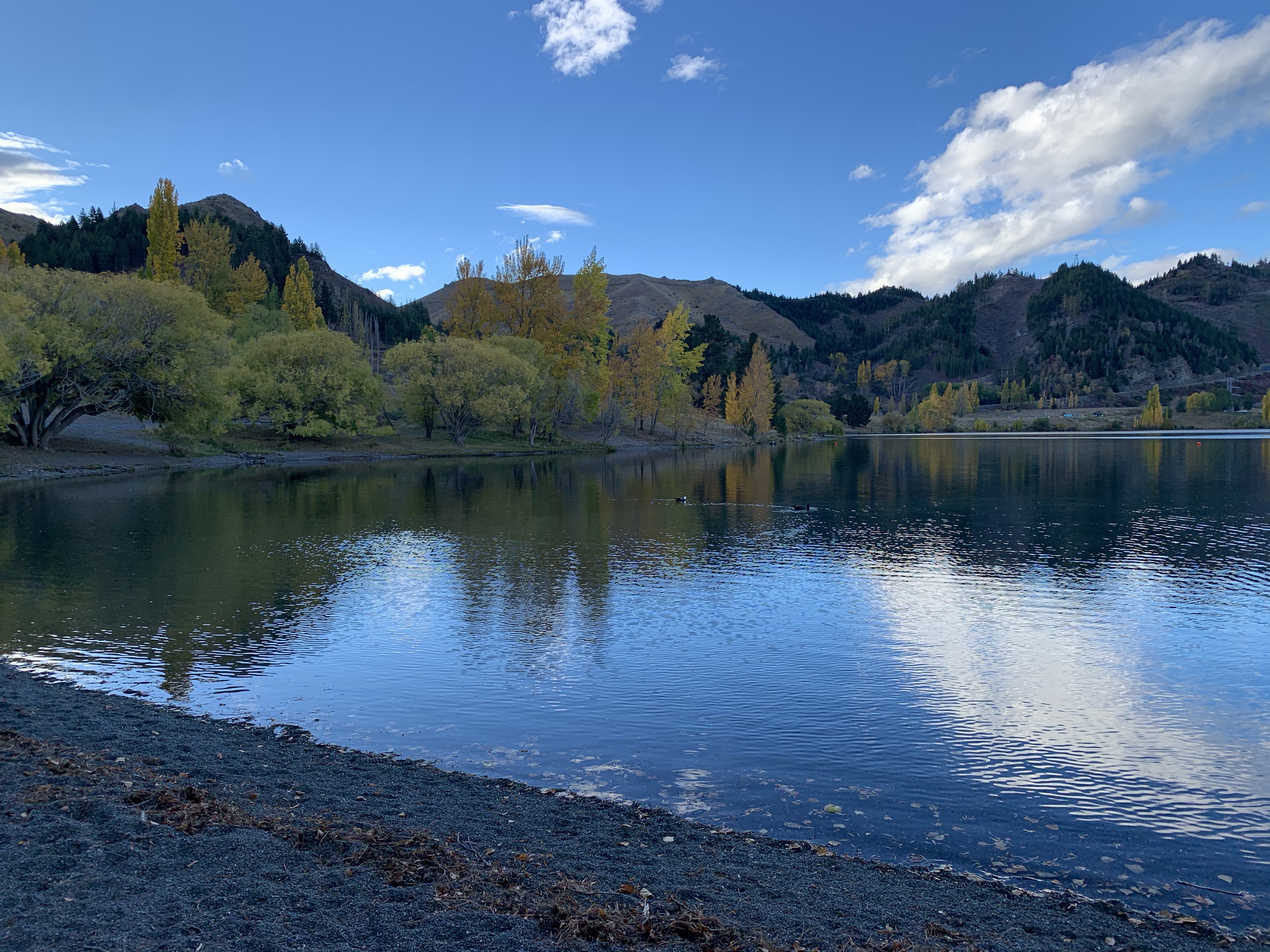
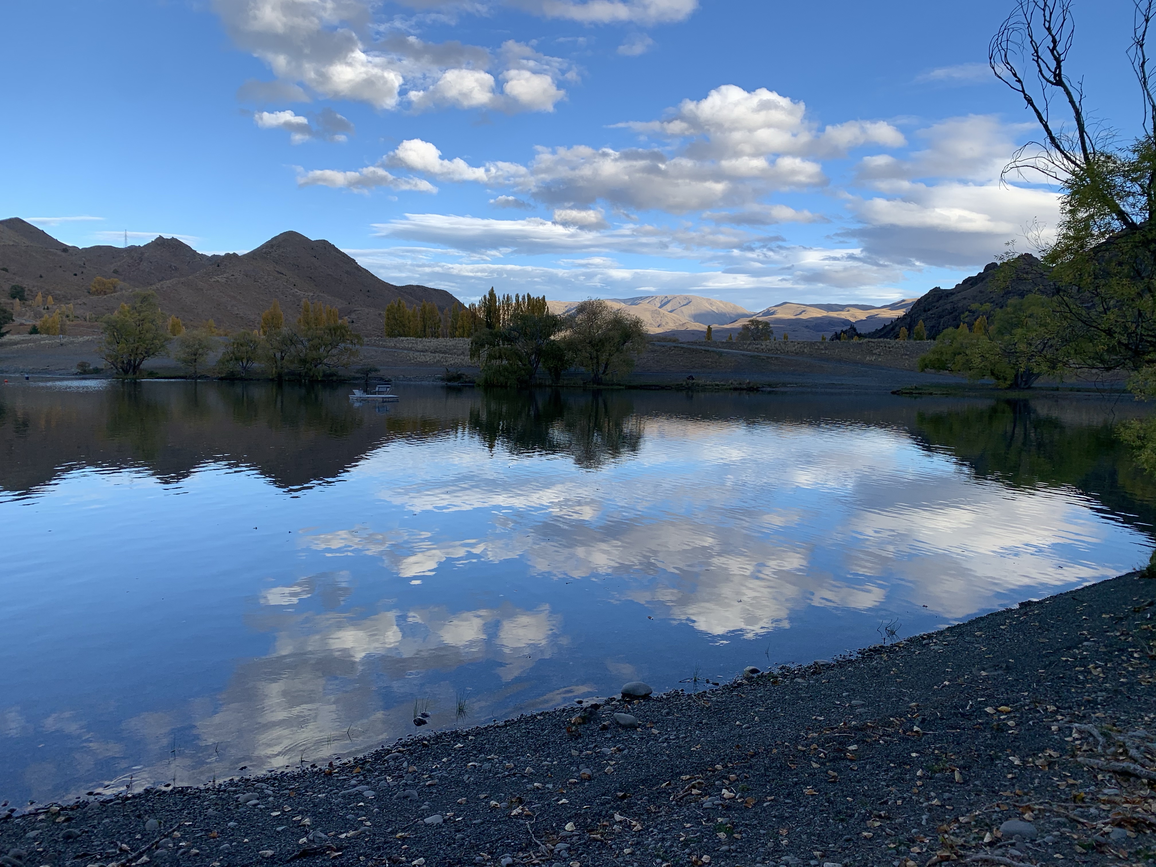
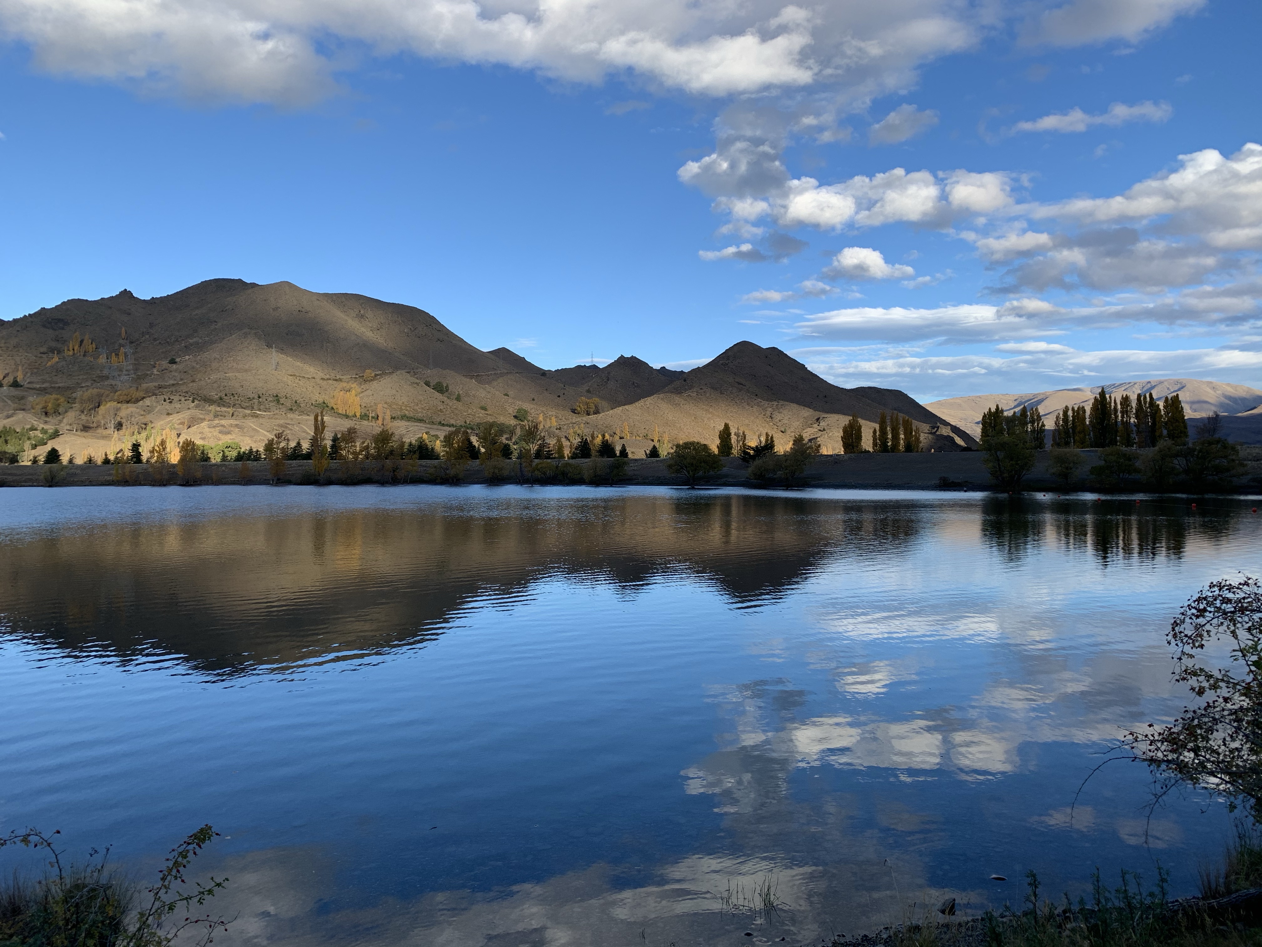
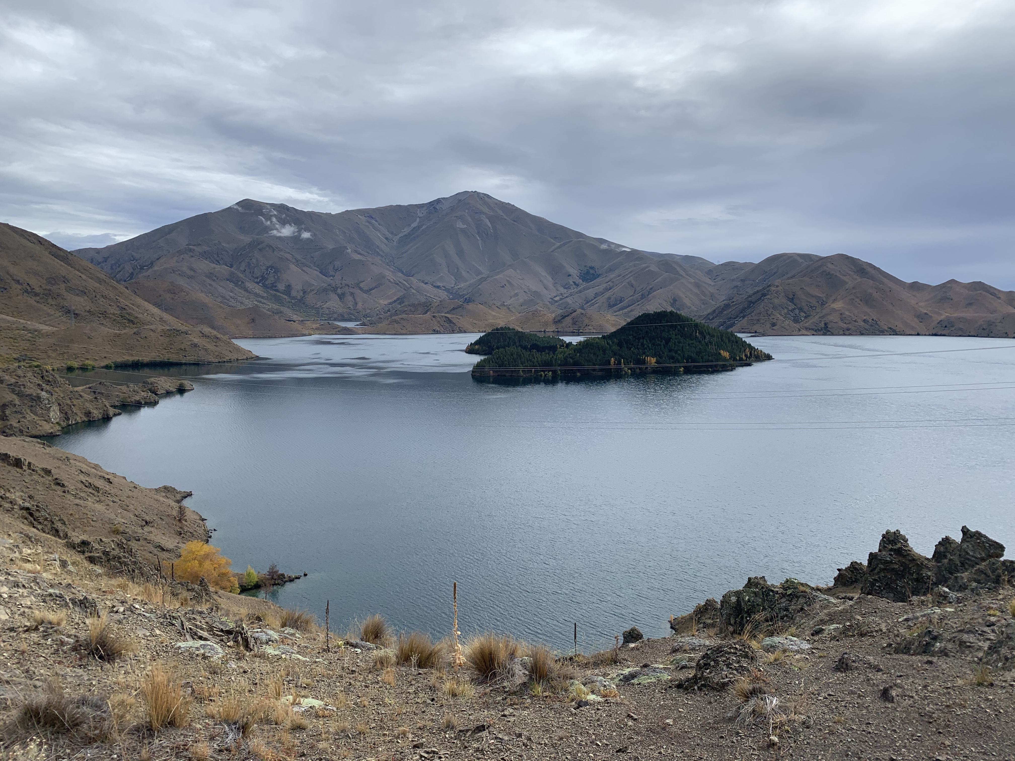
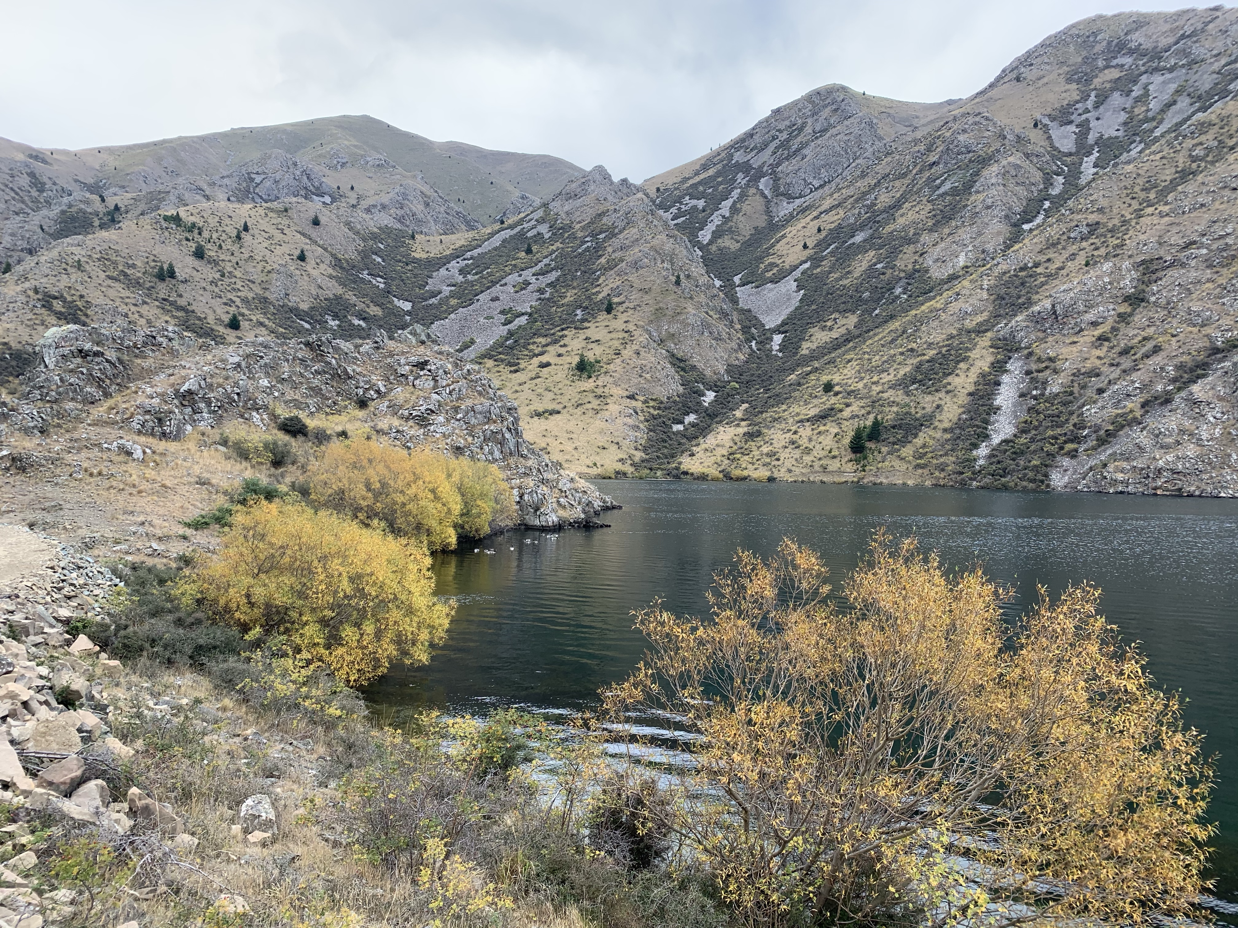
Settled in at Loch Laird, we walked back around to the power station.
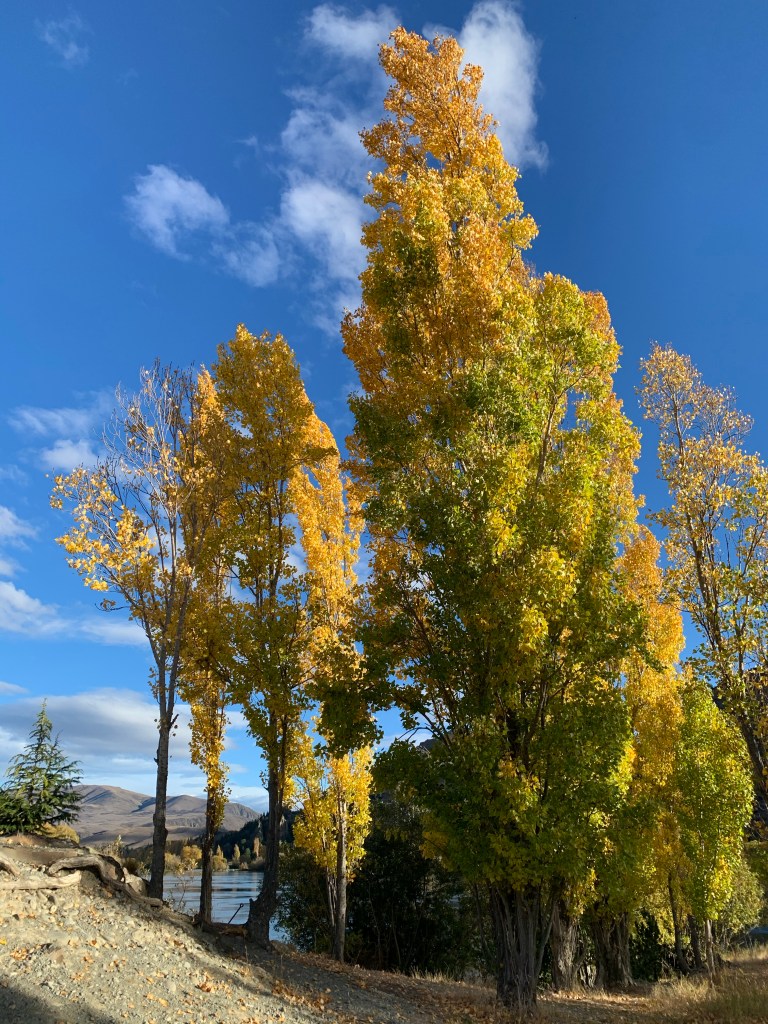
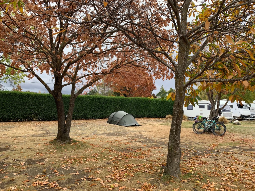
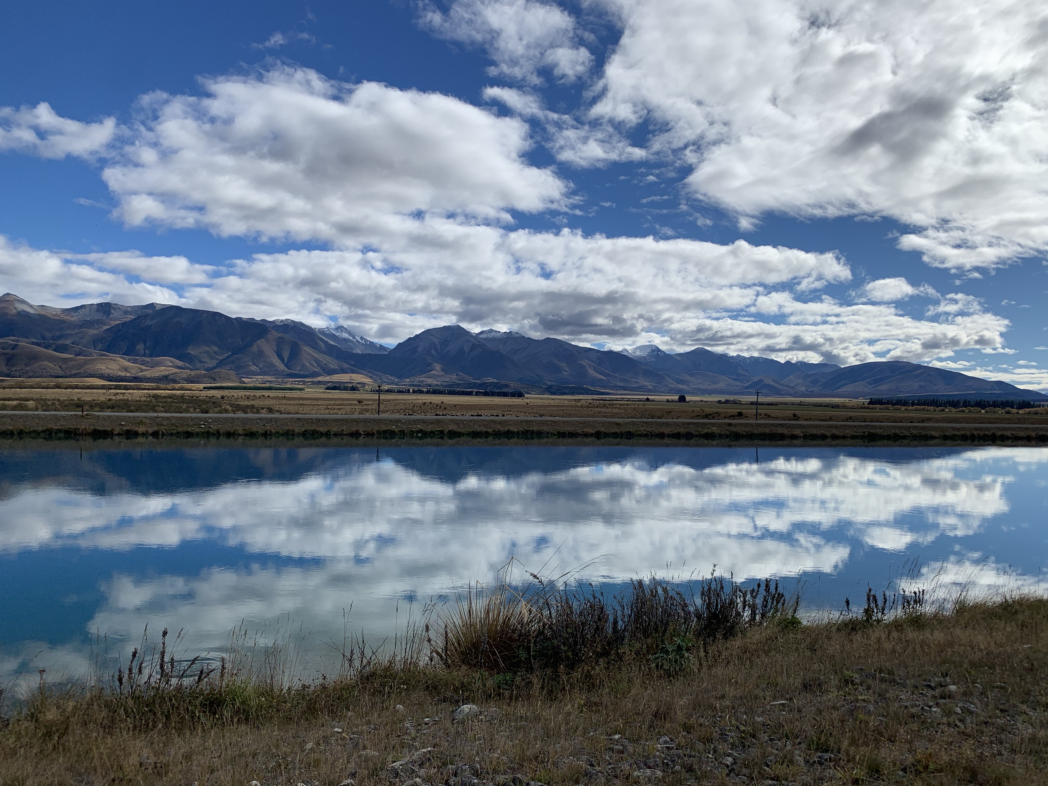
Loch Laird was just beautiful. The autumn leaves made a stunning display as did the lake reflections.
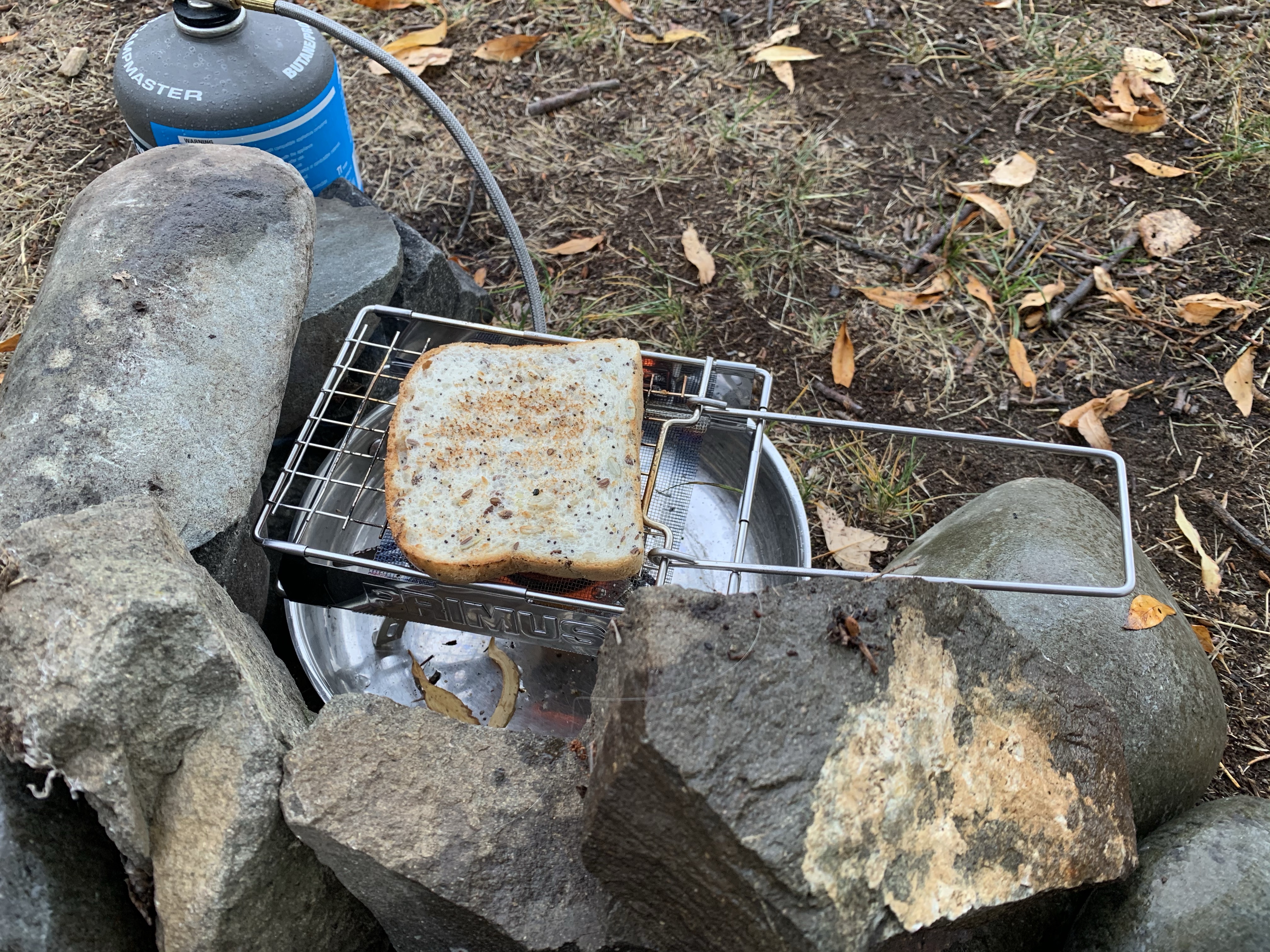
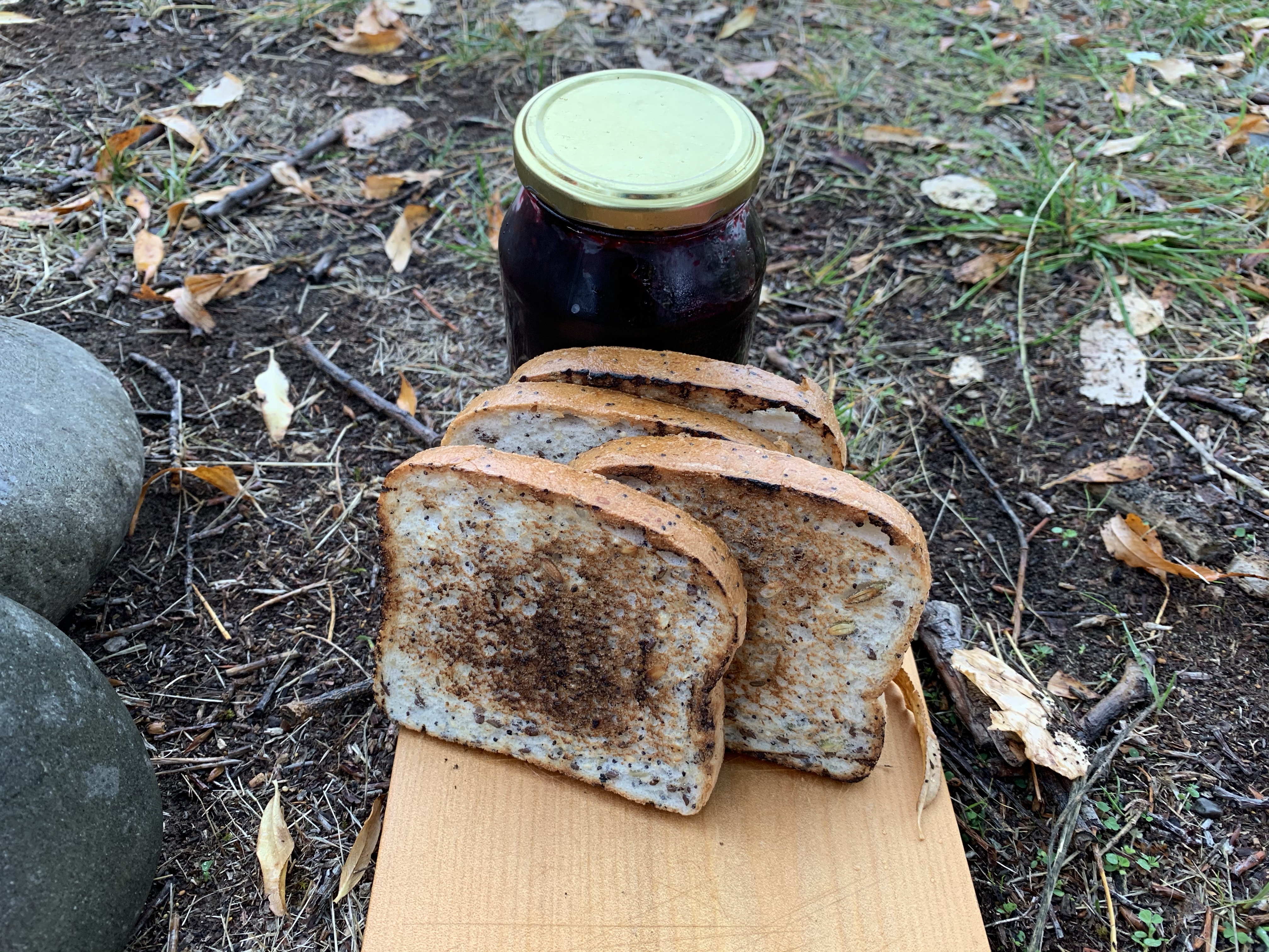
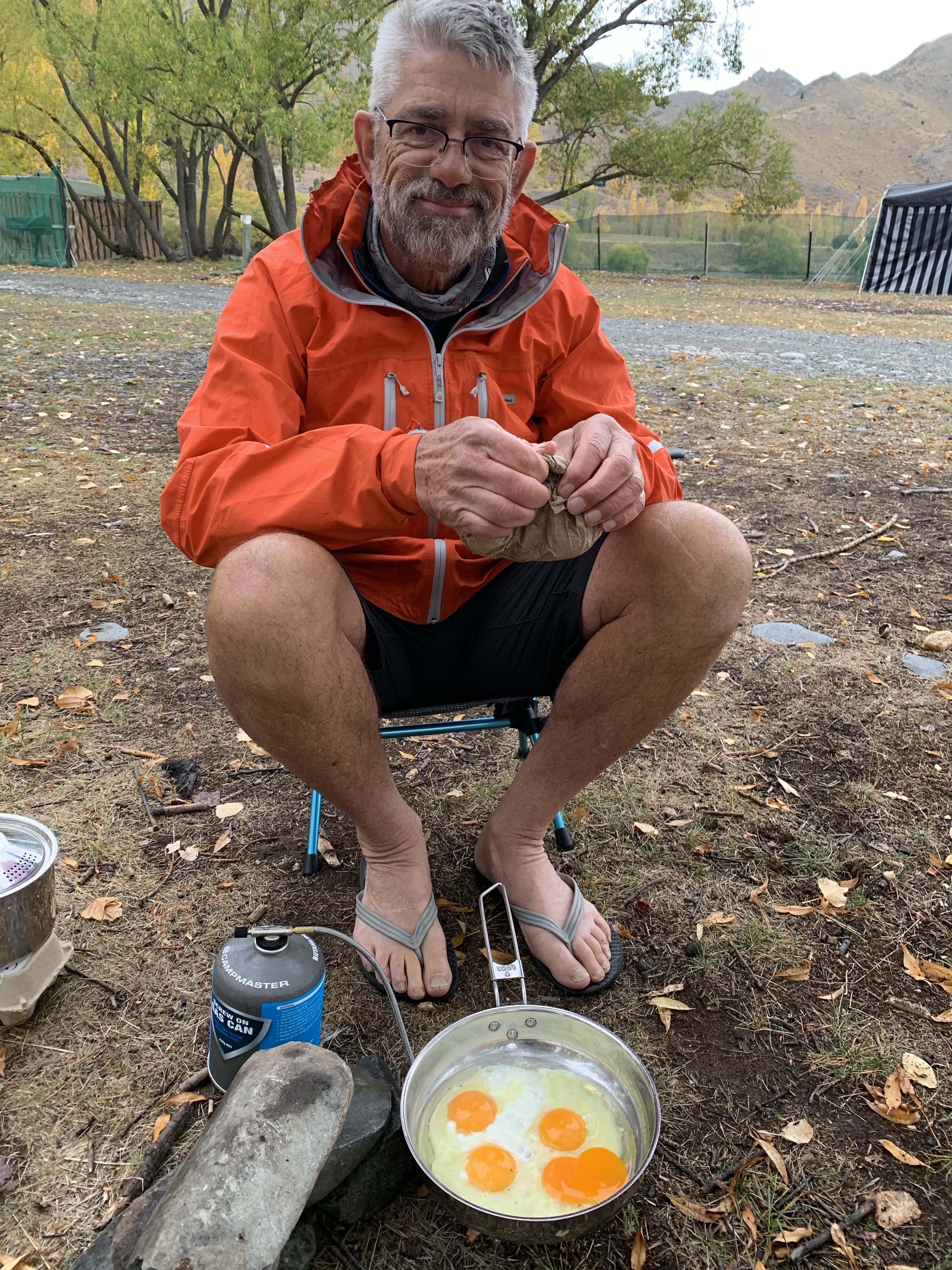
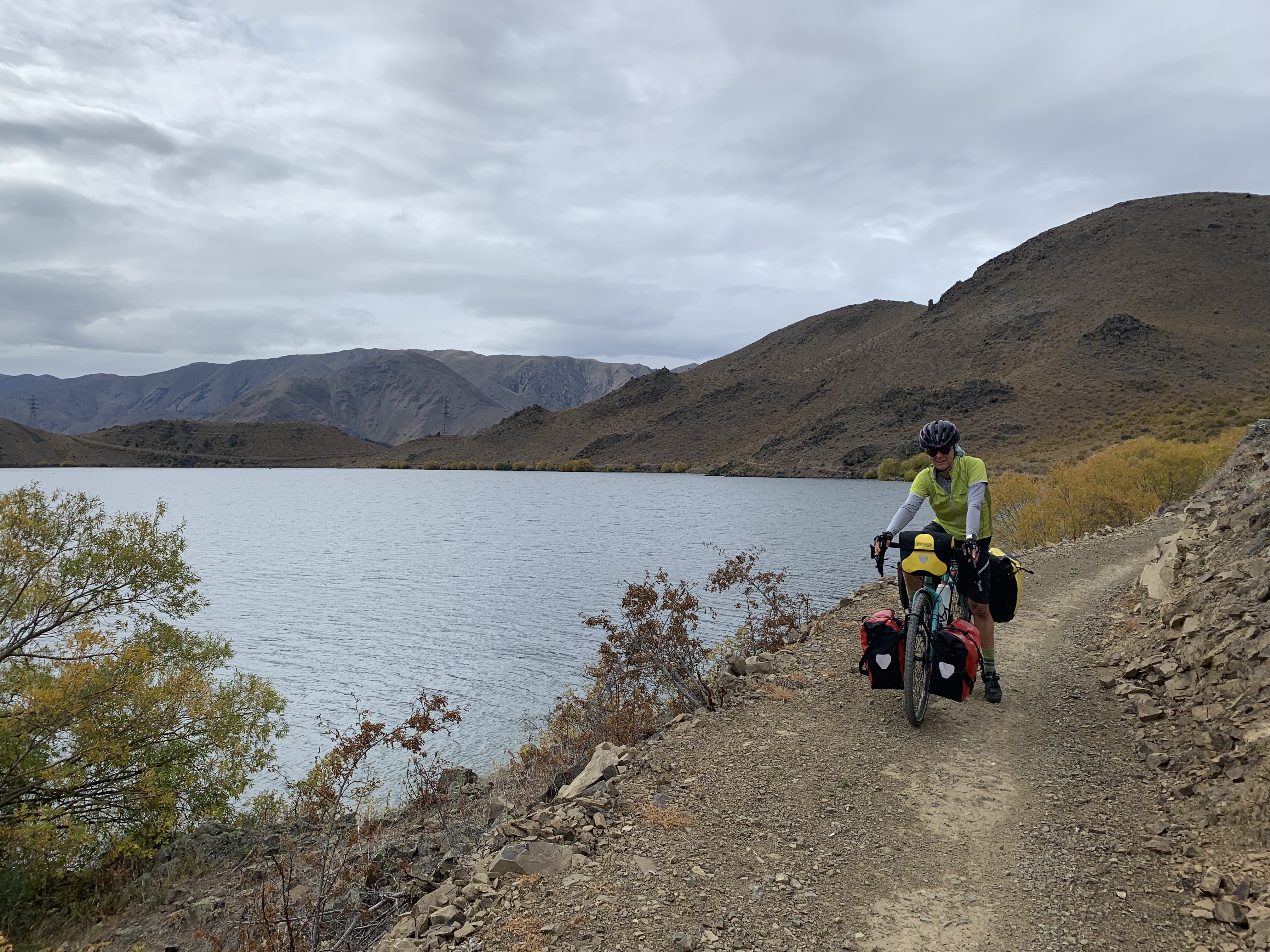
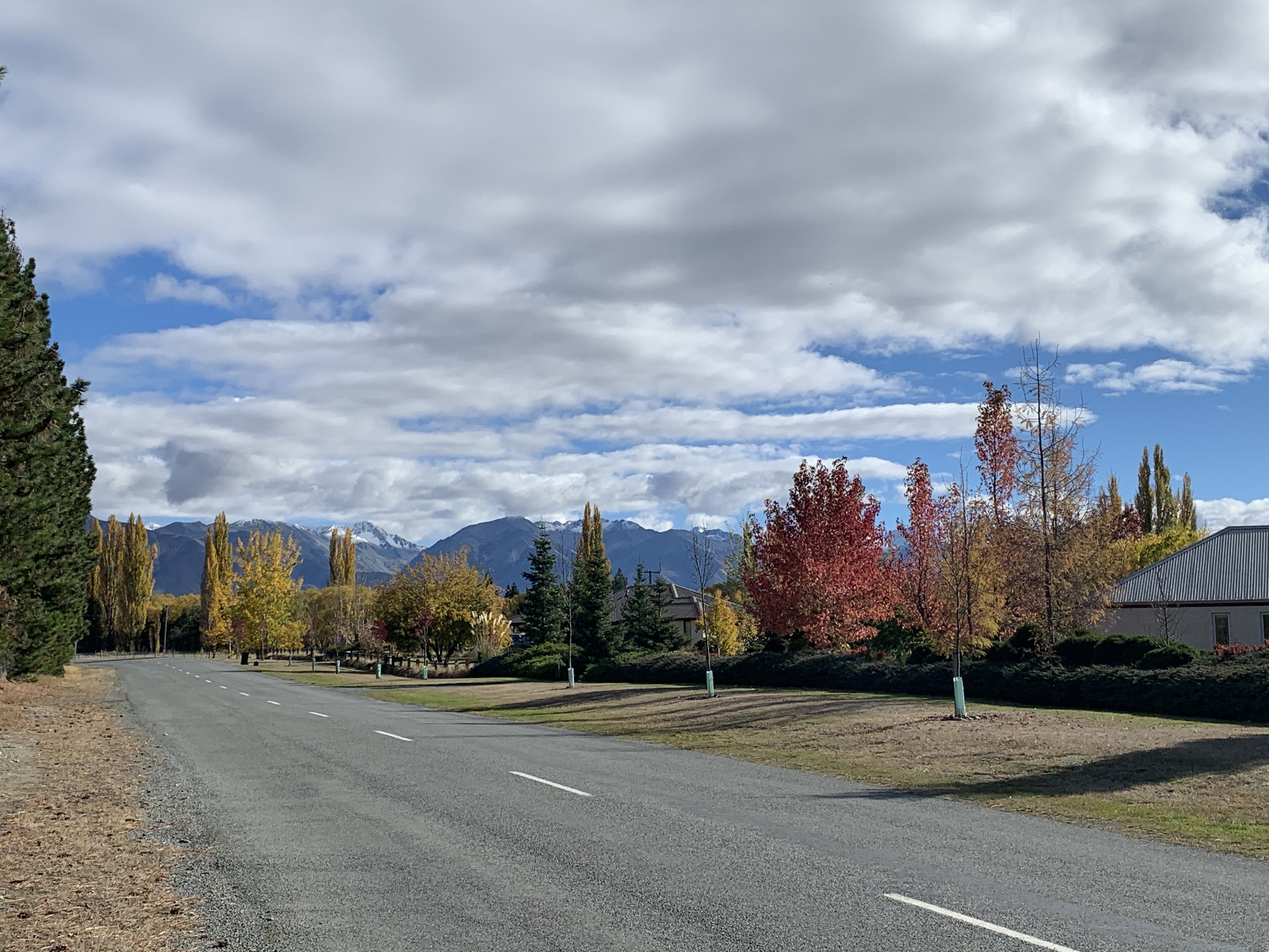
With the legs fuelled by a superb campsite breakfast, we were off to Omarama.
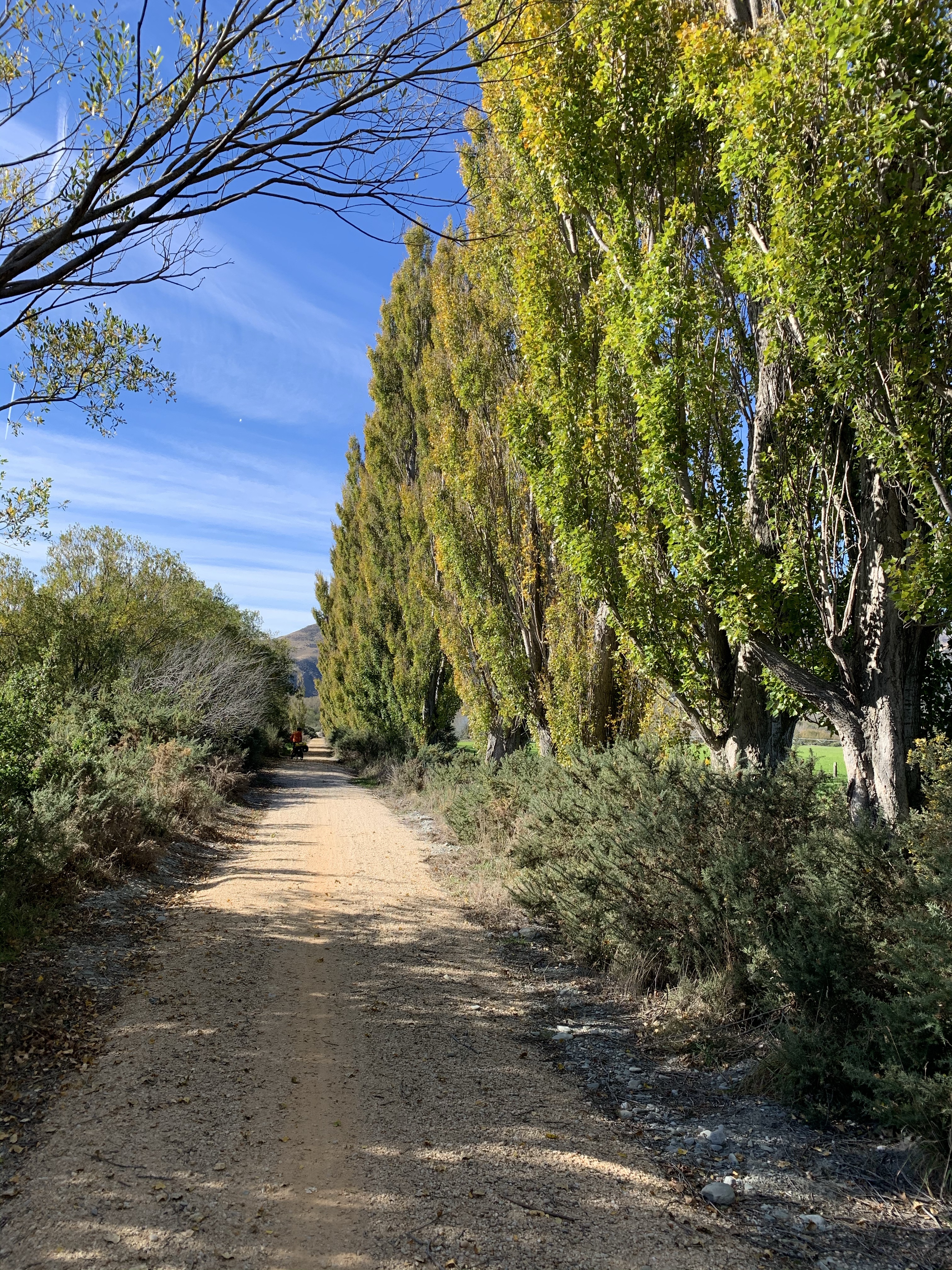
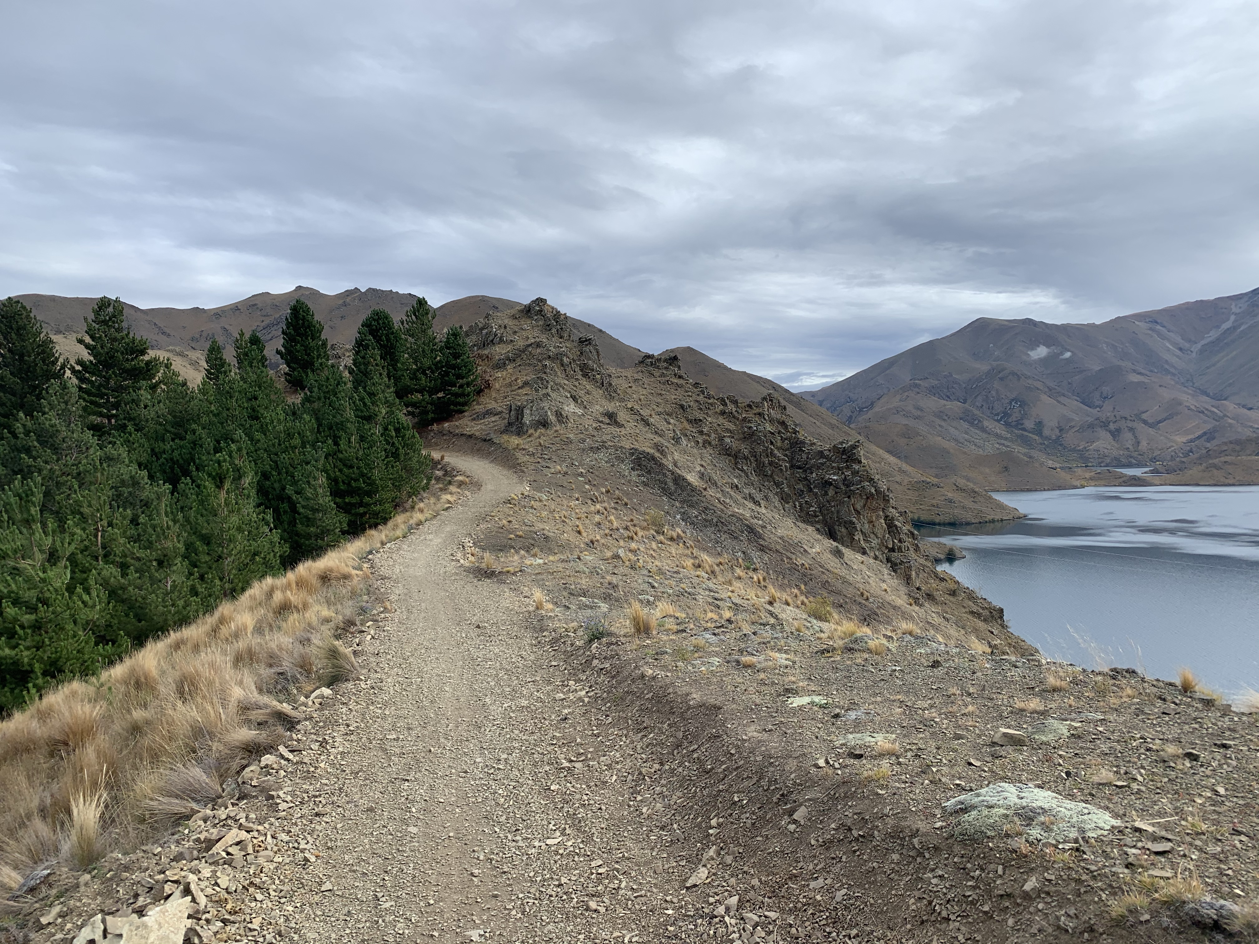
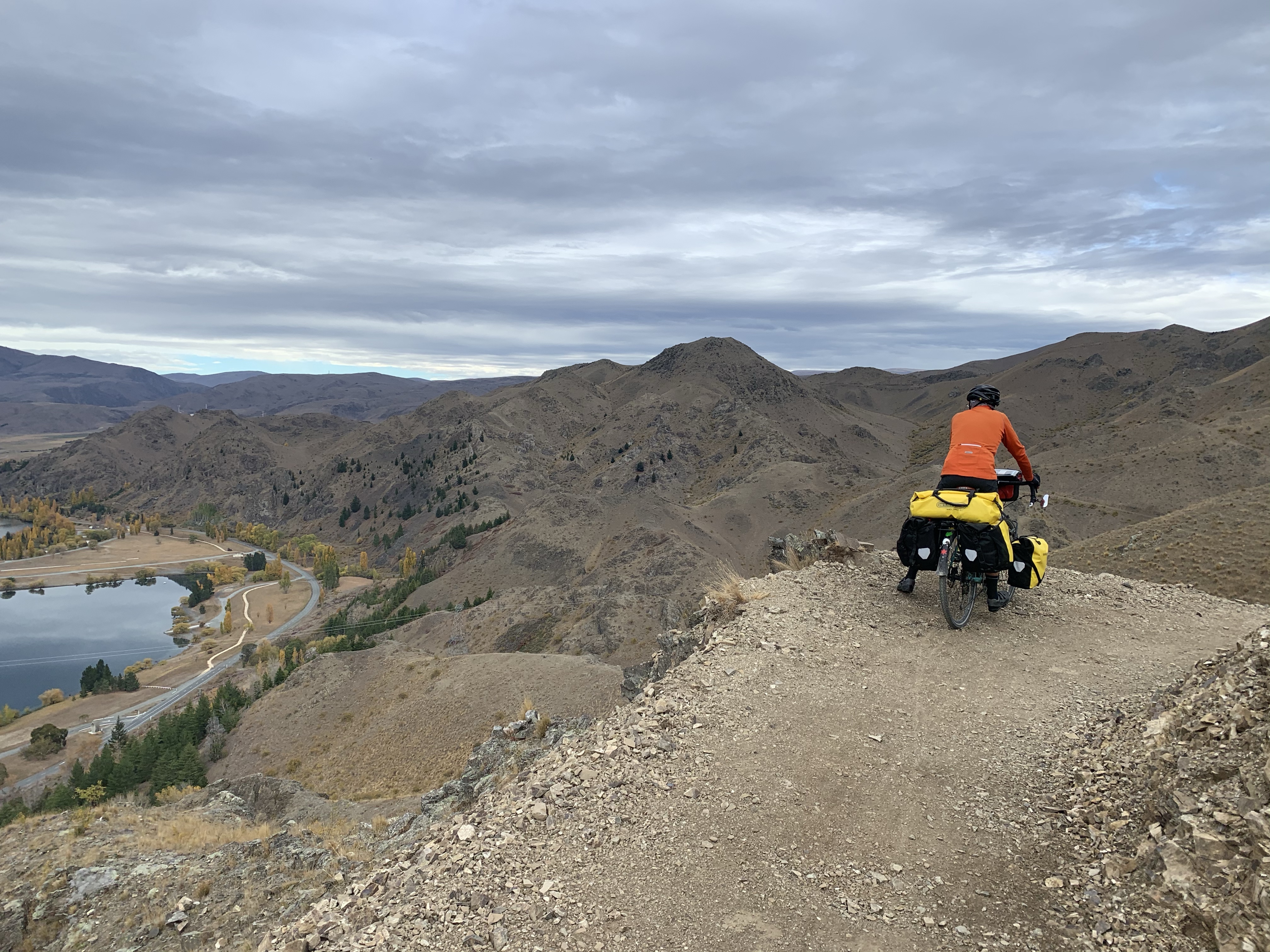
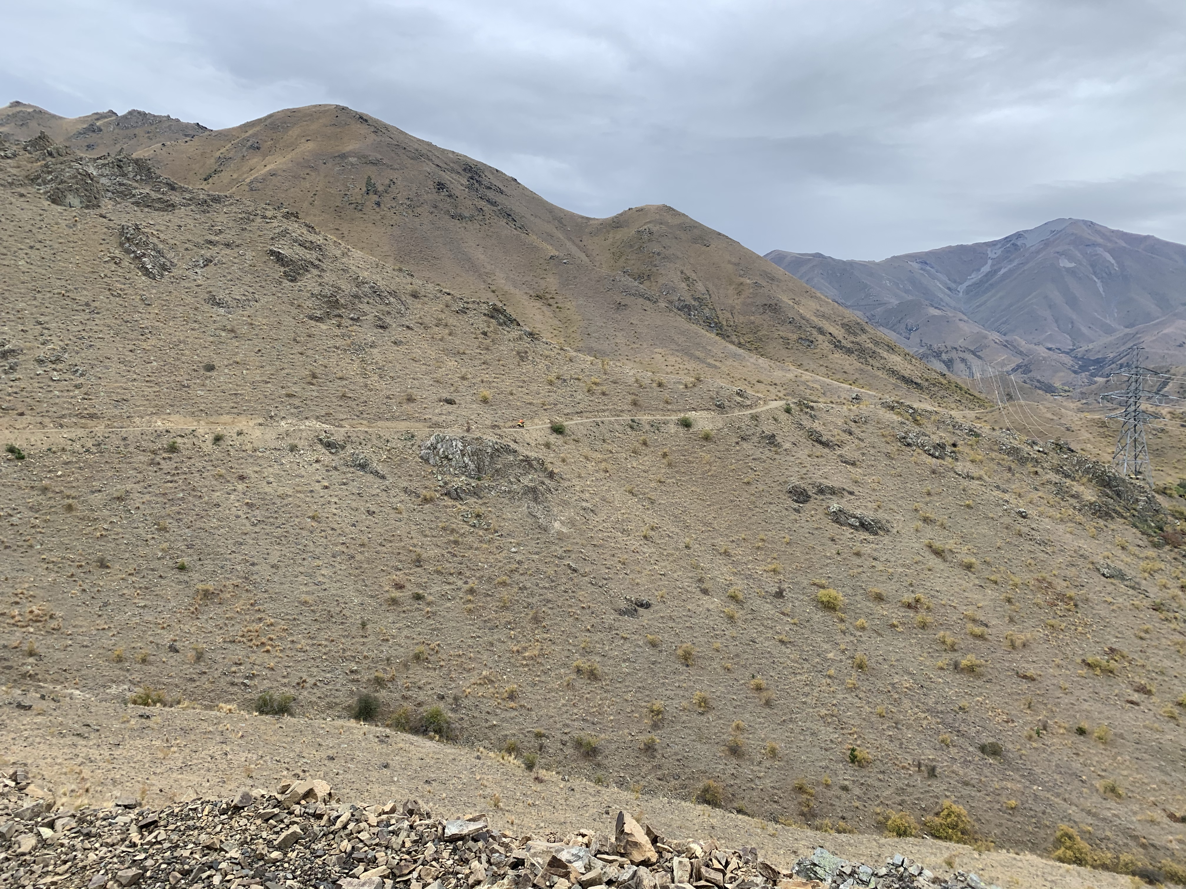
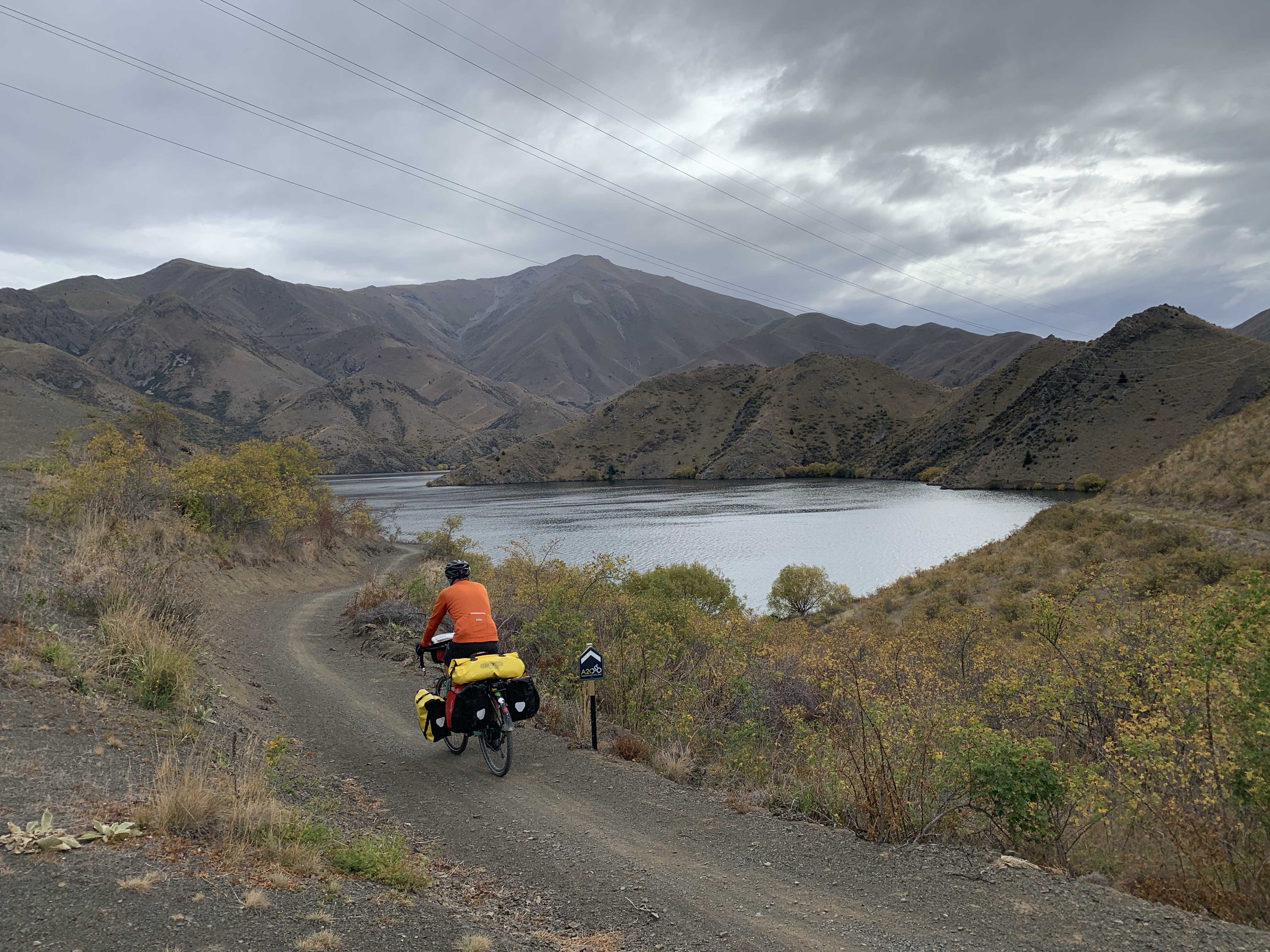
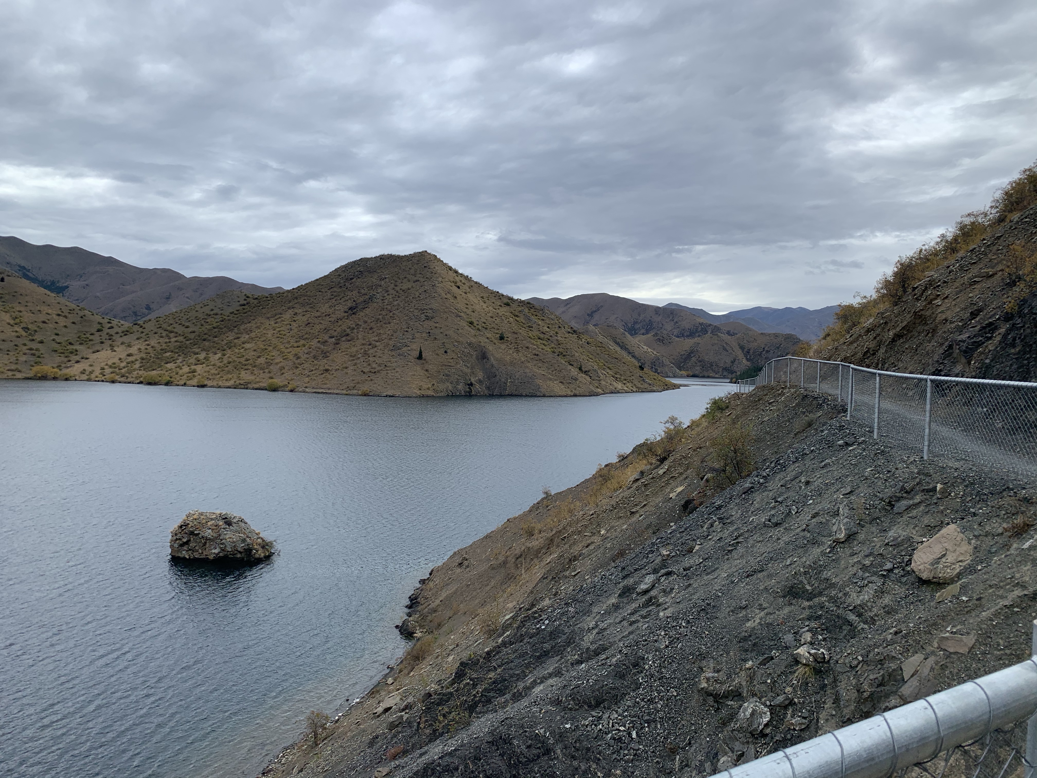
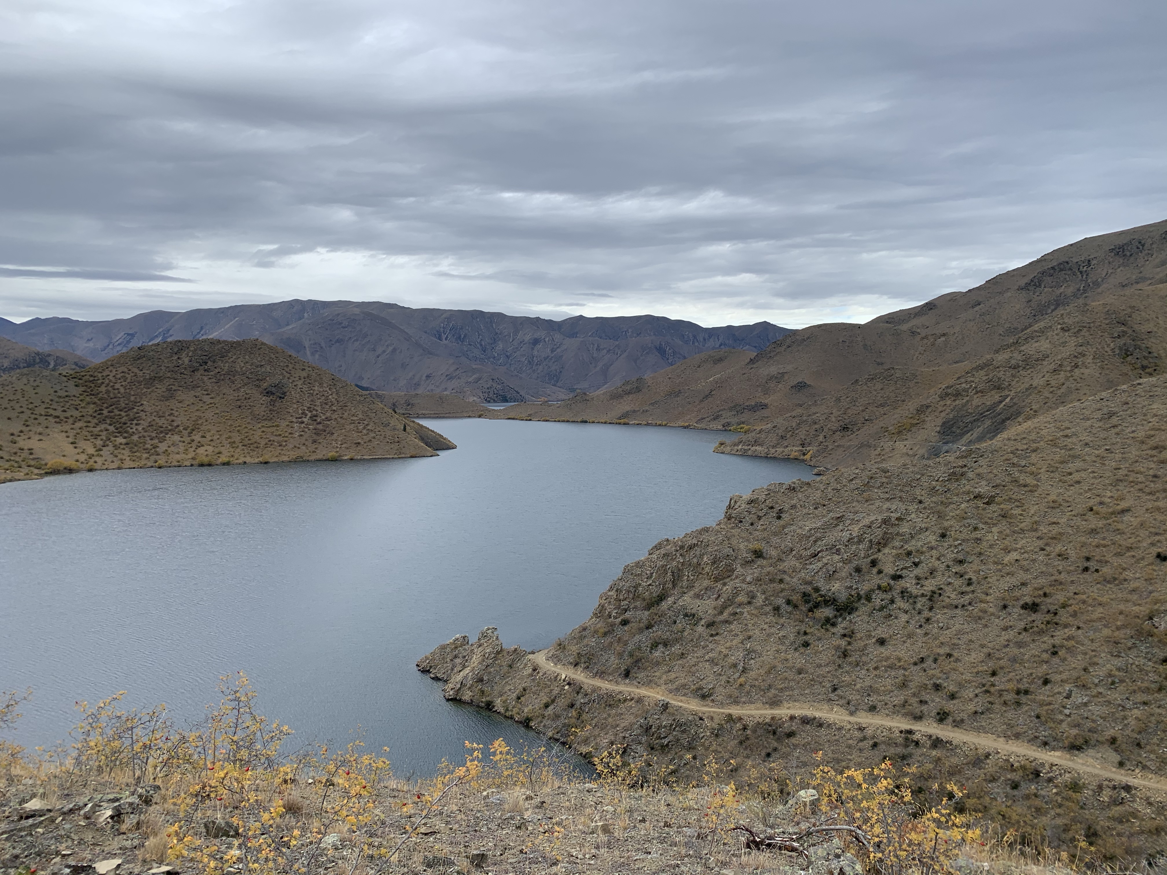
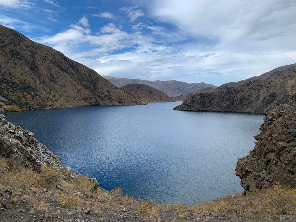
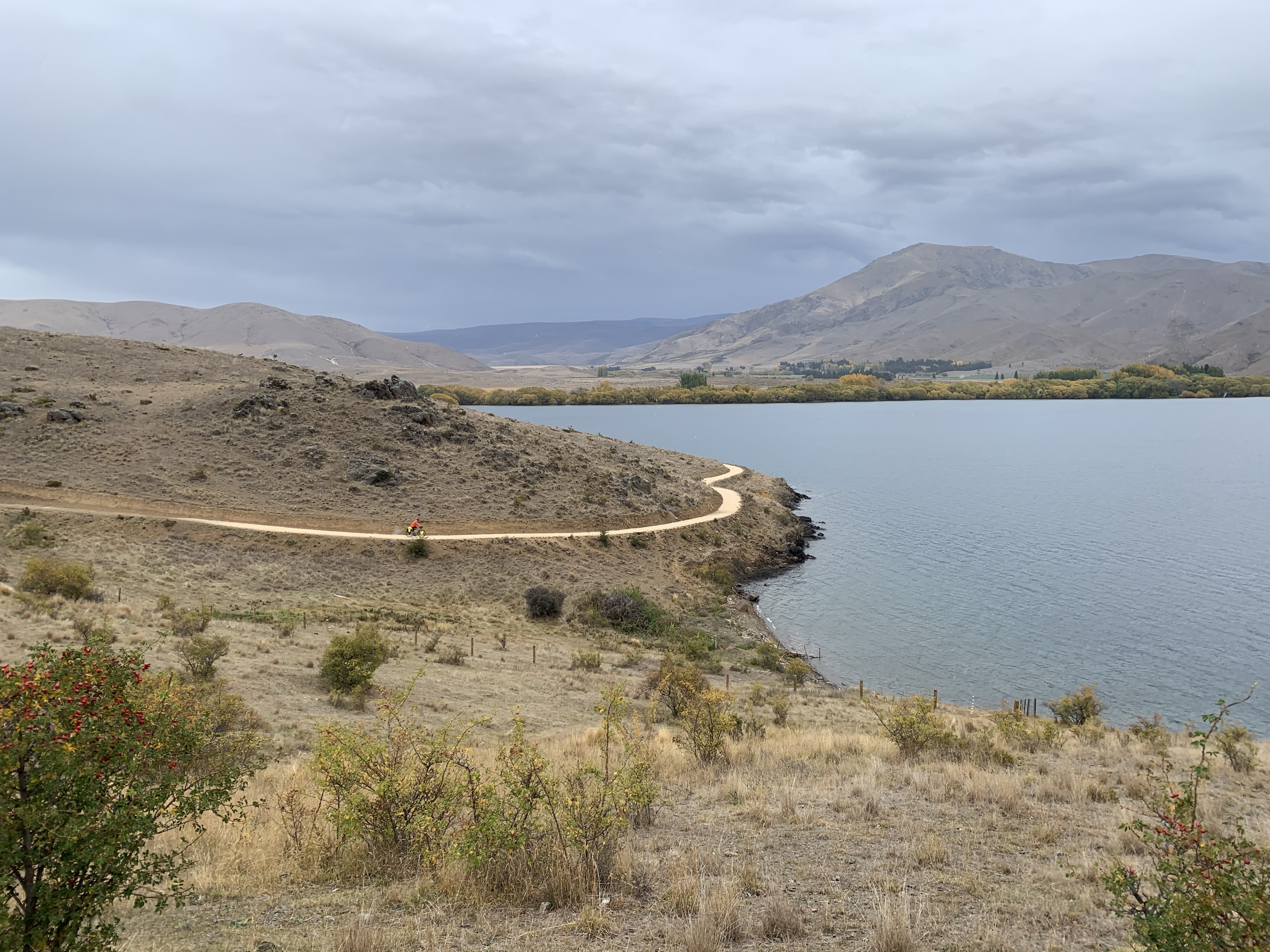
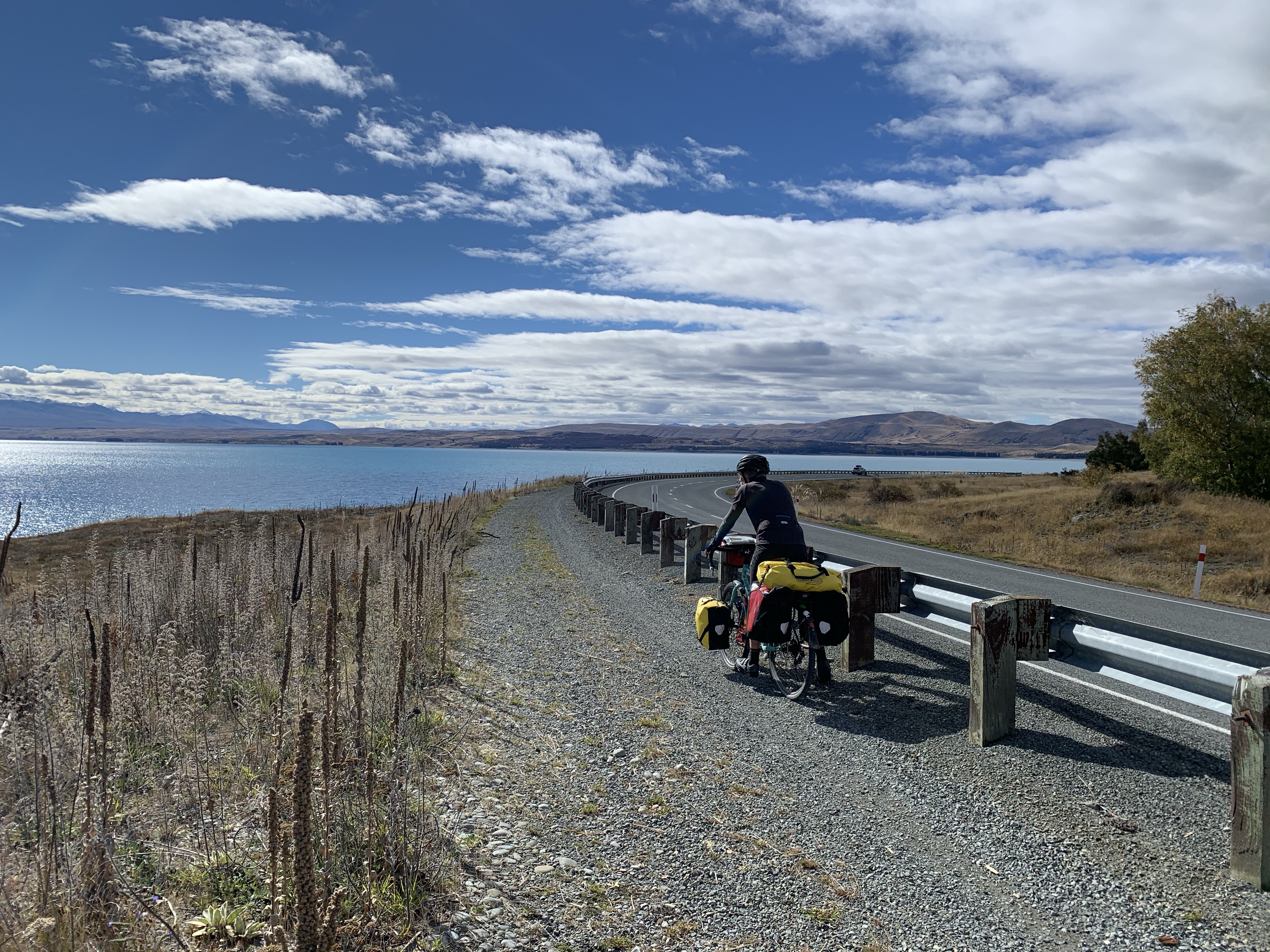
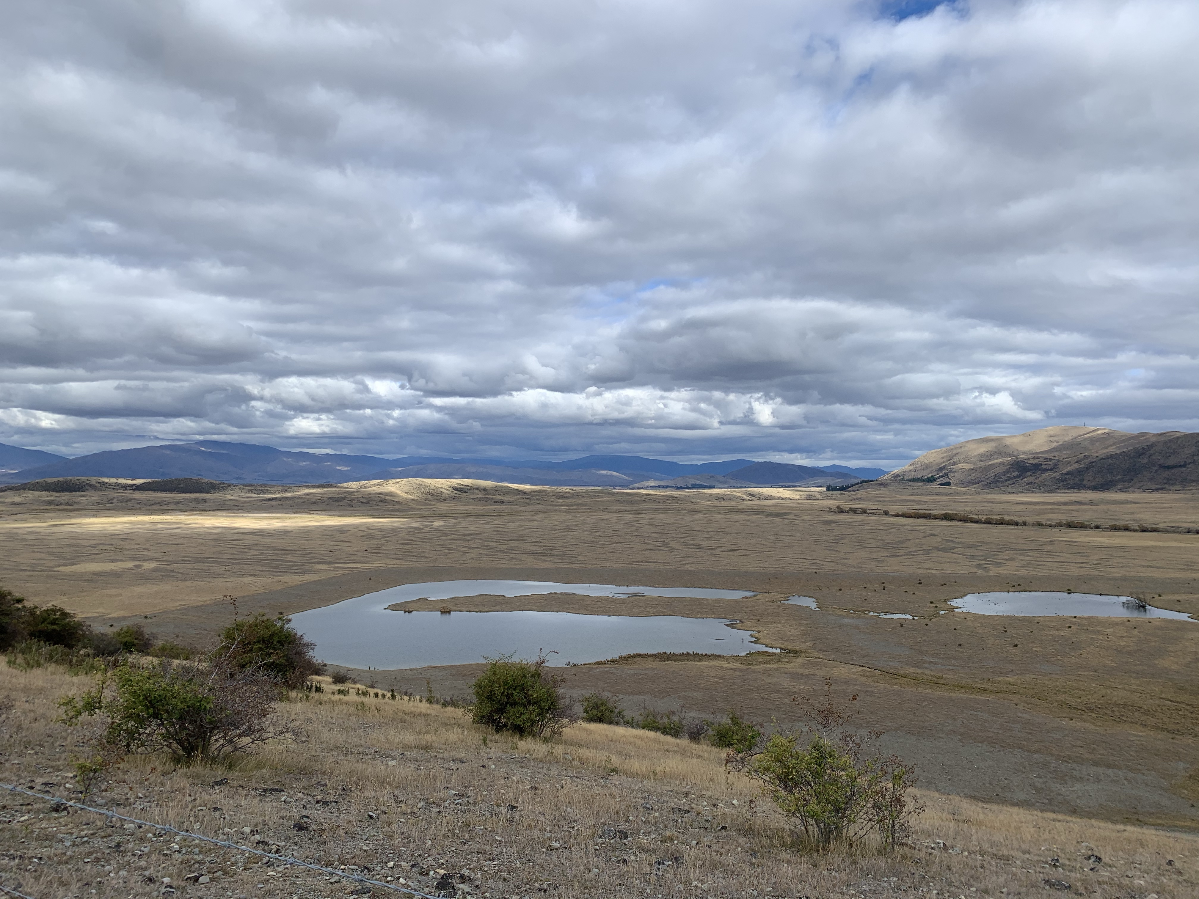
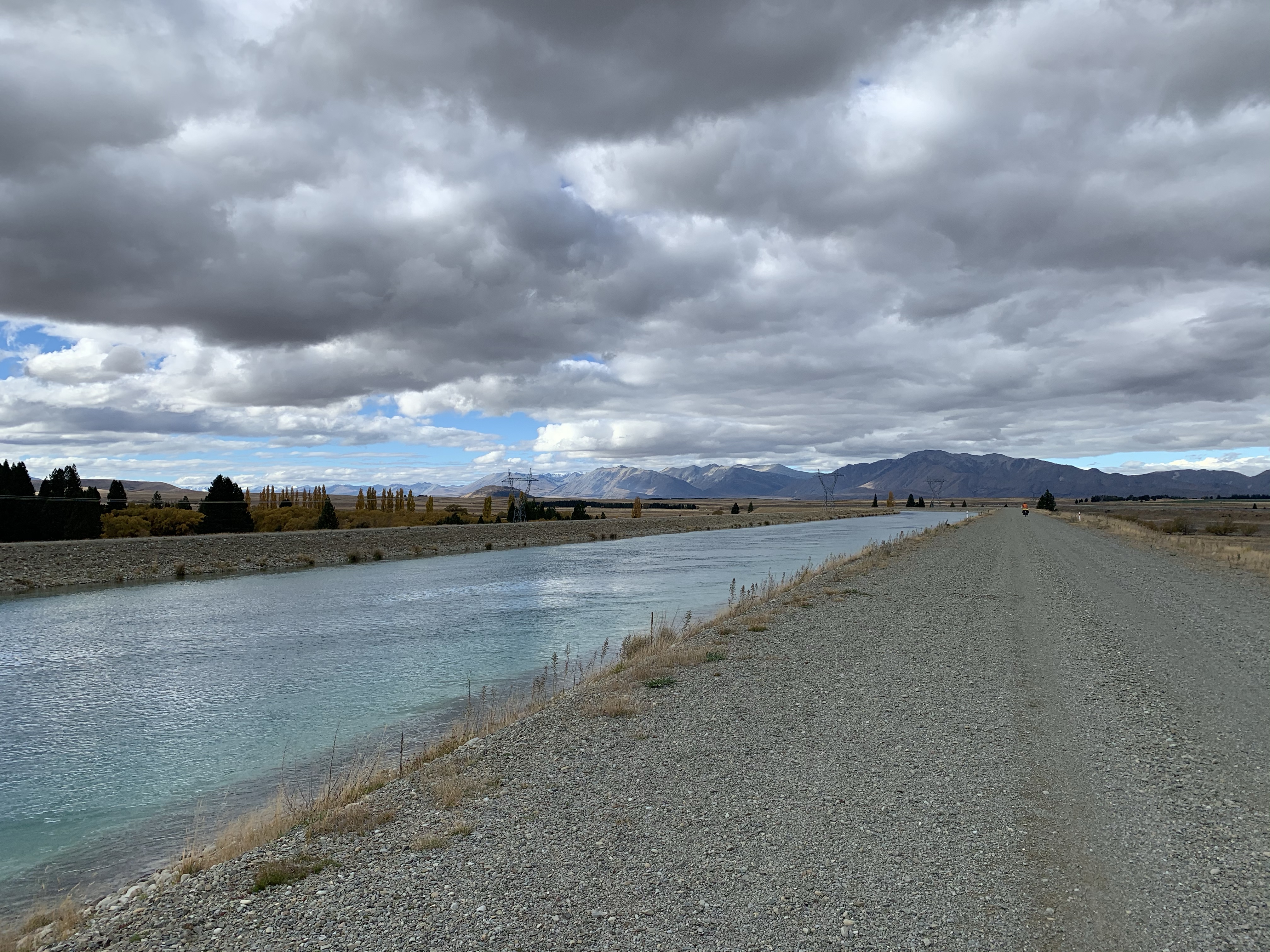
A new route through to Sailors Cutting has been cut through the hillside bordering Lake Benmore.
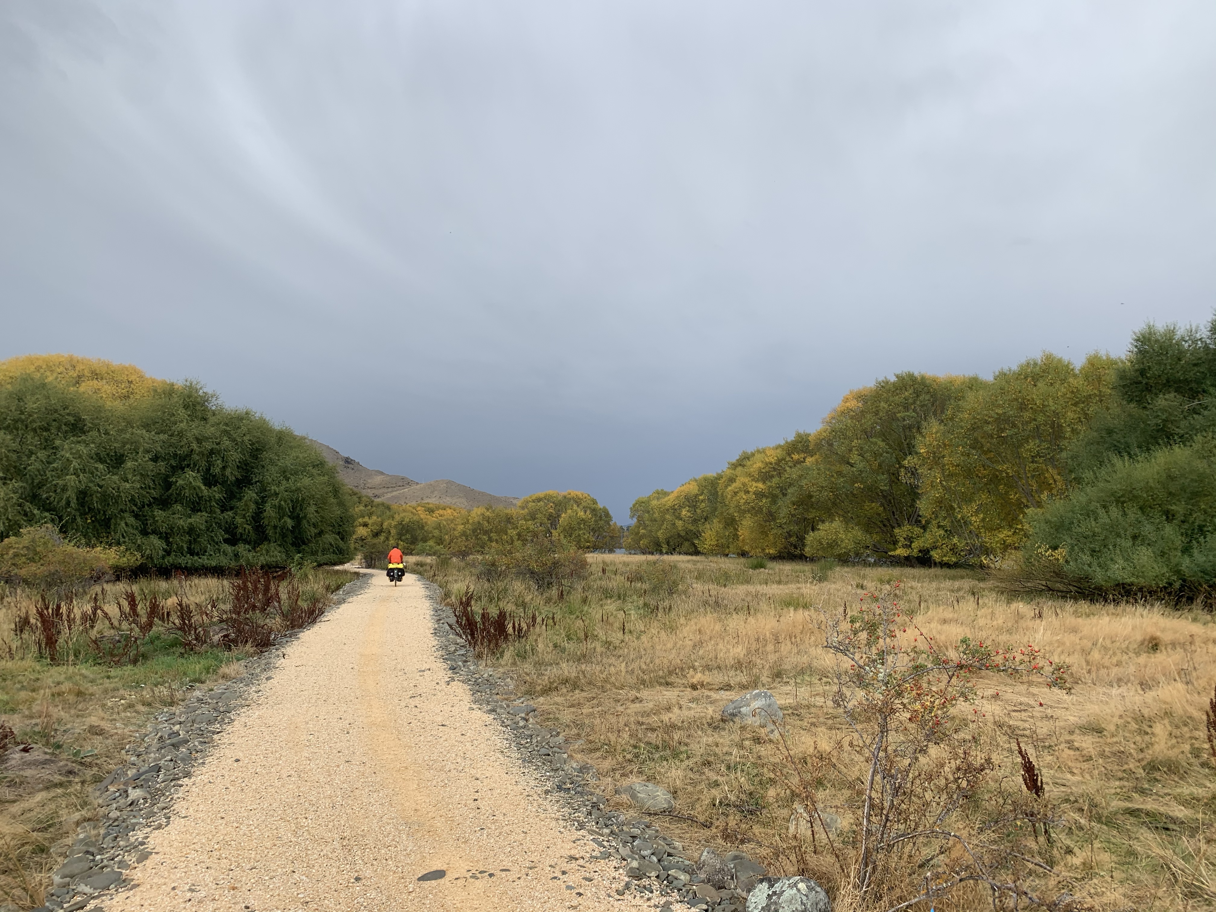
We had it all. Hills climbs, great switchbacks, narrow paths, sheer drops, rocky paths and suspended pathways mixed wide paths and flat riding with views to amaze.
My apologies for the many photos to come, there were just so many great views.
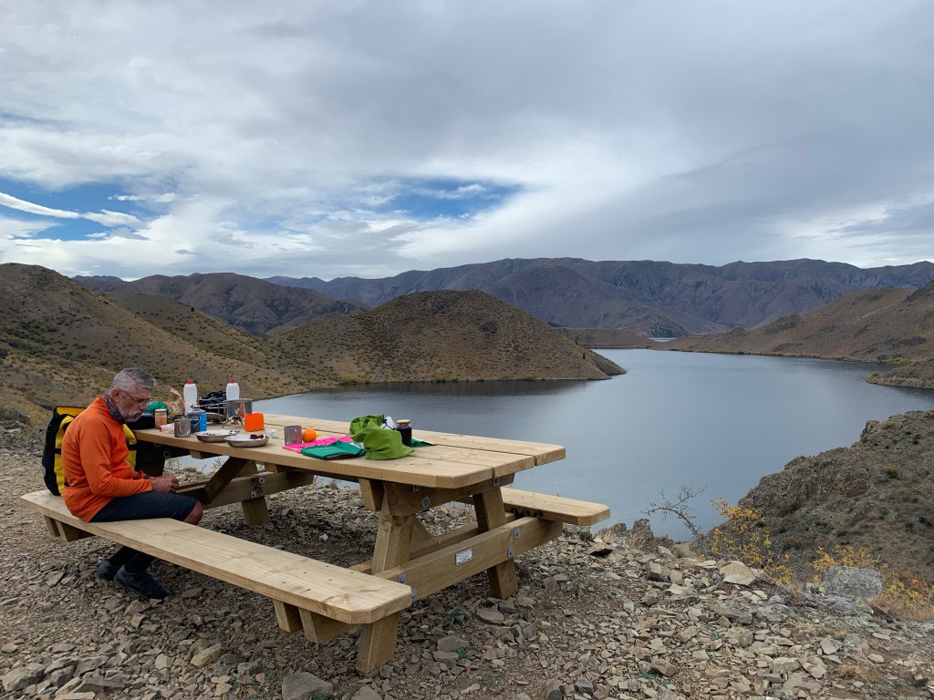
Lunch was at a perfectly positioned picnic table on a hilltop with more amazing views where I did today’s foraging – sun dried rosehips for our breakfasts.
Further down the trail I caught up with Greg (as Greg usually goes ahead of me while we are on a trail), stopped on the trail with his panniers in disarray falling off the back.
He had clipped one of the rocky outcrops and that had upset the panniers. (I heard the next day that he had gone over the handlebars and his bike had come a cropper in the tumble hence the askew panniers. So glad he didn’t get hurt).
The rain finally managed to arrive on the last leg into Omarama. Oh well, a cosy cabin it will be… heater on and clothes drying out.
We are missing out the section ride to Lake Oahu. The word on the road was the track was very gravelly and with the rain it wouldn’t be a pretty ride with loaded bikes. So Twizel it is.
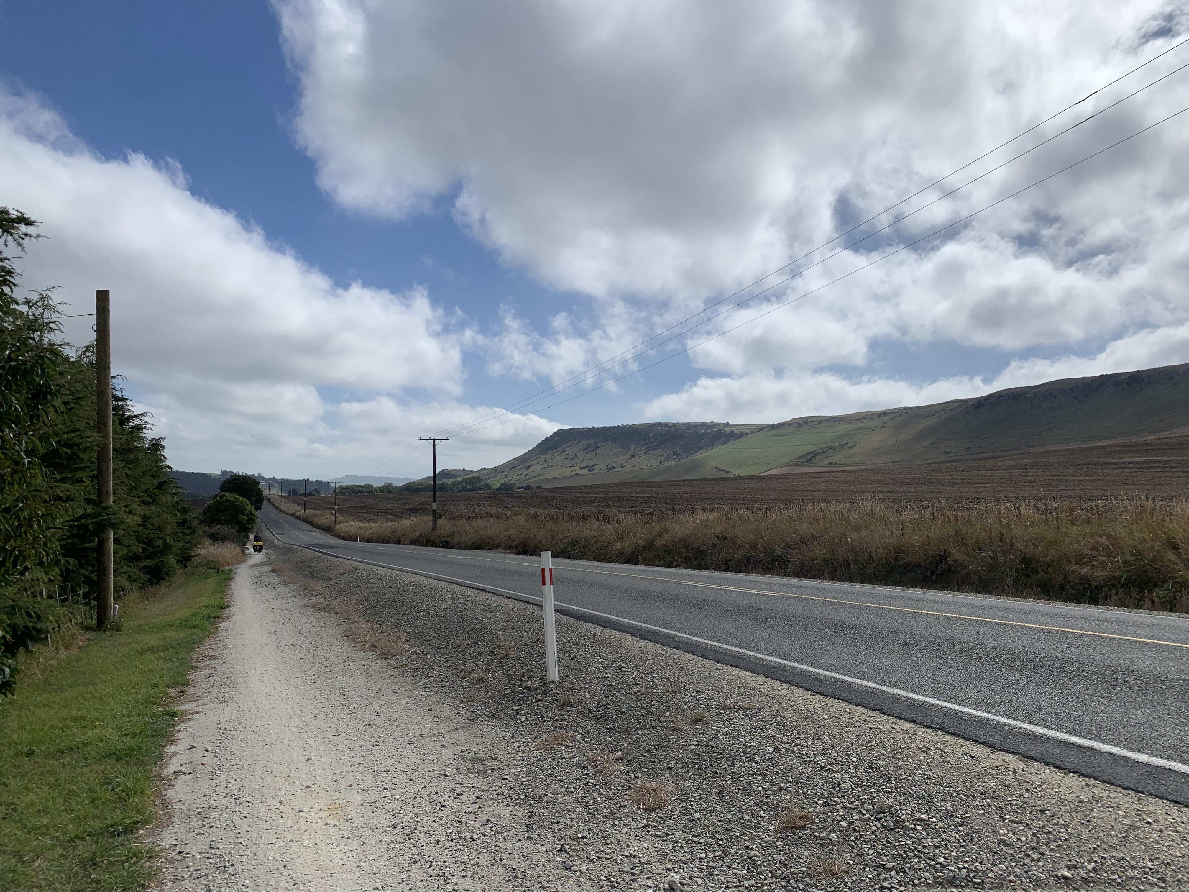
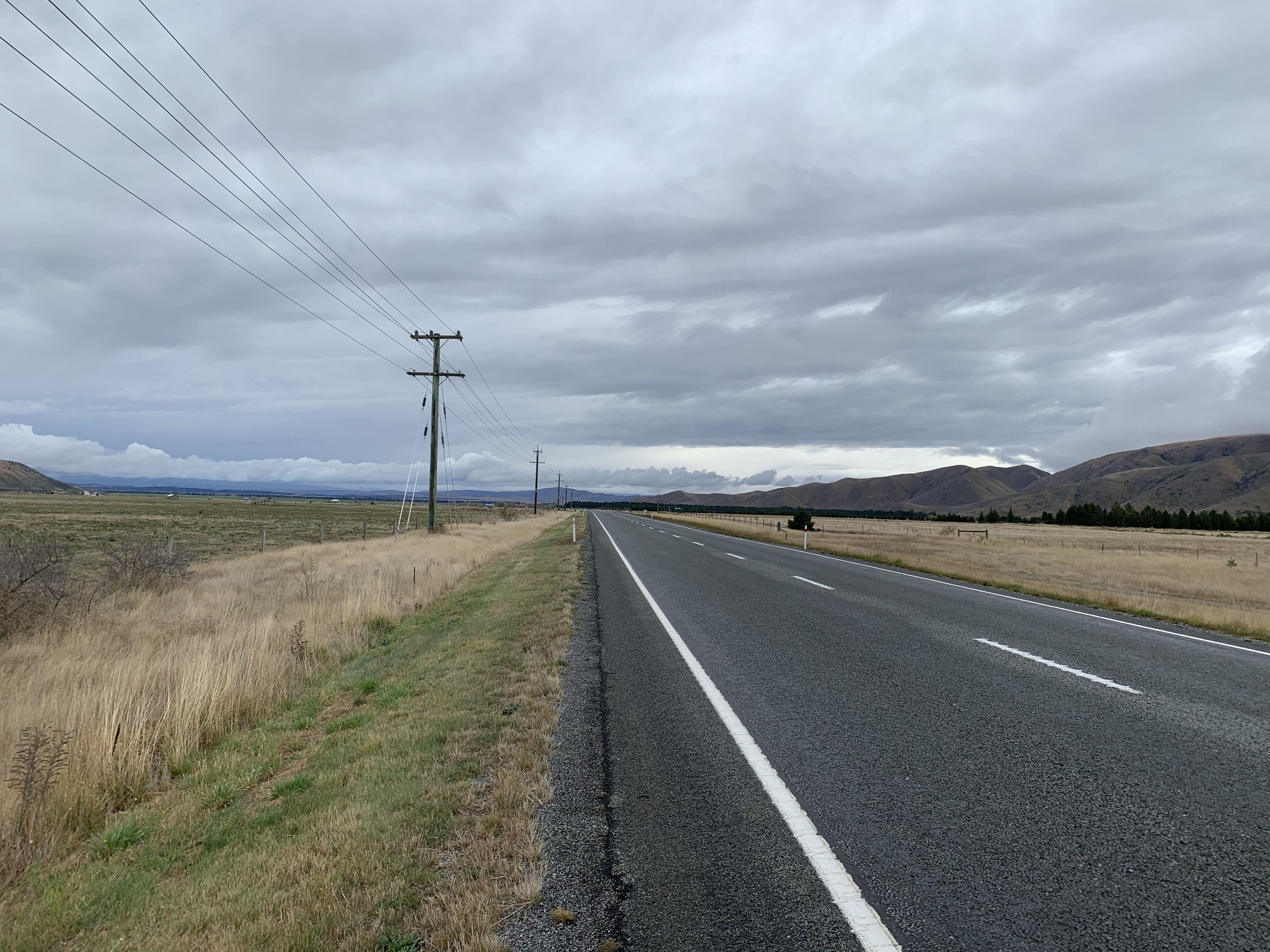
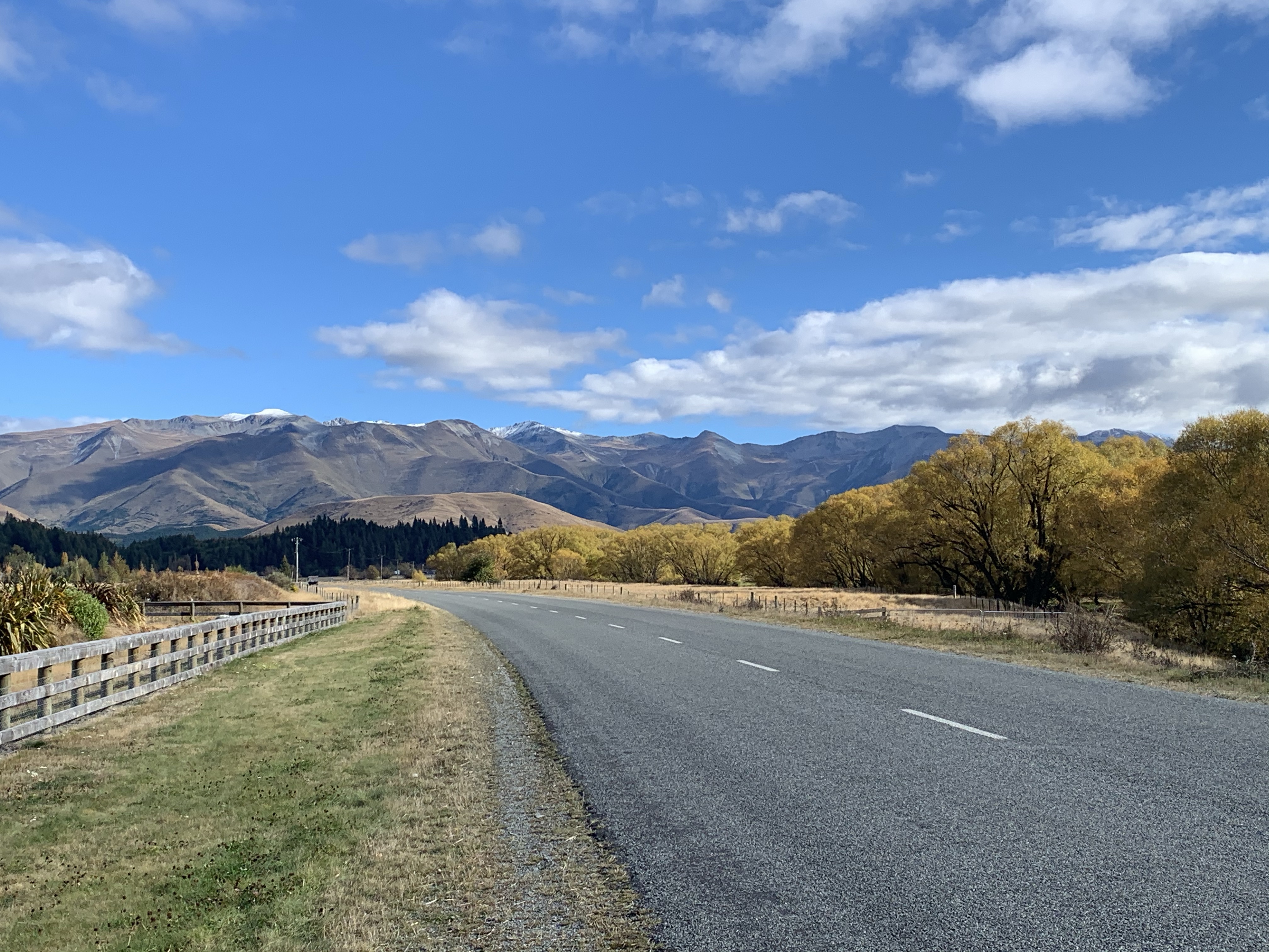
Although a bit rainy in the morning it did clear making it a cool but lovely ride to Twizel. Even better my thoughts of a 44 km ride turned out to be only 30 kms – bonus!!
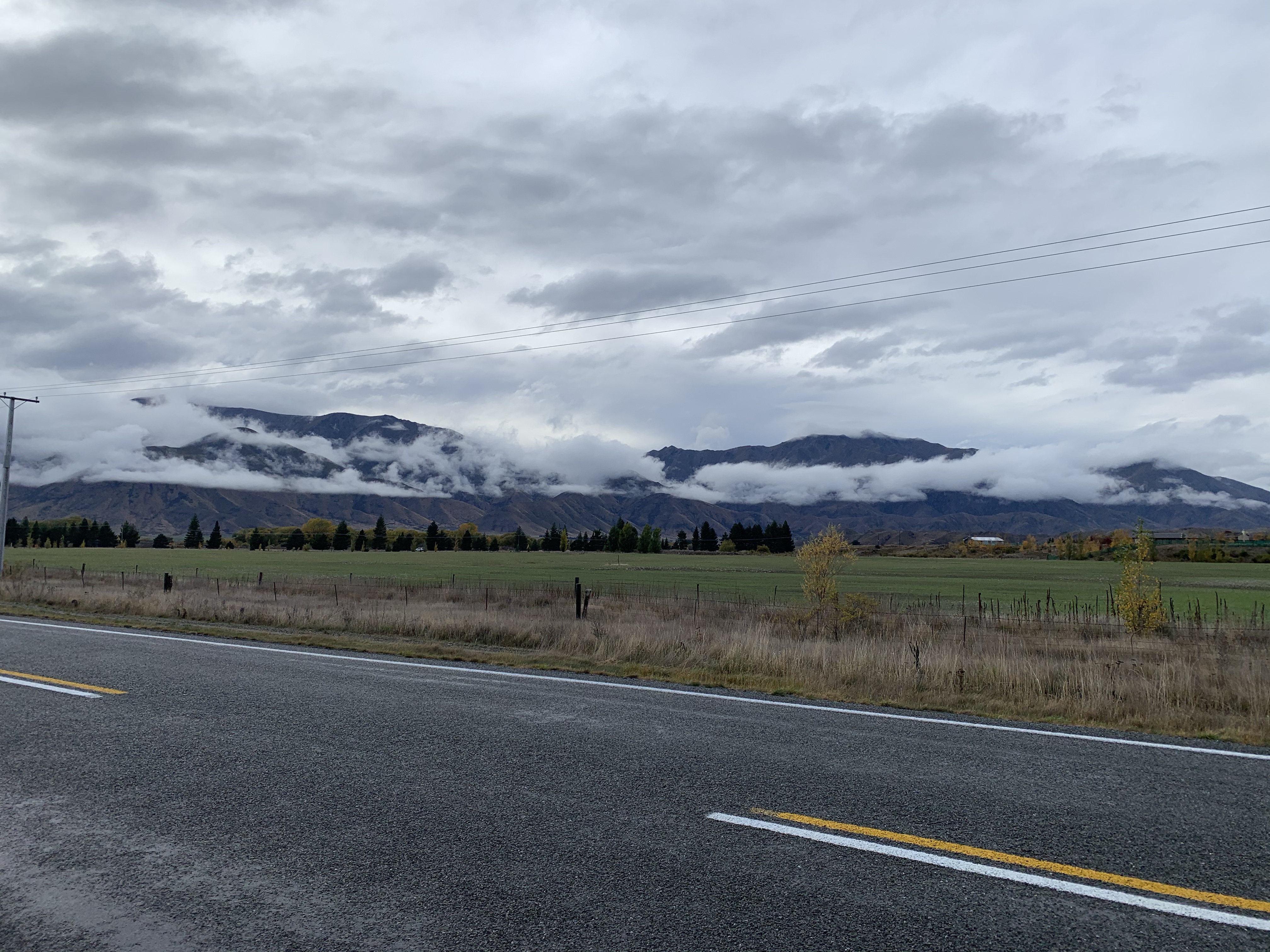
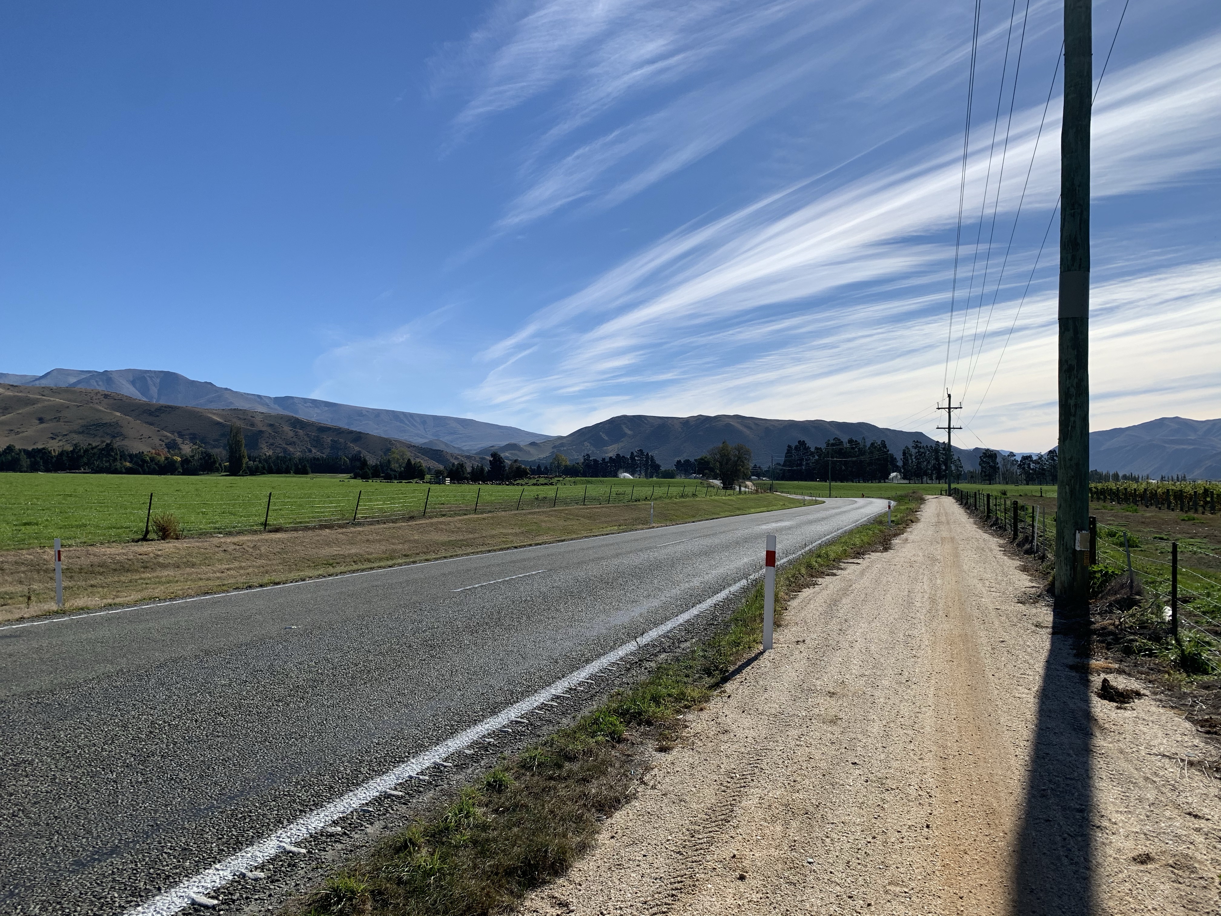
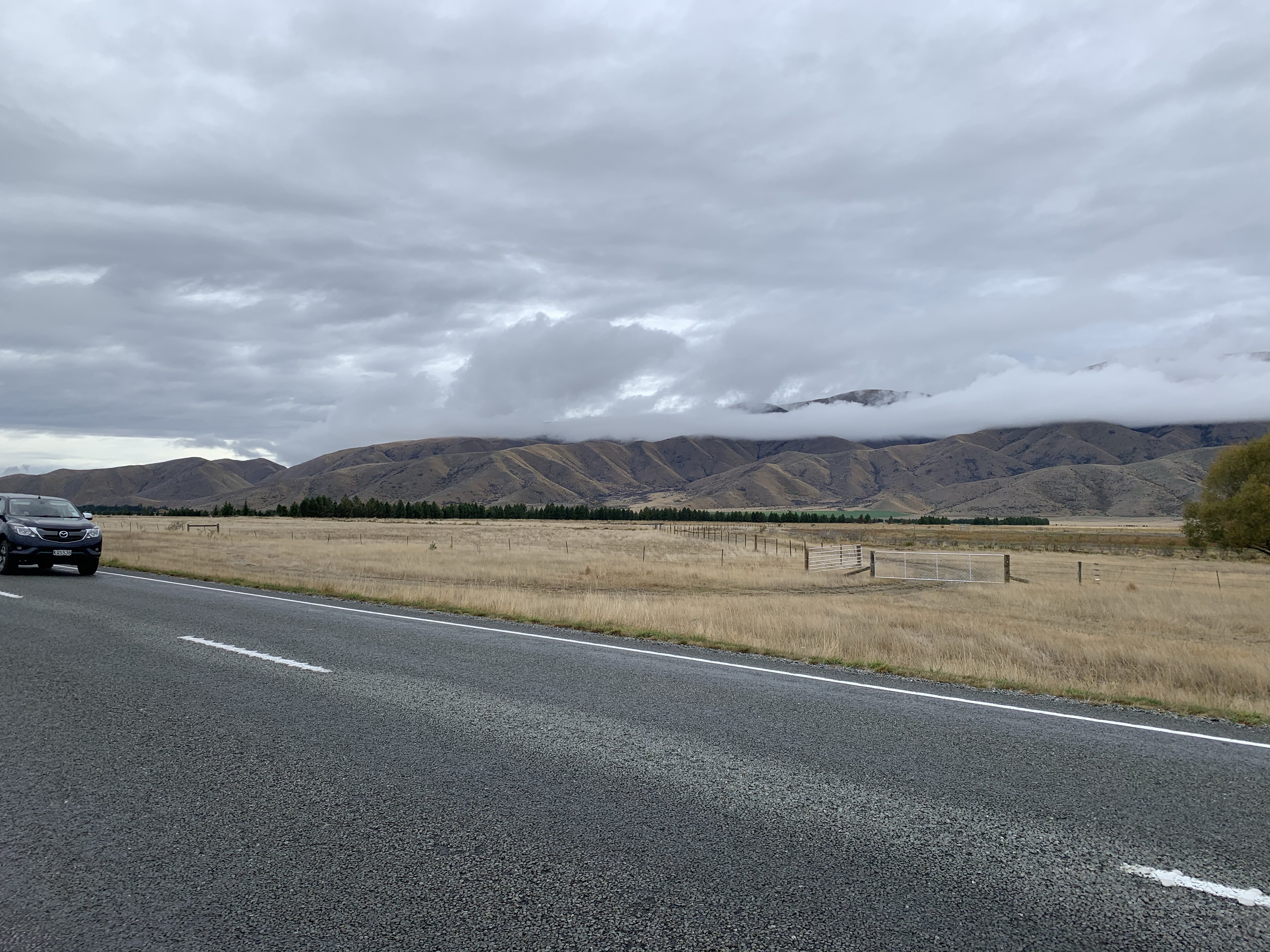
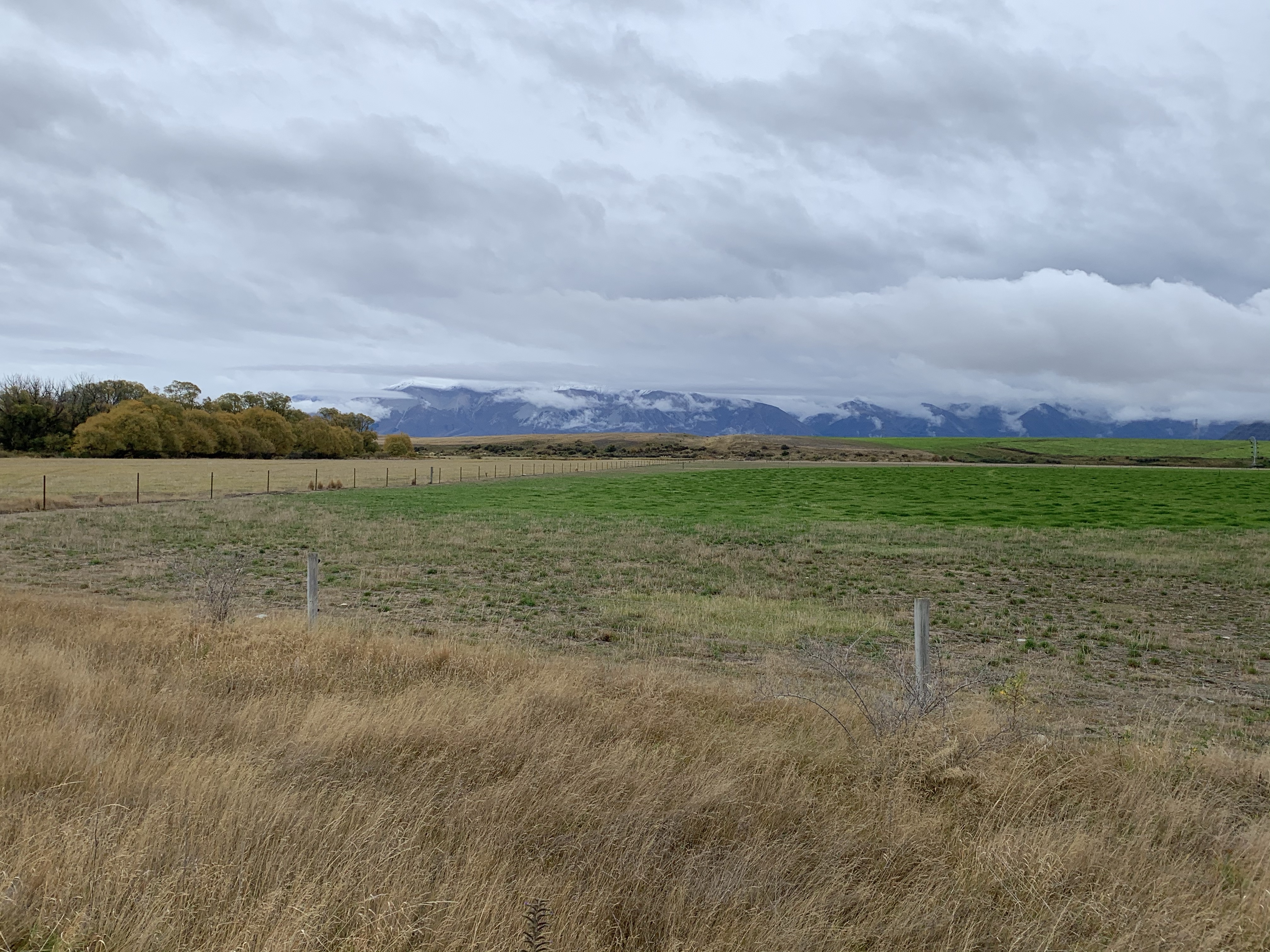
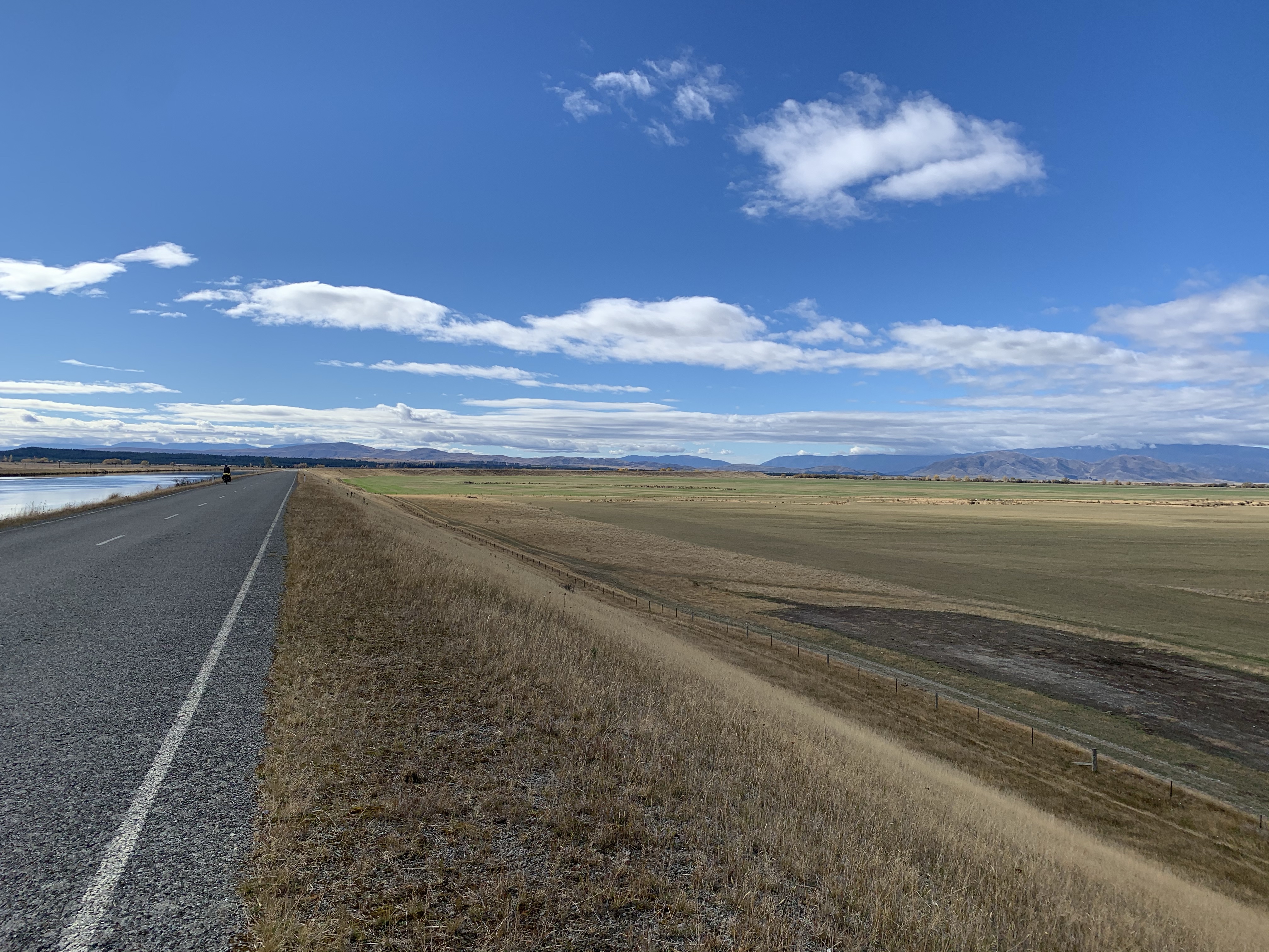
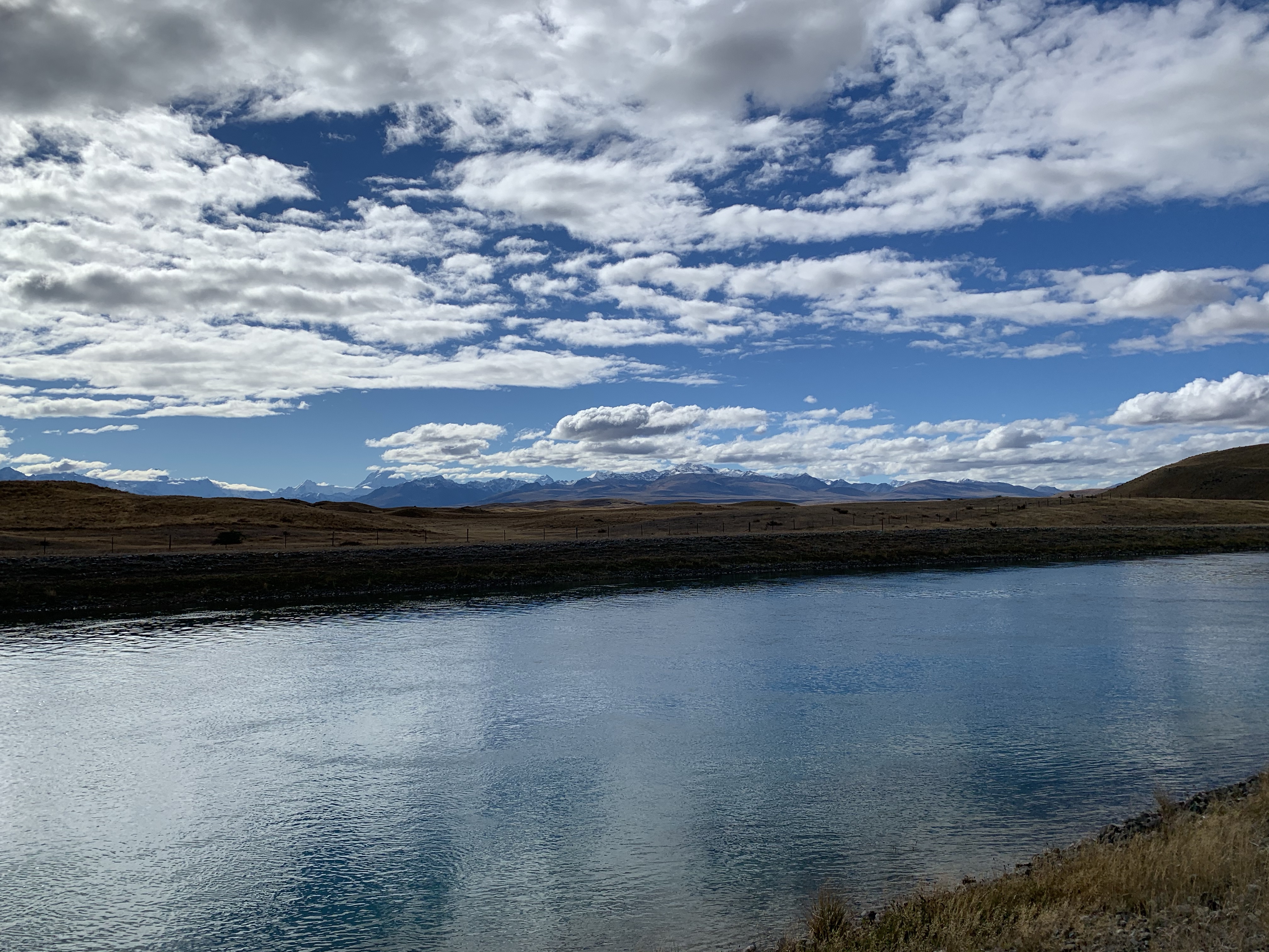
It was a very flat ride with cloud covered mountains from the Diadem Range in one side and the Benmore Range on the other.
As we rode into Twizel, Roger and Laura passed us as they were leaving. A quick turn around and we headed to lunch together. What are the chances – the third we have randomly meet. So enjoying their company, sharing stories and photos. Till we meet again!
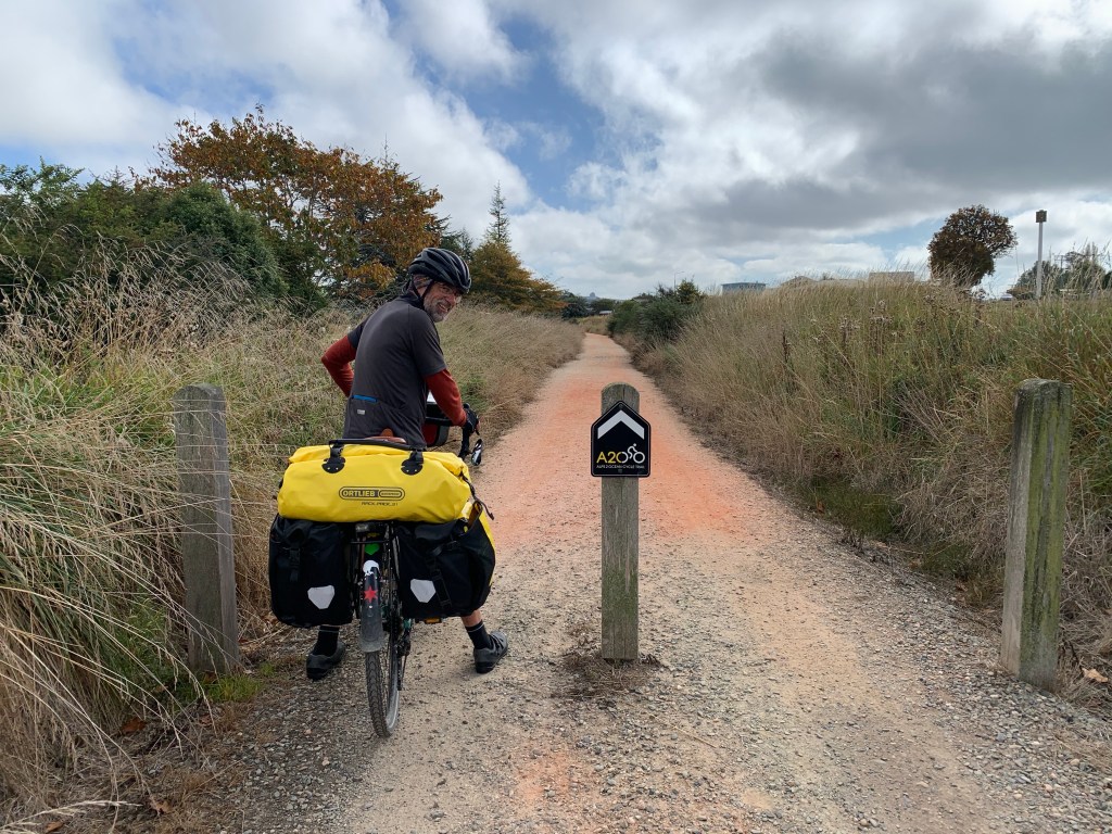
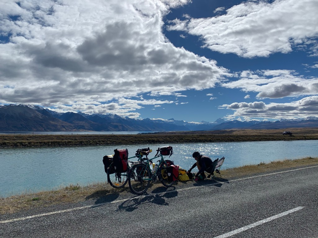
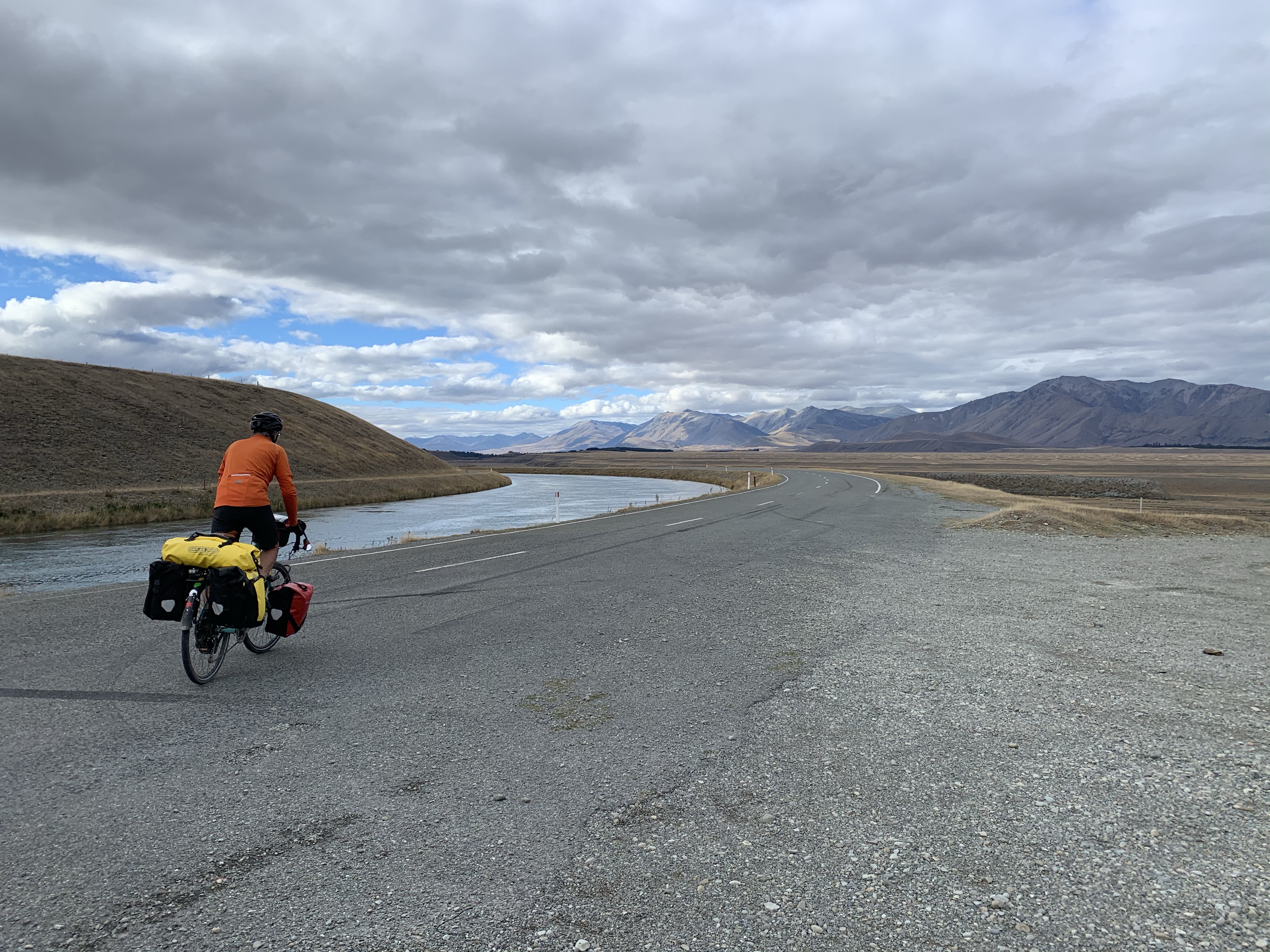
Leaving Twizel, we spotted an A2O sign to follow – bonus! Captivated by the beautiful mountains, we rode 5 kms meeting up with the canals and a sign to turn left. This didn’t feel right with good reason. We’re heading to Lake Oahu – wrong direction!
With a bit of help from Mr Google, we worked out we could take the canal road going in the opposite direction. Great choice. It was tarsealed and flat right through to the bottom of Lake Pukaki.
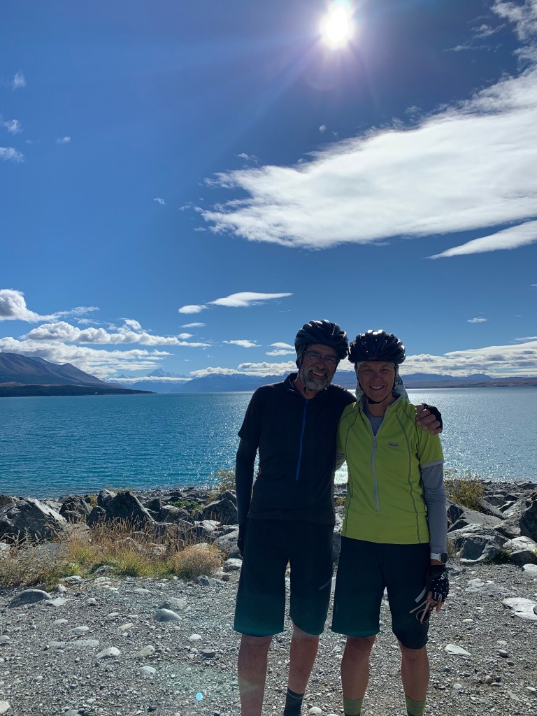
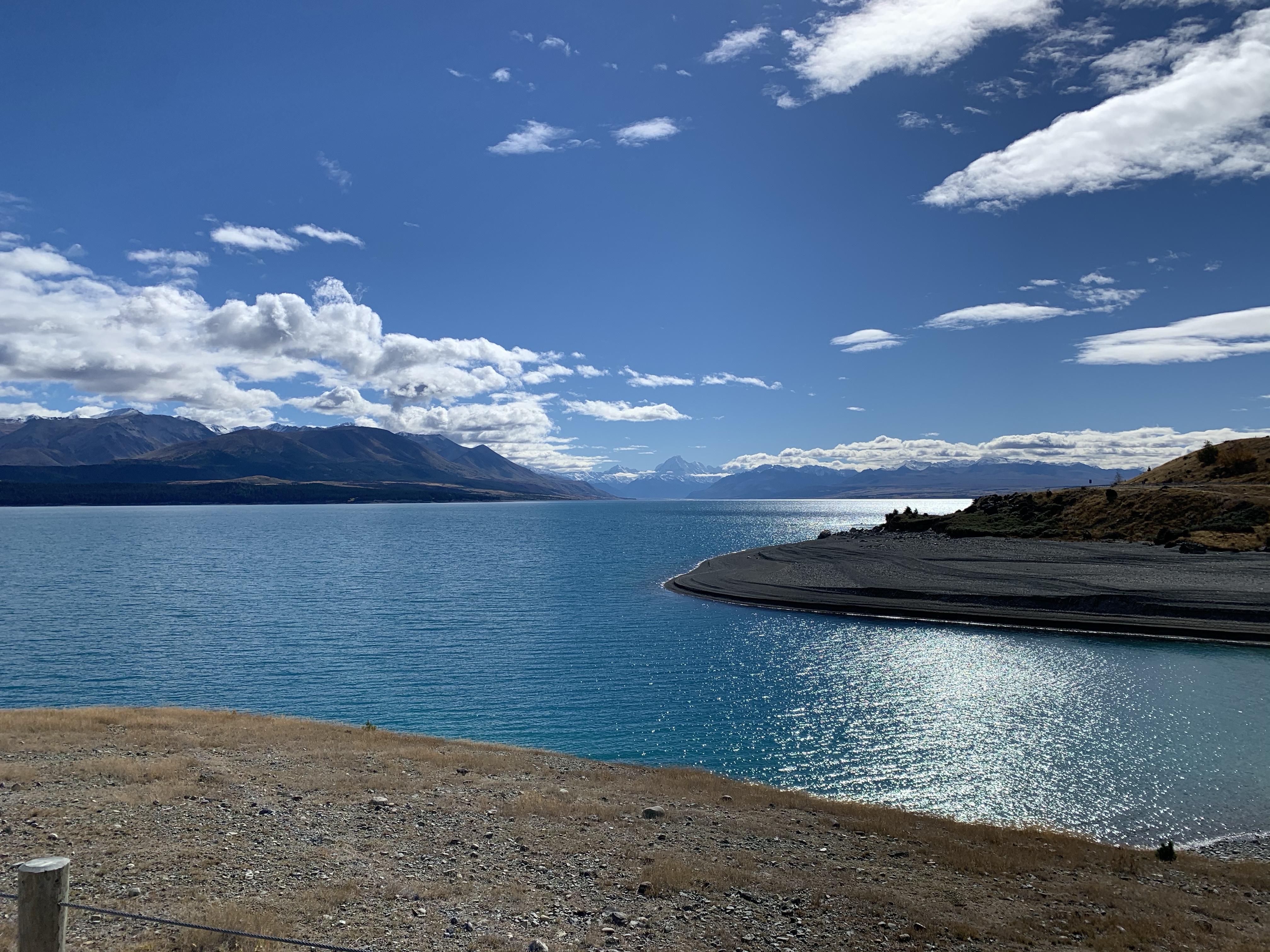
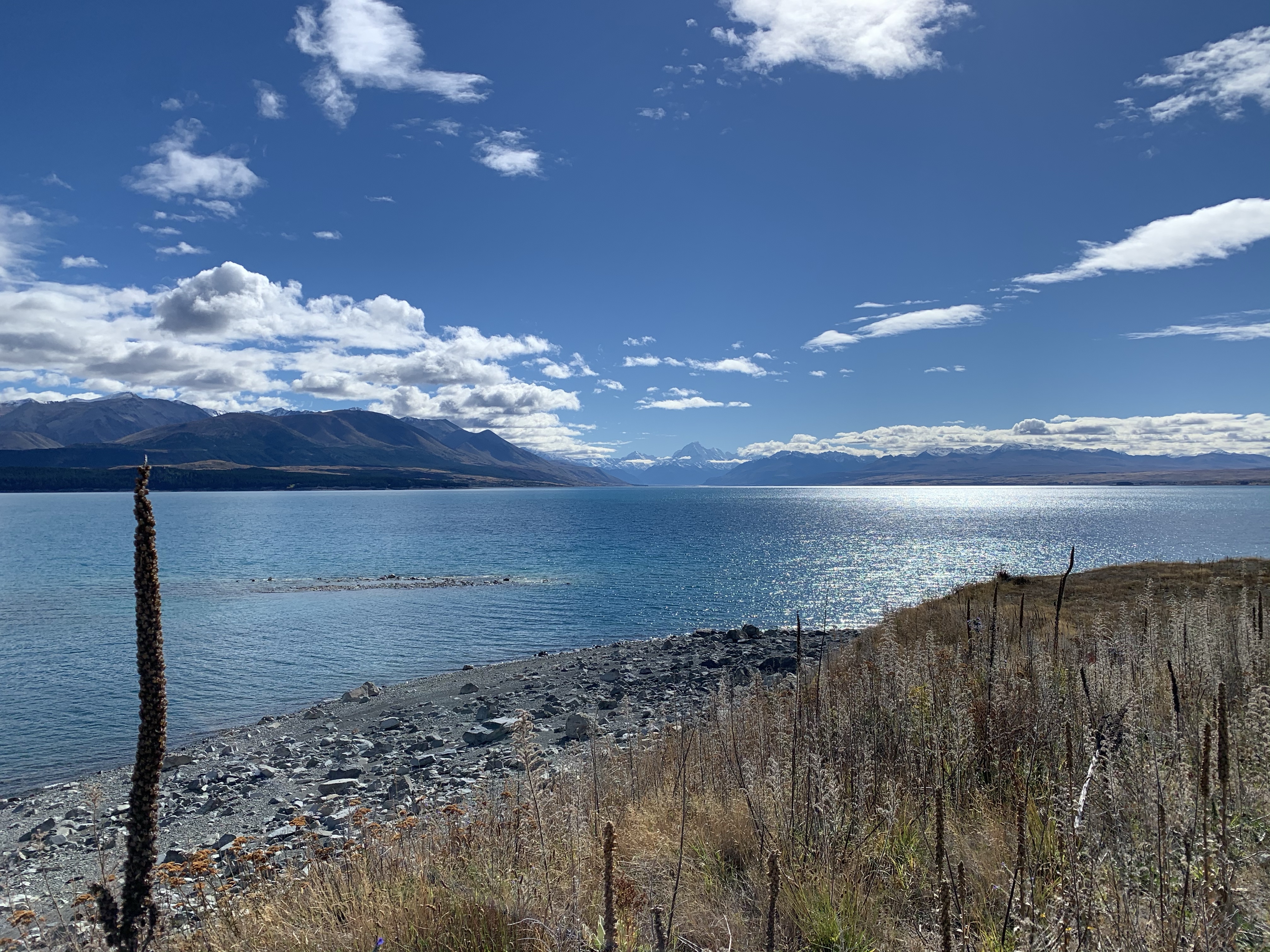
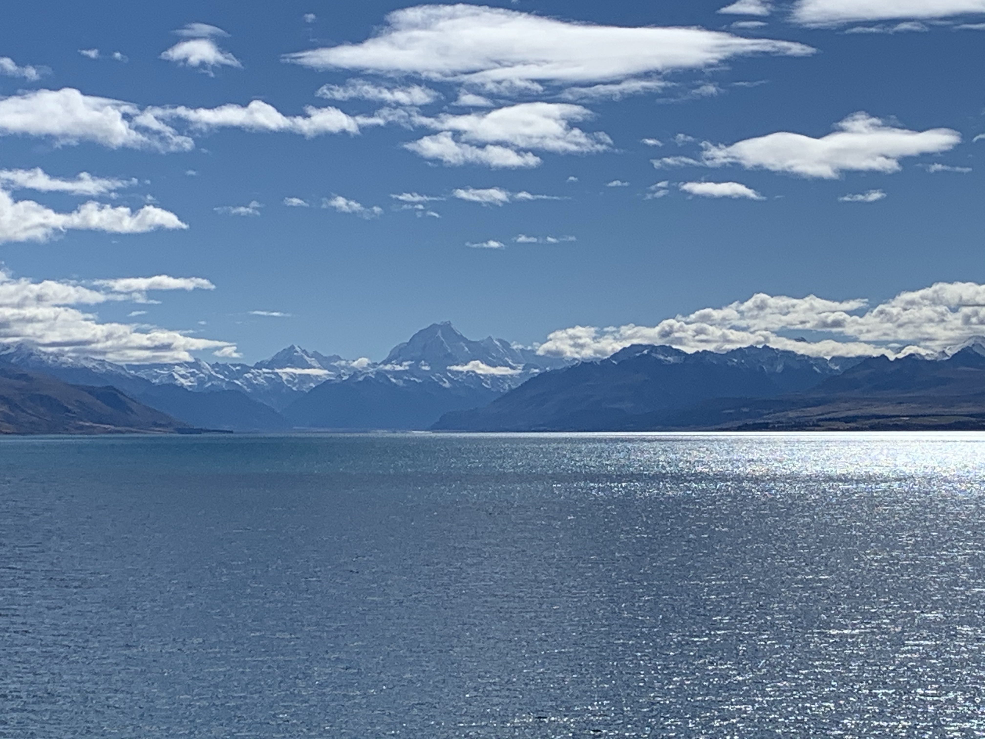
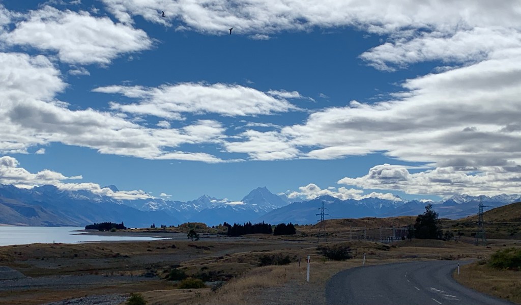
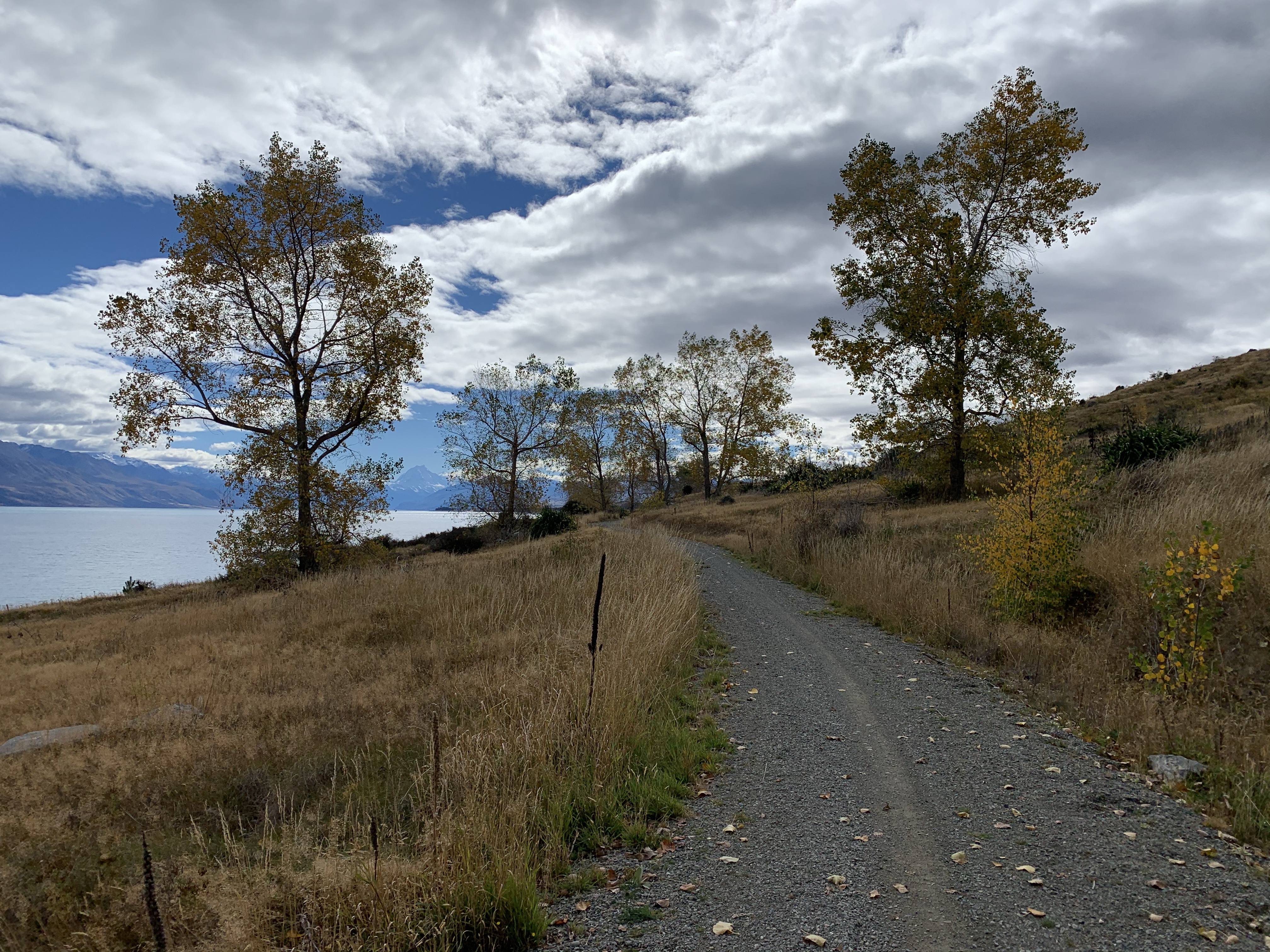
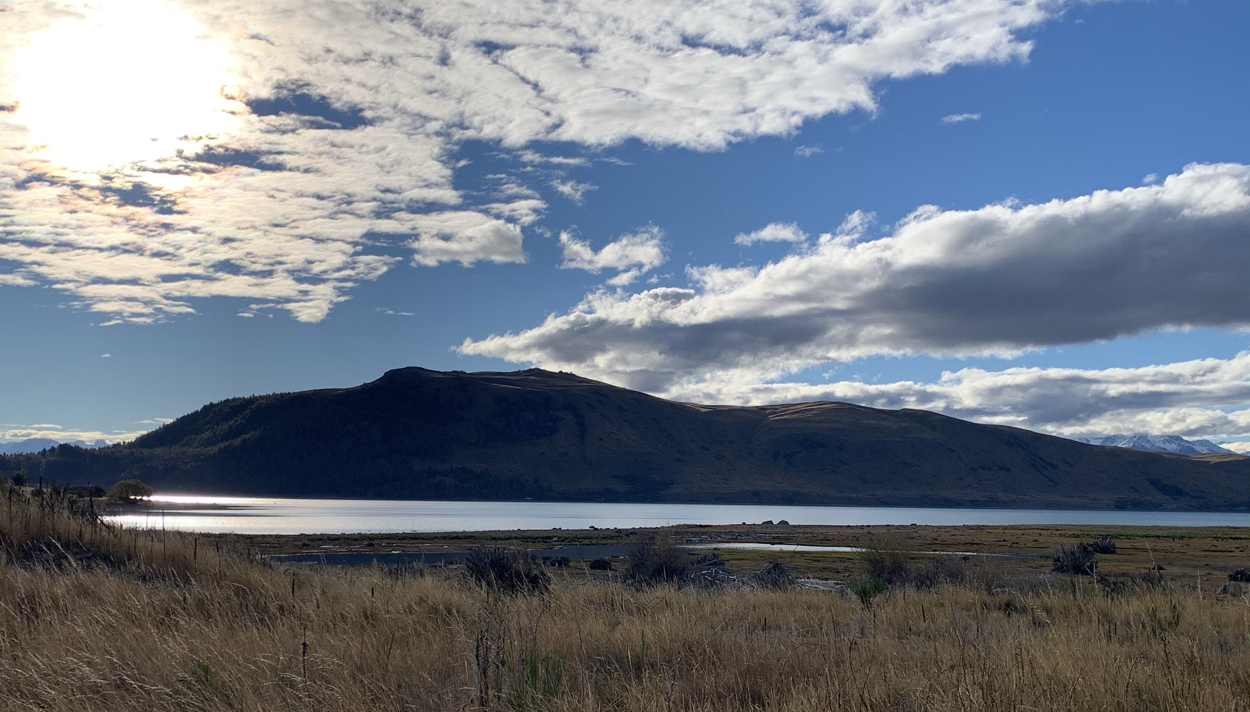
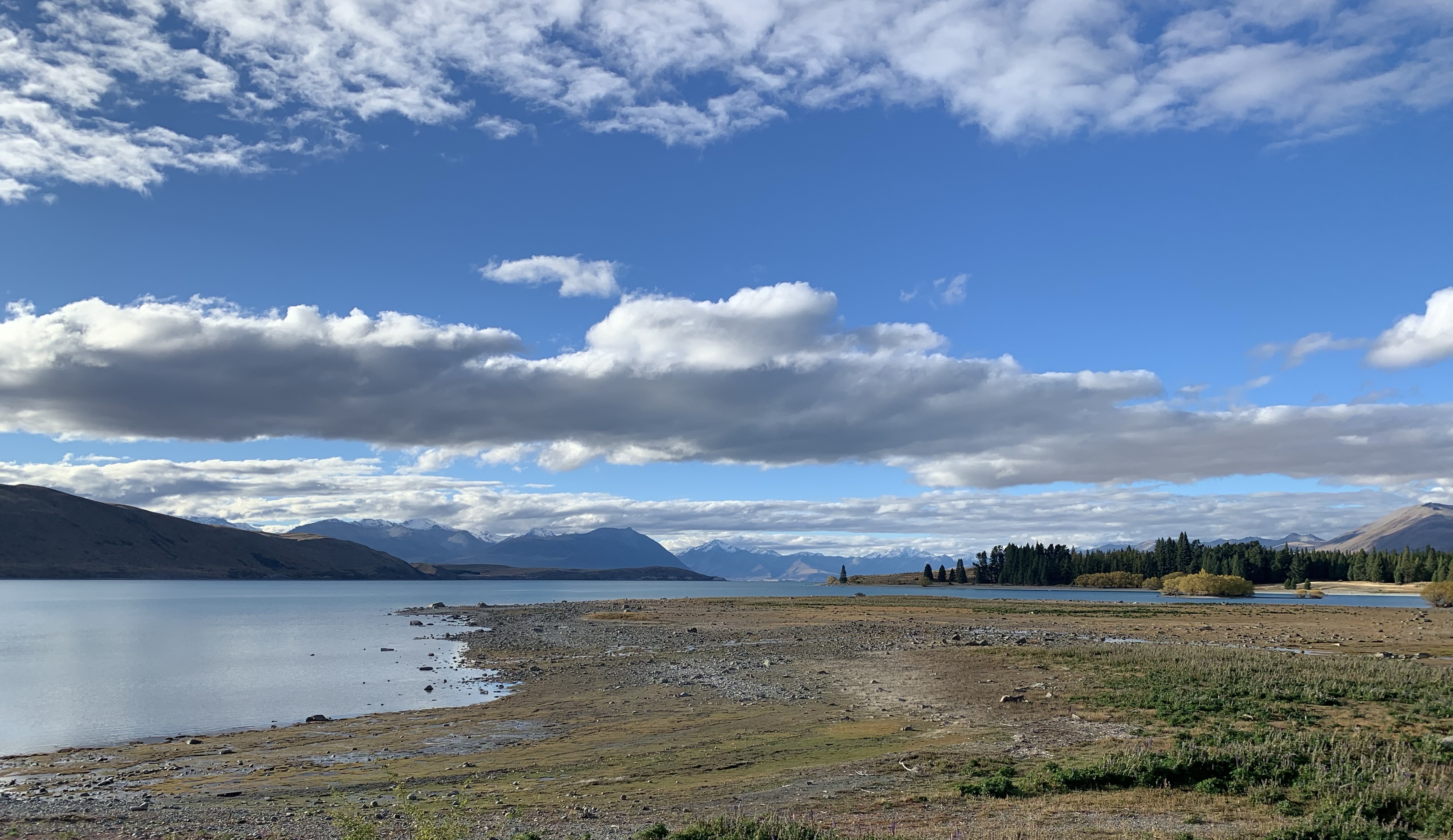
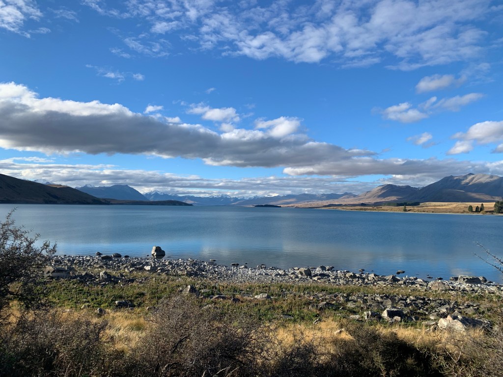
The beautifully clear day gave us a magnificent view of Mt Cook.
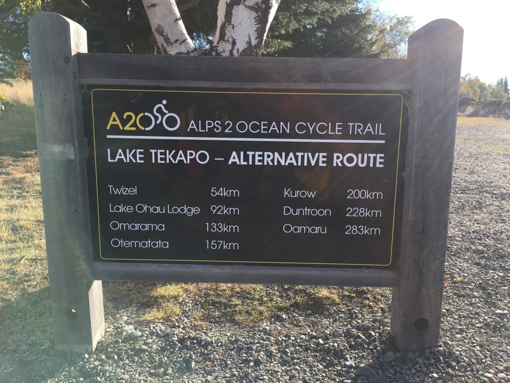
We didn’t take the main A2O route up to Mt Cook as it would have been a 50 km ride up and back. Instead we took the alternative route through to Tekapo.
A quick stop at the salmon shop for tonight’s dinner, we followed Lake Pukaki for the next 14 kms, with an ever changing view of Mt Cook.
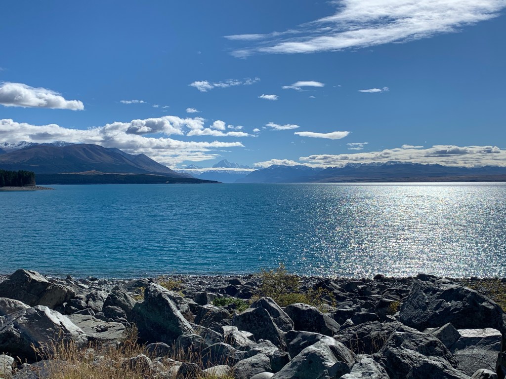
I rode in awe of the mountain, feeling a mystical presence watching over us. So overwhelming was this presence, that tears were just under the surface.
Then came a gnarly climb up to the Tekapo B power station and back along the canals. Although the canals were flat, the mixture of tar seal and gravel made for big day at the office.
Lovely to be in Tekapo, although we couldn’t find the traditional picture frame to end our O2A ride.
Oh well, tent’s up and Greg’s doing dinner, another perfect end to my day.
Our trail riding has come to an end for a while. The bright lights of Christchurch are beckoning…
What we are reading Greg – Fools Rush In by Bill Carter and Jeanette – The Pillars of the Earth by Ken Follett (still!!)

Fantastic photos on A2O – well done. Those barriers are pesky- also on C to C up north. We passed on the criticism but not sure if they’ll amend them. Bonne route- Michael
LikeLiked by 1 person
Never apologies for beautiful photos. Us armchair cyclists are living and loving every moment. Hx
LikeLiked by 1 person
Oh wow. So many gorgeous photos – great reminders for us. Almost makes me wish we’d done it by bike like you. Both looking so happy and full of life xx
LikeLiked by 1 person
I loved the A20!! Because I was sleeping in my car (so had to return to it each night), I saw the trail in both directions :). Thanks for the coverage, Jeanette. So good to relive it vicariously! Xxx
LikeLiked by 1 person
More wonderful journeying. Must be super fit now.
LikeLiked by 1 person
Wonderful scenery on your journey, and am enjoying all the moments that you are taking the time to share with us.
Fingers crossed that the weather stays settled for a little longer for you both
Stay safe
LikeLiked by 1 person
Well done I am enjoying your travels very informative !!!!!! Aunty Sally
LikeLiked by 1 person